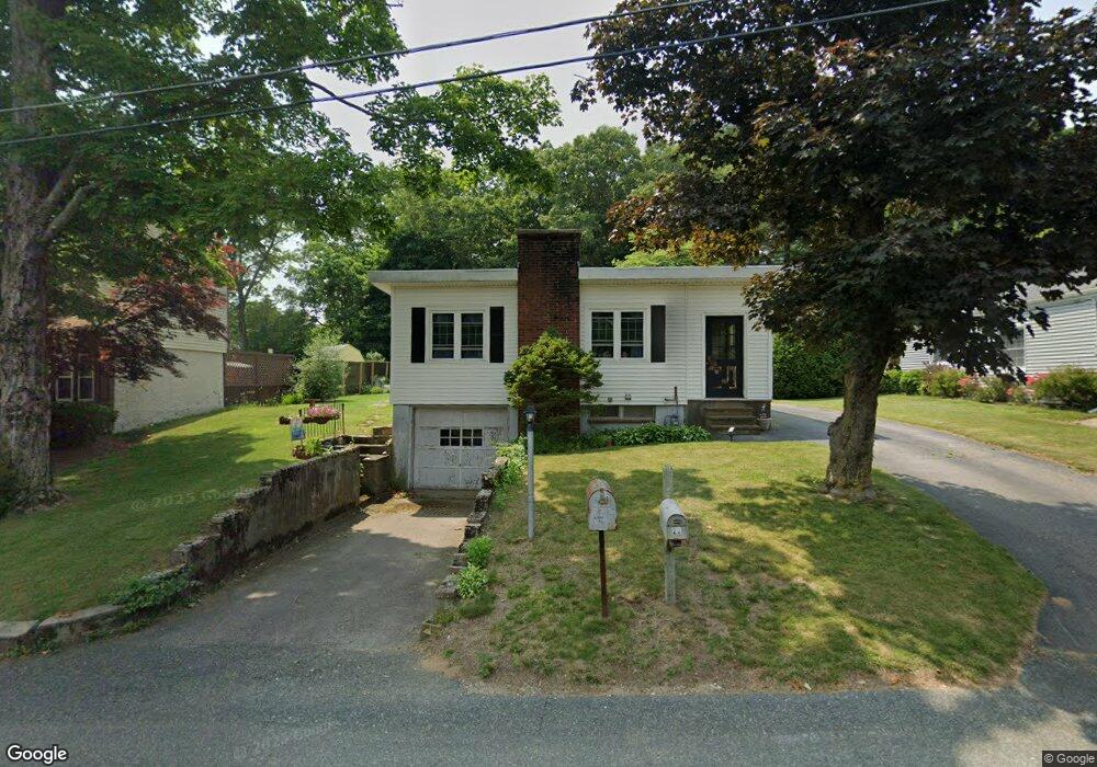
22 Woodland Rd West Bridgewater, MA 02379
Estimated Value: $386,000 - $428,000
1
Bed
2
Baths
858
Sq Ft
$470/Sq Ft
Est. Value
About This Home
This home is located at 22 Woodland Rd, West Bridgewater, MA 02379 and is currently estimated at $403,347, approximately $470 per square foot. 22 Woodland Rd is a home located in Plymouth County with nearby schools including Spring Street Elementary School, Howard Elementary School, and Rose L. MacDonald Elementary School.
Ownership History
Date
Name
Owned For
Owner Type
Purchase Details
Closed on
Jul 7, 1994
Sold by
Glinski Hazel B
Bought by
Breer Allen A
Current Estimated Value
Home Financials for this Owner
Home Financials are based on the most recent Mortgage that was taken out on this home.
Original Mortgage
$74,847
Interest Rate
8.51%
Mortgage Type
Purchase Money Mortgage
Create a Home Valuation Report for This Property
The Home Valuation Report is an in-depth analysis detailing your home's value as well as a comparison with similar homes in the area
Home Values in the Area
Average Home Value in this Area
Purchase History
| Date | Buyer | Sale Price | Title Company |
|---|---|---|---|
| Breer Allen A | $74,900 | -- |
Source: Public Records
Mortgage History
| Date | Status | Borrower | Loan Amount |
|---|---|---|---|
| Open | Breer Allen A | $100,000 | |
| Closed | Breer Allen A | $74,847 |
Source: Public Records
Tax History Compared to Growth
Tax History
| Year | Tax Paid | Tax Assessment Tax Assessment Total Assessment is a certain percentage of the fair market value that is determined by local assessors to be the total taxable value of land and additions on the property. | Land | Improvement |
|---|---|---|---|---|
| 2025 | $4,076 | $298,200 | $196,700 | $101,500 |
| 2024 | $3,902 | $275,400 | $178,300 | $97,100 |
| 2023 | $3,673 | $239,000 | $154,400 | $84,600 |
| 2022 | $3,465 | $213,600 | $145,200 | $68,400 |
| 2021 | $3,569 | $213,600 | $145,200 | $68,400 |
| 2020 | $3,497 | $213,600 | $145,200 | $68,400 |
| 2019 | $3,498 | $211,600 | $145,200 | $66,400 |
| 2018 | $28 | $199,700 | $137,900 | $61,800 |
| 2017 | $3,261 | $183,900 | $125,000 | $58,900 |
| 2016 | $3,152 | $175,100 | $116,200 | $58,900 |
| 2015 | $3,083 | $173,100 | $116,200 | $56,900 |
| 2014 | $2,854 | $173,100 | $116,200 | $56,900 |
Source: Public Records
Map
Nearby Homes
- 42 Matfield St
- 18 American Ave
- 386 Matfield St
- Lot 1 Jeffrey Ln
- 6 Maddison
- 16 Friendship Dr
- 34 Captain Carlson Way
- 38 Leland St
- 50 Belmont St
- 6 Andrea Way
- 92 Bryant St
- 281 Spring St
- 21 Roosevelt Ave
- 1 Fairway Dr
- 1 Thomas Cir
- 245-r Laurel St
- 192 S Main St
- 139 Geralynn Dr
- 505 N Central St
- 13 Finny's Way
- 24 Woodland Rd
- 20 Woodland Rd
- 26 Woodland Rd
- 130 Matfield St
- 134 Matfield St
- 23 Woodland Rd
- 19 Woodland Rd
- 27 Woodland Rd
- 120 Matfield St
- 30 Woodland Rd
- 154 Matfield St
- 29 Woodland Rd
- LOT 4 Sandy Hill Rd
- LOT 2 Sandy Hill Rd
- 79 Pinecrest Rd
- 131 Matfield St
- 145 Matfield St
- 112 Matfield St
- 31 Woodland Rd
- 115 Matfield St