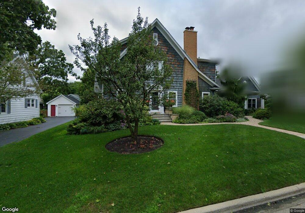
220 Sunset Dr Libertyville, IL 60048
Estimated Value: $917,000 - $1,121,000
--
Bed
3
Baths
3,227
Sq Ft
$320/Sq Ft
Est. Value
About This Home
This home is located at 220 Sunset Dr, Libertyville, IL 60048 and is currently estimated at $1,031,884, approximately $319 per square foot. 220 Sunset Dr is a home located in Lake County with nearby schools including Butterfield School, Highland Middle School, and Libertyville High School.
Ownership History
Date
Name
Owned For
Owner Type
Purchase Details
Closed on
Nov 27, 1995
Sold by
Baker Peter D
Bought by
Marcus Steven J and Marcus Stephanie A
Current Estimated Value
Home Financials for this Owner
Home Financials are based on the most recent Mortgage that was taken out on this home.
Original Mortgage
$238,050
Outstanding Balance
$4,239
Interest Rate
6%
Estimated Equity
$1,027,645
Purchase Details
Closed on
Sep 19, 1994
Sold by
Santi Nancy C and Santi Nancy Carol
Bought by
Baker Peter D
Home Financials for this Owner
Home Financials are based on the most recent Mortgage that was taken out on this home.
Original Mortgage
$223,000
Interest Rate
7.25%
Create a Home Valuation Report for This Property
The Home Valuation Report is an in-depth analysis detailing your home's value as well as a comparison with similar homes in the area
Home Values in the Area
Average Home Value in this Area
Purchase History
| Date | Buyer | Sale Price | Title Company |
|---|---|---|---|
| Marcus Steven J | $264,500 | First American Title | |
| Baker Peter D | $235,000 | Imperial Land Title Inc |
Source: Public Records
Mortgage History
| Date | Status | Borrower | Loan Amount |
|---|---|---|---|
| Open | Marcus Steven J | $238,050 | |
| Previous Owner | Baker Peter D | $223,000 |
Source: Public Records
Tax History Compared to Growth
Tax History
| Year | Tax Paid | Tax Assessment Tax Assessment Total Assessment is a certain percentage of the fair market value that is determined by local assessors to be the total taxable value of land and additions on the property. | Land | Improvement |
|---|---|---|---|---|
| 2024 | $20,470 | $284,249 | $108,599 | $175,650 |
| 2023 | $19,961 | $262,174 | $100,165 | $162,009 |
| 2022 | $19,961 | $255,581 | $96,276 | $159,305 |
| 2021 | $19,223 | $250,080 | $94,204 | $155,876 |
| 2020 | $18,504 | $245,875 | $92,620 | $153,255 |
| 2019 | $18,043 | $243,537 | $91,739 | $151,798 |
| 2018 | $17,774 | $247,915 | $95,512 | $152,403 |
| 2017 | $17,530 | $240,089 | $92,497 | $147,592 |
| 2016 | $16,962 | $227,637 | $87,700 | $139,937 |
| 2015 | $16,825 | $212,764 | $81,970 | $130,794 |
| 2014 | $13,411 | $199,913 | $77,019 | $122,894 |
| 2012 | $12,746 | $193,892 | $74,699 | $119,193 |
Source: Public Records
Map
Nearby Homes
- 551 W Park Ave Unit E
- 420 W Cook Ave
- 505 Lange Ct
- 212 Elm Ct
- 308 Mckinley Ave
- 423 Ames St
- 1754 Glenmore Rd
- 0 Ames St
- 533 Drake St
- 217 E Church St
- 619 Parkside Ct
- 212 W Ellis Ave
- 616 Parkside Ct
- 662 Parkside Ct
- 426 S Milwaukee Ave
- 694 Parkside Ct
- 208 W Ellis Ave
- 204 W Ellis Ave
- 922 N Milwaukee Ave Unit A
- 224 Newberry Ave