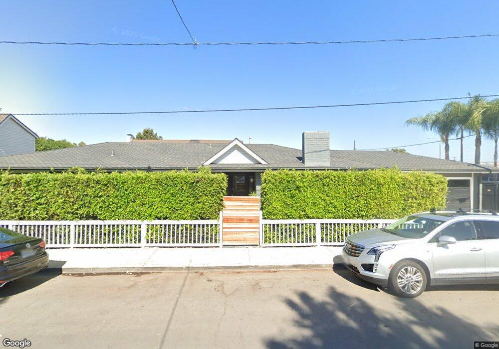
2200 Holly Ln Newport Beach, CA 92663
Newport Heights NeighborhoodEstimated Value: $2,433,000 - $4,311,000
3
Beds
3
Baths
2,433
Sq Ft
$1,415/Sq Ft
Est. Value
About This Home
This home is located at 2200 Holly Ln, Newport Beach, CA 92663 and is currently estimated at $3,441,878, approximately $1,414 per square foot. 2200 Holly Ln is a home located in Orange County with nearby schools including Newport Heights Elementary, Horace Ensign Intermediate School, and Newport Harbor High School.
Ownership History
Date
Name
Owned For
Owner Type
Purchase Details
Closed on
Aug 2, 2000
Sold by
Halderson Jerome L and Halderson Cecilia M
Bought by
Dick Darin M
Current Estimated Value
Home Financials for this Owner
Home Financials are based on the most recent Mortgage that was taken out on this home.
Original Mortgage
$482,000
Outstanding Balance
$173,904
Interest Rate
8.15%
Mortgage Type
Stand Alone First
Estimated Equity
$3,267,974
Create a Home Valuation Report for This Property
The Home Valuation Report is an in-depth analysis detailing your home's value as well as a comparison with similar homes in the area
Home Values in the Area
Average Home Value in this Area
Purchase History
| Date | Buyer | Sale Price | Title Company |
|---|---|---|---|
| Dick Darin M | $482,000 | Guardian Title Company |
Source: Public Records
Mortgage History
| Date | Status | Borrower | Loan Amount |
|---|---|---|---|
| Open | Dick Darin M | $482,000 |
Source: Public Records
Tax History Compared to Growth
Tax History
| Year | Tax Paid | Tax Assessment Tax Assessment Total Assessment is a certain percentage of the fair market value that is determined by local assessors to be the total taxable value of land and additions on the property. | Land | Improvement |
|---|---|---|---|---|
| 2025 | $8,702 | $793,909 | $466,828 | $327,081 |
| 2024 | $8,702 | $778,343 | $457,675 | $320,668 |
| 2023 | $8,498 | $763,082 | $448,701 | $314,381 |
| 2022 | $8,338 | $748,120 | $439,903 | $308,217 |
| 2021 | $8,173 | $733,451 | $431,277 | $302,174 |
| 2020 | $8,096 | $725,931 | $426,855 | $299,076 |
| 2019 | $7,935 | $711,698 | $418,486 | $293,212 |
| 2018 | $7,781 | $697,744 | $410,281 | $287,463 |
| 2017 | $7,646 | $684,063 | $402,236 | $281,827 |
| 2016 | $7,477 | $670,650 | $394,349 | $276,301 |
| 2015 | $7,404 | $660,577 | $388,426 | $272,151 |
| 2014 | $7,230 | $647,638 | $380,818 | $266,820 |
Source: Public Records
Map
Nearby Homes
- 2217 Laurel Place
- 496 E 16th St
- 411 Lenwood Dr
- 1705 Haven Place Unit 1
- 387 La Perle Place
- 1596 Riverside Place
- 1805 Clay St
- 430 Aliso Ave
- 1594 Redlands Place
- 411 Snug Harbor Rd
- 401 Snug Harbor Rd
- 1800 Westcliff Dr
- 321 Fullerton Ave
- 421 Tustin Ave
- 212 Kings Place
- 1741 Tustin Ave Unit 10C
- 125 Kings Place
- 1232 Blue Gum Ln
- 31 Cape Andover
- 465 Santa Ana Ave
- 2201 Laurel Place
- 2207 Laurel Place
- 2214 Holly Ln
- 2211 Laurel Place
- 2201 Holly Ln
- 2207 Holly Ln
- 2215 Holly Ln
- 2221 Holly Ln
- 2223 Laurel Place
- 645 Irvine Ave
- 647 Irvine Ave
- 2200 Laurel Place
- 2212 Laurel Place Unit 1/2
- 2212 Laurel Place
- 2212 1/2 Laurel Place Unit 1/2
- 2227 Holly Ln
- 2301 Laurel Place
- 2212 Margaret Dr
- 2218 Laurel Place
- 641 Irvine Ave