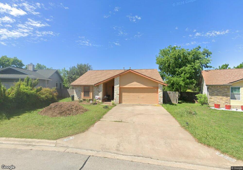
2200 Lasso Dr Round Rock, TX 78681
Round Rock West NeighborhoodEstimated Value: $281,000 - $294,000
3
Beds
2
Baths
1,190
Sq Ft
$240/Sq Ft
Est. Value
About This Home
This home is located at 2200 Lasso Dr, Round Rock, TX 78681 and is currently estimated at $285,627, approximately $240 per square foot. 2200 Lasso Dr is a home located in Williamson County with nearby schools including Bluebonnet Elementary School, Chisholm Trail Middle School, and Round Rock High School.
Ownership History
Date
Name
Owned For
Owner Type
Purchase Details
Closed on
May 29, 2009
Sold by
Dutka Adam J
Bought by
Holman Aaron
Current Estimated Value
Home Financials for this Owner
Home Financials are based on the most recent Mortgage that was taken out on this home.
Original Mortgage
$109,971
Outstanding Balance
$69,444
Interest Rate
4.76%
Mortgage Type
FHA
Estimated Equity
$216,183
Purchase Details
Closed on
Apr 16, 2007
Sold by
Hud
Bought by
Dutka Adam
Home Financials for this Owner
Home Financials are based on the most recent Mortgage that was taken out on this home.
Original Mortgage
$79,200
Interest Rate
6.15%
Mortgage Type
Purchase Money Mortgage
Purchase Details
Closed on
Nov 7, 2006
Sold by
Washington Mutual Bank
Bought by
Hud
Create a Home Valuation Report for This Property
The Home Valuation Report is an in-depth analysis detailing your home's value as well as a comparison with similar homes in the area
Home Values in the Area
Average Home Value in this Area
Purchase History
| Date | Buyer | Sale Price | Title Company |
|---|---|---|---|
| Holman Aaron | -- | Alamo Title Company | |
| Dutka Adam | -- | None Available | |
| Hud | -- | None Available | |
| Washington Mutual Bank | $133,027 | None Available |
Source: Public Records
Mortgage History
| Date | Status | Borrower | Loan Amount |
|---|---|---|---|
| Open | Holman Aaron | $109,971 | |
| Previous Owner | Dutka Adam | $79,200 |
Source: Public Records
Tax History Compared to Growth
Tax History
| Year | Tax Paid | Tax Assessment Tax Assessment Total Assessment is a certain percentage of the fair market value that is determined by local assessors to be the total taxable value of land and additions on the property. | Land | Improvement |
|---|---|---|---|---|
| 2025 | $3,695 | $283,120 | $69,644 | $213,476 |
| 2024 | $3,695 | $262,030 | -- | -- |
| 2023 | $3,213 | $238,209 | $77,000 | $161,209 |
| 2022 | $4,420 | $233,065 | $0 | $0 |
| 2021 | $4,756 | $211,877 | $54,000 | $195,517 |
| 2020 | $4,348 | $192,615 | $51,375 | $141,240 |
| 2019 | $4,457 | $193,047 | $46,127 | $148,884 |
| 2018 | $3,718 | $175,497 | $36,059 | $150,868 |
| 2017 | $3,759 | $159,543 | $33,700 | $132,779 |
| 2016 | $3,417 | $145,039 | $33,700 | $117,630 |
| 2015 | $2,614 | $131,854 | $30,800 | $104,632 |
| 2014 | $2,614 | $119,867 | $0 | $0 |
Source: Public Records
Map
Nearby Homes
- 2210 Lasso Dr
- 901 Pack Saddle Pass
- 2104 Dry Creek Dr
- 1702 Wagon Gap Dr
- 1108 Christopher Ave
- 513 Purple Sage Dr
- 621 Buckskin Dr
- 812 Christopher Ave
- 1200 Hesters Crossing Rd
- 500 Hesters Crossing Rd Unit 411
- 500 Hesters Crossing Rd Unit 110
- 500 Hesters Crossing Rd Unit 310
- 1325 Old Austin Rock Rd
- 523 Chisholm Valley Dr
- 600 Buckskin Dr
- 605 Wagon Wheel Dr
- 1502 Roundup Trail
- 330 Old Dr W
- 1601 Sagebrush Dr
- 1508 Woodhill Dr