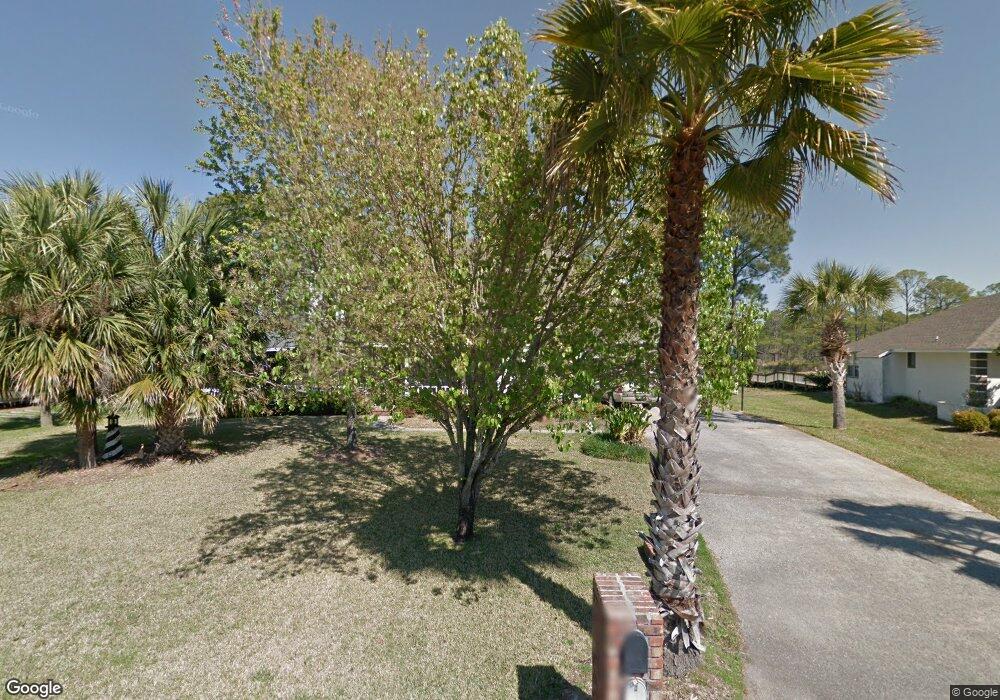
2202 Coral Dr Lynn Haven, FL 32444
Estimated Value: $710,000 - $796,471
5
Beds
4
Baths
3,385
Sq Ft
$225/Sq Ft
Est. Value
About This Home
This home is located at 2202 Coral Dr, Lynn Haven, FL 32444 and is currently estimated at $760,157, approximately $224 per square foot. 2202 Coral Dr is a home located in Bay County with nearby schools including Lynn Haven Elementary School, Mowat Middle School, and A. Crawford Mosley High School.
Ownership History
Date
Name
Owned For
Owner Type
Purchase Details
Closed on
Jul 6, 2023
Sold by
Baumgardner Brian P and Baumgardner Marie S
Bought by
Joint Revocable Trust and Baumgardner
Current Estimated Value
Purchase Details
Closed on
Nov 28, 2008
Sold by
Randles Emma J
Bought by
Baumgardner Brian P and Baumgardner Marie S
Home Financials for this Owner
Home Financials are based on the most recent Mortgage that was taken out on this home.
Original Mortgage
$417,000
Interest Rate
6.51%
Mortgage Type
Purchase Money Mortgage
Purchase Details
Closed on
Oct 15, 2007
Sold by
Randles Thomas W and Randles Emma J
Bought by
Randles Emma J
Create a Home Valuation Report for This Property
The Home Valuation Report is an in-depth analysis detailing your home's value as well as a comparison with similar homes in the area
Home Values in the Area
Average Home Value in this Area
Purchase History
| Date | Buyer | Sale Price | Title Company |
|---|---|---|---|
| Joint Revocable Trust | $100 | None Listed On Document | |
| Joint Revocable Trust | $100 | None Listed On Document | |
| Baumgardner Brian P | $630,000 | Florida Land Title Llc | |
| Randles Emma J | -- | Attorney |
Source: Public Records
Mortgage History
| Date | Status | Borrower | Loan Amount |
|---|---|---|---|
| Previous Owner | Baumgardner Brian P | $417,000 |
Source: Public Records
Tax History Compared to Growth
Tax History
| Year | Tax Paid | Tax Assessment Tax Assessment Total Assessment is a certain percentage of the fair market value that is determined by local assessors to be the total taxable value of land and additions on the property. | Land | Improvement |
|---|---|---|---|---|
| 2024 | $6,359 | $464,208 | -- | -- |
| 2023 | $6,359 | $450,687 | $0 | $0 |
| 2022 | $5,806 | $437,560 | $0 | $0 |
| 2021 | $5,763 | $424,816 | $0 | $0 |
| 2020 | $5,660 | $418,951 | $162,211 | $256,740 |
| 2019 | $5,022 | $385,687 | $144,424 | $241,263 |
| 2018 | $5,526 | $415,696 | $0 | $0 |
| 2017 | $5,594 | $414,487 | $0 | $0 |
| 2016 | $5,777 | $417,938 | $0 | $0 |
| 2015 | $5,986 | $420,383 | $0 | $0 |
| 2014 | $6,017 | $422,827 | $0 | $0 |
Source: Public Records
Map
Nearby Homes
- 702 Beachcomber Dr
- 1307 New Jersey Ave
- 1403 New Jersey Ave
- 1115 Connecticut Ave
- 1610 Rhode Island Ave
- 1301 New Hampshire Ave
- 1808 New Jersey Ave
- 1113 New Hampshire Ave
- 1016 Goose Bayou Rd
- 4338 Schooner Ln
- 4320 Northshore Rd
- 810 W 8th Street Cir
- 1938 Quail Run
- 1105 W 19th St
- 1929 Quail Run
- 113/115 Carolina Ave
- 1922 Maine Ave
- 707 W 8th Street Cir
- 917 Carolina Ave
- 1501 Kentucky Ave