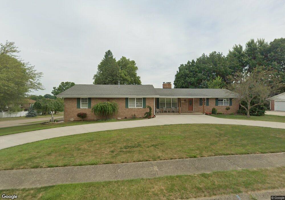
2207 Edmar St Louisville, OH 44641
Estimated Value: $274,000 - $318,000
3
Beds
3
Baths
1,678
Sq Ft
$173/Sq Ft
Est. Value
About This Home
This home is located at 2207 Edmar St, Louisville, OH 44641 and is currently estimated at $290,776, approximately $173 per square foot. 2207 Edmar St is a home located in Stark County with nearby schools including Louisville High School and St. Thomas Aquinas High School & Middle School.
Ownership History
Date
Name
Owned For
Owner Type
Purchase Details
Closed on
May 18, 2004
Sold by
Dilling John R and Dilling Patricia R
Bought by
Westlake Steven C and Westlake Anne C
Current Estimated Value
Home Financials for this Owner
Home Financials are based on the most recent Mortgage that was taken out on this home.
Original Mortgage
$30,000
Interest Rate
5.99%
Mortgage Type
Balloon
Create a Home Valuation Report for This Property
The Home Valuation Report is an in-depth analysis detailing your home's value as well as a comparison with similar homes in the area
Home Values in the Area
Average Home Value in this Area
Purchase History
| Date | Buyer | Sale Price | Title Company |
|---|---|---|---|
| Westlake Steven C | $165,000 | -- |
Source: Public Records
Mortgage History
| Date | Status | Borrower | Loan Amount |
|---|---|---|---|
| Closed | Westlake Steven C | $30,000 |
Source: Public Records
Tax History Compared to Growth
Tax History
| Year | Tax Paid | Tax Assessment Tax Assessment Total Assessment is a certain percentage of the fair market value that is determined by local assessors to be the total taxable value of land and additions on the property. | Land | Improvement |
|---|---|---|---|---|
| 2025 | -- | $86,910 | $20,060 | $66,850 |
| 2024 | -- | $86,910 | $20,060 | $66,850 |
| 2023 | $3,317 | $77,210 | $18,900 | $58,310 |
| 2022 | $3,324 | $77,210 | $18,900 | $58,310 |
| 2021 | $3,333 | $77,210 | $18,900 | $58,310 |
| 2020 | $2,727 | $68,610 | $17,050 | $51,560 |
| 2019 | $2,702 | $67,700 | $17,050 | $50,650 |
| 2018 | $2,692 | $67,700 | $17,050 | $50,650 |
| 2017 | $2,491 | $60,450 | $14,980 | $45,470 |
| 2016 | $2,542 | $60,450 | $14,980 | $45,470 |
| 2015 | $2,549 | $60,450 | $14,980 | $45,470 |
| 2014 | $371 | $52,260 | $12,950 | $39,310 |
| 2013 | $1,189 | $52,260 | $12,950 | $39,310 |
Source: Public Records
Map
Nearby Homes
- 2110 Edmar St
- 1812 E Broad St
- 1715 High St
- 3390 Meese Rd NE
- 2015 E Main St
- 641 S Nickelplate St
- 308 Superior St
- 520 S Silver St
- 908 Sand Lot Cir
- 0 Michigan Blvd
- 728 E Broad St
- 8225 Georgetown St
- 510 S Bauman Ct
- 204 E Broad St
- 107 E Broad St
- 325 Lincoln Ave
- 1702 View Pointe Ave
- 1170 Winding Ridge Ave
- 1639 Horizon Dr
- 910 Crosswyck Cir
- 1130 Century Hill St
- 2219 Edmar St
- 2131 Edmar St
- 1976 Opal St
- 1208 Century Hill St
- 1100 Century Hill St
- 2218 Edmar St
- 2125 Edmar St
- 1125 Meese Rd
- 2132 Edmar St
- 1966 Opal St
- 1113 Meese Rd
- 2230 Edmar St
- 1090 Century Hill St
- 1220 Century Hill St
- 2120 Edmar St
- 1977 Opal St
- 2115 Edmar St
- 1956 Opal St
- 1076 Century Hill St