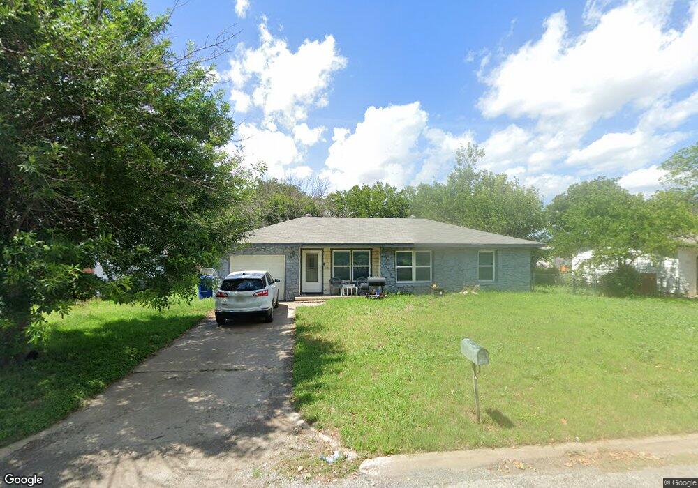
2209 Keenan Ave Copperas Cove, TX 76522
Estimated Value: $101,000 - $118,386
3
Beds
1
Bath
1,029
Sq Ft
$107/Sq Ft
Est. Value
About This Home
This home is located at 2209 Keenan Ave, Copperas Cove, TX 76522 and is currently estimated at $109,693, approximately $106 per square foot. 2209 Keenan Ave is a home located in Coryell County with nearby schools including C.R. Clements/Hollie Parsons Elementary School, Copperas Cove Junior High School, and Copperas Cove High School.
Ownership History
Date
Name
Owned For
Owner Type
Purchase Details
Closed on
Jul 10, 2015
Sold by
Taylor Provencher Evelyn S and Dillman Jefferson
Bought by
Garry Kelly Mona Marie and Johnson Kariem Davis
Current Estimated Value
Home Financials for this Owner
Home Financials are based on the most recent Mortgage that was taken out on this home.
Original Mortgage
$39,275
Outstanding Balance
$30,506
Interest Rate
3.75%
Mortgage Type
FHA
Estimated Equity
$79,187
Create a Home Valuation Report for This Property
The Home Valuation Report is an in-depth analysis detailing your home's value as well as a comparison with similar homes in the area
Home Values in the Area
Average Home Value in this Area
Purchase History
| Date | Buyer | Sale Price | Title Company |
|---|---|---|---|
| Garry Kelly Mona Marie | -- | None Available |
Source: Public Records
Mortgage History
| Date | Status | Borrower | Loan Amount |
|---|---|---|---|
| Open | Garry Kelly Mona Marie | $39,275 |
Source: Public Records
Tax History Compared to Growth
Tax History
| Year | Tax Paid | Tax Assessment Tax Assessment Total Assessment is a certain percentage of the fair market value that is determined by local assessors to be the total taxable value of land and additions on the property. | Land | Improvement |
|---|---|---|---|---|
| 2025 | $816 | $77,547 | -- | -- |
| 2023 | $816 | $64,088 | $0 | $0 |
| 2022 | $1,307 | $86,930 | $12,500 | $74,430 |
| 2021 | $1,365 | $55,400 | $12,500 | $42,900 |
| 2020 | $1,261 | $48,150 | $10,000 | $38,150 |
| 2019 | $1,556 | $60,680 | $10,000 | $50,680 |
| 2018 | $1,415 | $52,160 | $10,000 | $42,160 |
| 2017 | $1,387 | $52,160 | $10,000 | $42,160 |
| 2016 | $1,359 | $51,110 | $10,000 | $41,110 |
| 2015 | $1,140 | $52,360 | $10,000 | $42,360 |
| 2014 | $1,140 | $52,100 | $10,000 | $42,100 |
Source: Public Records
Map
Nearby Homes
- 205 Dewald St Unit A/B
- 211 Marston Ave
- 204 Dewald St
- 1837 Patriot Cir
- 305 Carothers St
- 423 Carothers St
- 421 Carothers St
- 107 Hardeman St
- 726,730,734,738 Constitution Dr
- 1855 Patriot Cir
- 440 Jeffery Ln
- 302 Easy St
- 302 East St
- 1603 E Robertson Ave
- 205 Nauert St
- 703 Craddock St
- 711 Mueller St
- 902 Craddock St
- 1509 Virginia Ave
- 404 Oak St
- 2207 Keenan Ave
- 2211 Keenan Ave
- 2205 Keenan Ave
- 2208 Keenan Ave
- 202 Marston Ave Unit B
- 202 Marston Ave Unit A
- 202 Marston Ave
- 108 Gibson St
- 202 Marston St Unit A & B
- 202 Marston :Unit A Ave
- 203 Marston Ave
- 202 Gibson St
- 2622 E Business Highway 190
- 204 Marston Ave
- 2602 E Business 190
- 205 Marston Ave
- 000 Fm 2657 & Hwy 190
- 206 Marston Ave
- 208 Gibson St
- 207 Marston Ave