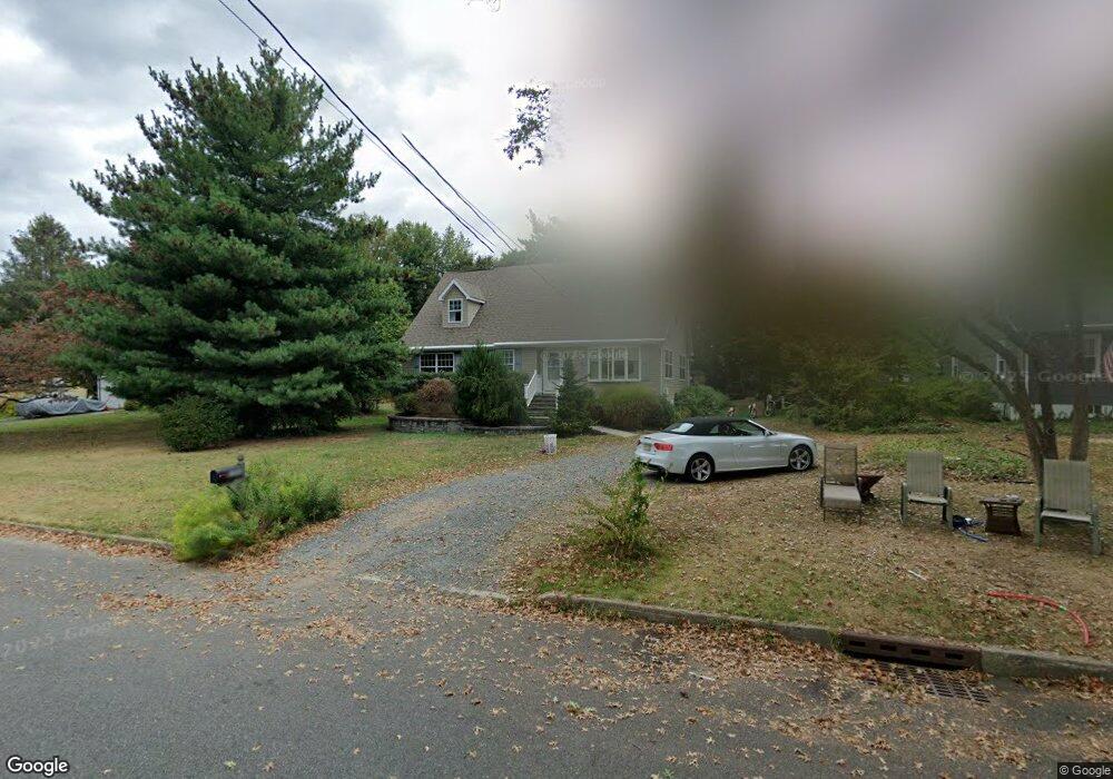
220A Wilson Ave Hightstown, NJ 08520
Estimated Value: $392,000 - $499,000
--
Bed
--
Bath
1,352
Sq Ft
$317/Sq Ft
Est. Value
About This Home
This home is located at 220A Wilson Ave, Hightstown, NJ 08520 and is currently estimated at $428,714, approximately $317 per square foot. 220A Wilson Ave is a home with nearby schools including Melvin H. Kreps Middle School, Hightstown High School, and SciCore Academy.
Ownership History
Date
Name
Owned For
Owner Type
Purchase Details
Closed on
Sep 17, 2025
Sold by
Sheenan Michael J
Bought by
Sheenan Michael J and Sheenan Samantha S
Current Estimated Value
Purchase Details
Closed on
Feb 3, 2023
Sold by
Sheenan Michael
Bought by
Sheenan Michael J
Purchase Details
Closed on
Dec 18, 2008
Sold by
Tornquist Frederick and Sheenan Michael J
Bought by
Sheenan Michael
Create a Home Valuation Report for This Property
The Home Valuation Report is an in-depth analysis detailing your home's value as well as a comparison with similar homes in the area
Home Values in the Area
Average Home Value in this Area
Purchase History
| Date | Buyer | Sale Price | Title Company |
|---|---|---|---|
| Sheenan Michael J | -- | None Listed On Document | |
| Sheenan Michael J | -- | None Listed On Document | |
| Sheenan Michael | -- | None Available |
Source: Public Records
Tax History Compared to Growth
Tax History
| Year | Tax Paid | Tax Assessment Tax Assessment Total Assessment is a certain percentage of the fair market value that is determined by local assessors to be the total taxable value of land and additions on the property. | Land | Improvement |
|---|---|---|---|---|
| 2025 | $9,948 | $202,900 | $82,100 | $120,800 |
| 2024 | $9,847 | $202,900 | $82,100 | $120,800 |
| 2023 | $9,847 | $202,900 | $82,100 | $120,800 |
| 2022 | $9,506 | $202,900 | $82,100 | $120,800 |
| 2021 | $9,163 | $202,900 | $82,100 | $120,800 |
| 2020 | $8,954 | $202,900 | $82,100 | $120,800 |
| 2019 | $8,704 | $202,900 | $82,100 | $120,800 |
| 2018 | $8,451 | $202,900 | $82,100 | $120,800 |
| 2017 | $8,364 | $202,900 | $82,100 | $120,800 |
| 2016 | $8,290 | $202,900 | $82,100 | $120,800 |
| 2015 | $8,238 | $202,900 | $82,100 | $120,800 |
| 2014 | $8,290 | $202,900 | $82,100 | $120,800 |
Source: Public Records
Map
Nearby Homes
- 4 Sandstone Rd
- 5 Mill Run W
- 128 Monmouth St
- 23 Powell Ct
- 158 Mill Run E
- 23 Barton Dr
- 164 Mill Run E Unit 141
- 309 Lincoln Ave
- 4 Brakeman Ct
- 344 Monmouth St
- 124 Mill Run E Unit 85
- 126 Mill Run E
- 126 Mill Run E Unit 84
- 141 Lincoln Ave
- 145 Lincoln Ave
- 43 Norton Ave
- 104 1st Ave
- 336 Stockton St
- 11 Braxton Ct
- 0 Route 130
- 220 Wilson Ave
- 222 Wilson Ave
- 218 Wilson Ave
- 216 Wilson Ave
- 217 Sunset Ave
- 221 Sunset Ave
- 217 Wilson Ave
- 215 Wilson Ave
- 213 Sunset Ave
- 226 Wilson Ave
- 214 Wilson Ave
- 225 Sunset Ave
- 211 Sunset Ave
- 221 Wilson Ave
- 212 Wilson Ave
- 229 Sunset Ave
- 175 Mechanic St
- 209 Sunset Ave
- 206 Wilson Ave
- 230 Wilson Ave