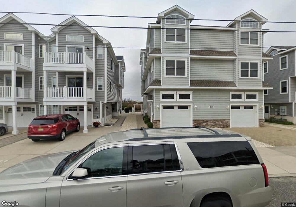
221 54th St Unit WEST Sea Isle City, NJ 08243
Estimated Value: $1,394,919 - $1,573,000
--
Bed
--
Bath
1,990
Sq Ft
$743/Sq Ft
Est. Value
About This Home
This home is located at 221 54th St Unit WEST, Sea Isle City, NJ 08243 and is currently estimated at $1,478,980, approximately $743 per square foot. 221 54th St Unit WEST is a home located in Cape May County with nearby schools including Ocean City Primary School, Ocean City Intermediate School, and Ocean City High School.
Ownership History
Date
Name
Owned For
Owner Type
Purchase Details
Closed on
Sep 16, 2005
Sold by
Jgf Investments Llc
Bought by
Wolfe Robert K and Wolfe Regina M
Current Estimated Value
Home Financials for this Owner
Home Financials are based on the most recent Mortgage that was taken out on this home.
Original Mortgage
$100,000
Outstanding Balance
$53,467
Interest Rate
5.84%
Mortgage Type
Fannie Mae Freddie Mac
Estimated Equity
$1,425,513
Create a Home Valuation Report for This Property
The Home Valuation Report is an in-depth analysis detailing your home's value as well as a comparison with similar homes in the area
Home Values in the Area
Average Home Value in this Area
Purchase History
| Date | Buyer | Sale Price | Title Company |
|---|---|---|---|
| Wolfe Robert K | $818,000 | Shore Title Agency Inc |
Source: Public Records
Mortgage History
| Date | Status | Borrower | Loan Amount |
|---|---|---|---|
| Open | Wolfe Robert K | $100,000 |
Source: Public Records
Tax History Compared to Growth
Tax History
| Year | Tax Paid | Tax Assessment Tax Assessment Total Assessment is a certain percentage of the fair market value that is determined by local assessors to be the total taxable value of land and additions on the property. | Land | Improvement |
|---|---|---|---|---|
| 2025 | $5,899 | $659,800 | $335,400 | $324,400 |
| 2024 | $5,899 | $659,800 | $335,400 | $324,400 |
| 2023 | $5,622 | $659,800 | $335,400 | $324,400 |
| 2022 | $5,285 | $659,800 | $335,400 | $324,400 |
| 2021 | $5,041 | $659,800 | $335,400 | $324,400 |
| 2020 | $4,843 | $659,800 | $335,400 | $324,400 |
| 2019 | $4,737 | $659,800 | $335,400 | $324,400 |
| 2018 | $4,685 | $659,800 | $335,400 | $324,400 |
| 2017 | $4,586 | $659,800 | $335,400 | $324,400 |
| 2016 | $4,434 | $659,800 | $335,400 | $324,400 |
| 2015 | $4,043 | $686,500 | $393,000 | $293,500 |
| 2014 | $4,009 | $686,500 | $393,000 | $293,500 |
Source: Public Records
Map
Nearby Homes
- 210 52nd St Unit SOUTH
- 139 55th St Unit A
- 309 56th St Unit B5
- 329 56th St Unit East Unit
- 34 55th St
- 134 59th St Unit East
- 135 47th St Unit East
- 6009 Landis Ave Unit North
- 126 61st St Unit West
- 126 61st St Unit East
- 7701 Pleasure Ave
- 6009 Pleasure Ave Unit NORTH
- 110 45th St
- 4301 Central Ave Unit North
- 4301 Central Ave
- 135 65th St Unit 12
- 222 42nd St Unit B
- 4200 Central Ave
- 6500 Central Ave Unit SOUTH UNIT
- 6500 Central Ave Unit SOUTH