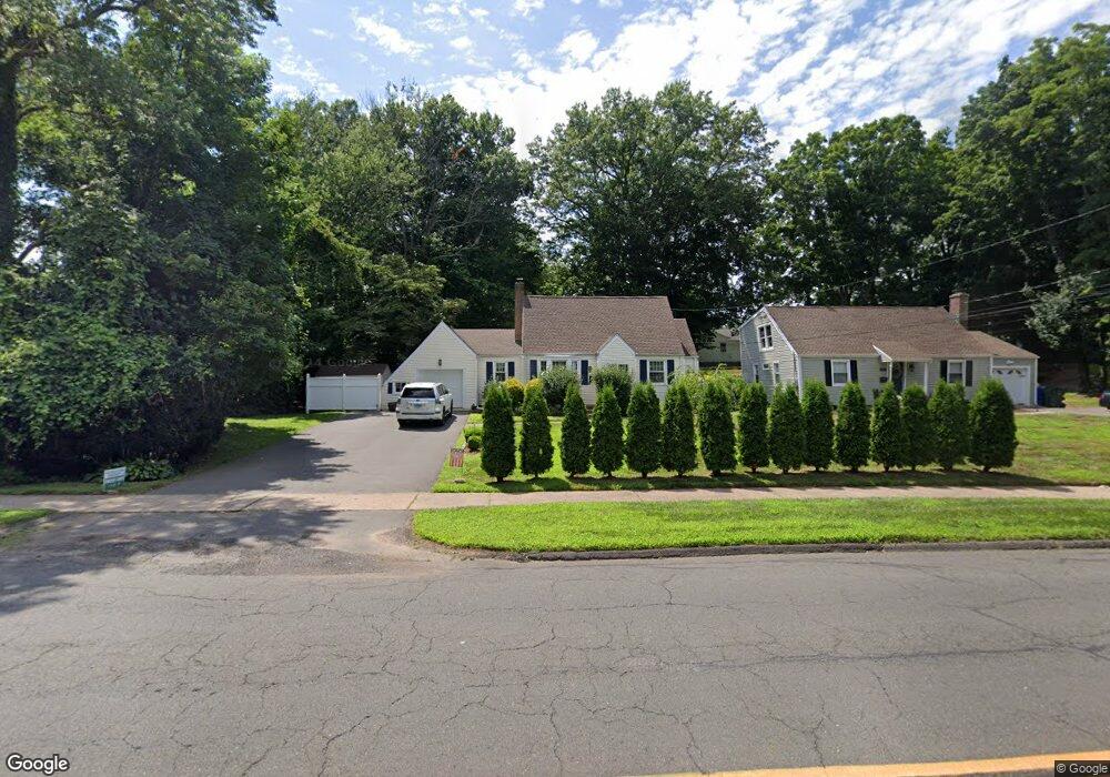
221 Main St Newington, CT 06111
Estimated Value: $293,094 - $398,000
3
Beds
2
Baths
1,333
Sq Ft
$270/Sq Ft
Est. Value
About This Home
This home is located at 221 Main St, Newington, CT 06111 and is currently estimated at $360,524, approximately $270 per square foot. 221 Main St is a home located in Hartford County with nearby schools including Elizabeth Green School, Martin Kellogg Middle School, and Newington High School.
Ownership History
Date
Name
Owned For
Owner Type
Purchase Details
Closed on
Jun 2, 2010
Sold by
Pillion Alyssa
Bought by
Spinelli Marie E and Spinelli Debra M
Current Estimated Value
Home Financials for this Owner
Home Financials are based on the most recent Mortgage that was taken out on this home.
Original Mortgage
$253,580
Outstanding Balance
$164,205
Interest Rate
4.37%
Mortgage Type
FHA
Estimated Equity
$196,319
Purchase Details
Closed on
Apr 12, 2006
Sold by
Frohock Richard and Frohock Belinda
Bought by
Pillion Alyssa
Home Financials for this Owner
Home Financials are based on the most recent Mortgage that was taken out on this home.
Original Mortgage
$282,320
Interest Rate
6.28%
Purchase Details
Closed on
Oct 14, 1988
Sold by
Hunter John C
Bought by
Frohock Richard
Create a Home Valuation Report for This Property
The Home Valuation Report is an in-depth analysis detailing your home's value as well as a comparison with similar homes in the area
Home Values in the Area
Average Home Value in this Area
Purchase History
| Date | Buyer | Sale Price | Title Company |
|---|---|---|---|
| Spinelli Marie E | $257,100 | -- | |
| Pillion Alyssa | $224,900 | -- | |
| Frohock Richard | $140,000 | -- |
Source: Public Records
Mortgage History
| Date | Status | Borrower | Loan Amount |
|---|---|---|---|
| Open | Frohock Richard | $253,580 | |
| Previous Owner | Frohock Richard | $282,320 | |
| Previous Owner | Frohock Richard | $100,000 |
Source: Public Records
Tax History Compared to Growth
Tax History
| Year | Tax Paid | Tax Assessment Tax Assessment Total Assessment is a certain percentage of the fair market value that is determined by local assessors to be the total taxable value of land and additions on the property. | Land | Improvement |
|---|---|---|---|---|
| 2025 | $6,639 | $166,070 | $56,560 | $109,510 |
| 2024 | $6,409 | $161,570 | $56,570 | $105,000 |
| 2023 | $6,198 | $161,570 | $56,570 | $105,000 |
| 2022 | $6,219 | $161,570 | $56,570 | $105,000 |
| 2021 | $6,271 | $161,570 | $56,570 | $105,000 |
| 2020 | $6,116 | $155,710 | $53,030 | $102,680 |
| 2019 | $6,143 | $155,710 | $53,030 | $102,680 |
| 2018 | $5,995 | $155,710 | $53,030 | $102,680 |
| 2017 | $5,697 | $155,710 | $53,030 | $102,680 |
| 2016 | $5,567 | $155,710 | $53,030 | $102,680 |
| 2014 | $5,373 | $154,520 | $52,910 | $101,610 |
Source: Public Records
Map
Nearby Homes
- 47 Francis Dr
- 131 Williamstown Ct Unit 131
- 263 Williamstown Ct
- 29 Sunnyside Rd
- 27 Harding Ave
- 35 Harding Ave
- 140 Camp Ave
- 559 Mountain Rd
- 20 Surrey Dr Unit B16 aka B4
- 37 Commonwealth Ave
- 105 Gilbert Rd
- 31 Dacosta Dr
- 305 Hampton Ct
- 121 Cambridge St
- 93 Marion St Unit 3
- 161 Abbotsford Ave
- 148 Colonial St
- 84 Connecticut Ave
- 43 Marion St
- 127 Hollywood Ave