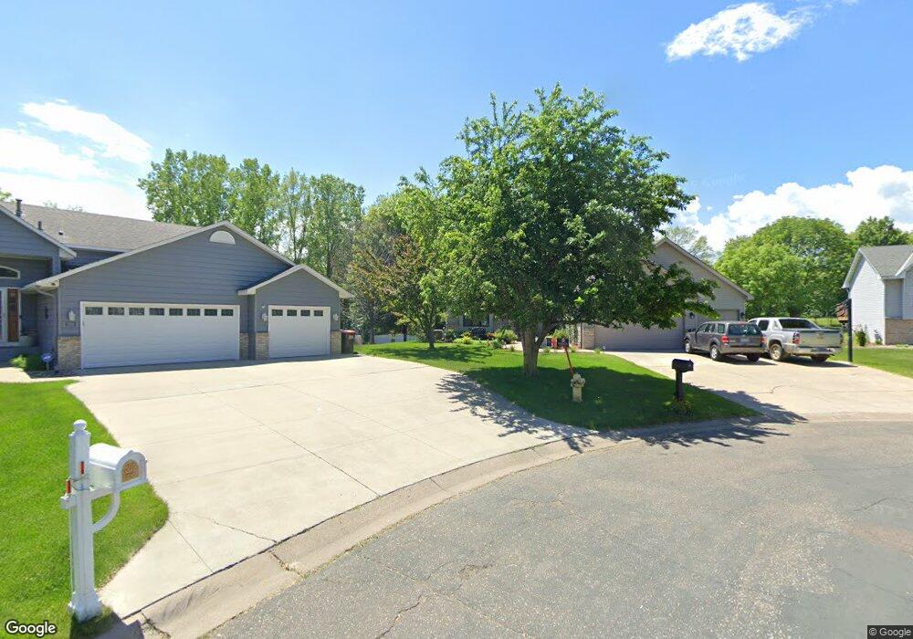
2211 Ide Ct Saint Paul, MN 55109
Sherwood Glen NeighborhoodEstimated Value: $392,000 - $444,000
4
Beds
2
Baths
2,320
Sq Ft
$176/Sq Ft
Est. Value
About This Home
This home is located at 2211 Ide Ct, Saint Paul, MN 55109 and is currently estimated at $408,618, approximately $176 per square foot. 2211 Ide Ct is a home located in Ramsey County with nearby schools including Weaver Elementary School, John Glenn Middle School, and Presentation Of Mary School.
Ownership History
Date
Name
Owned For
Owner Type
Purchase Details
Closed on
Aug 14, 2020
Sold by
Imm Christopher S and Imm Hilary K
Bought by
Becker Deborah and Becker Michael
Current Estimated Value
Home Financials for this Owner
Home Financials are based on the most recent Mortgage that was taken out on this home.
Original Mortgage
$376,000
Outstanding Balance
$332,916
Interest Rate
2.9%
Mortgage Type
New Conventional
Estimated Equity
$75,702
Create a Home Valuation Report for This Property
The Home Valuation Report is an in-depth analysis detailing your home's value as well as a comparison with similar homes in the area
Home Values in the Area
Average Home Value in this Area
Purchase History
| Date | Buyer | Sale Price | Title Company |
|---|---|---|---|
| Becker Deborah | $376,000 | Watermark Title Agency |
Source: Public Records
Mortgage History
| Date | Status | Borrower | Loan Amount |
|---|---|---|---|
| Open | Becker Deborah | $376,000 |
Source: Public Records
Tax History Compared to Growth
Tax History
| Year | Tax Paid | Tax Assessment Tax Assessment Total Assessment is a certain percentage of the fair market value that is determined by local assessors to be the total taxable value of land and additions on the property. | Land | Improvement |
|---|---|---|---|---|
| 2025 | $4,250 | $385,700 | $76,100 | $309,600 |
| 2023 | $4,250 | $390,400 | $76,100 | $314,300 |
| 2022 | $2,414 | $340,400 | $76,100 | $264,300 |
| 2021 | $2,302 | $310,400 | $76,100 | $234,300 |
| 2020 | $4,590 | $306,300 | $76,100 | $230,200 |
| 2019 | $4,058 | $299,300 | $76,100 | $223,200 |
| 2018 | $3,748 | $271,700 | $76,100 | $195,600 |
| 2017 | $3,780 | $246,800 | $76,100 | $170,700 |
| 2016 | $3,656 | $0 | $0 | $0 |
| 2015 | $3,758 | $231,700 | $69,800 | $161,900 |
| 2014 | $2,964 | $0 | $0 | $0 |
Source: Public Records
Map
Nearby Homes
- 1467 County Road B E
- 1247 Lealand Rd E
- 1496 Laurie Rd E
- 1509 Sandhurst Ave E
- 1940 Barclay St
- 2420 Hazelwood St
- 1666 Laurie Rd E
- 1201 Frost Ave
- 1984 Prosperity Rd
- 1870 Clarence St
- 1869 Birmingham St
- 1854 Barclay St
- 1018 Sextant Ave
- 1937 Flandrau St
- 1751 Clarence St
- 1849 Kennard St
- 1740 English St
- 1779 Frank St
- 1730 Atlantic St
- 1435 Price Ave
- 2215 Ide Ct
- 2215 Ide Ct Unit 622
- 2205 Ide Ct
- 2221 Ide Ct
- 1343 County Road B E
- 2210 Ide Ct
- 1343 County Road B E
- 2225 Ide Ct
- 1344 County Road B E
- 2220 Ide Ct
- 2216 Ide Ct
- 2204 Mcafee Cir
- 2210 Mcafee Cir
- 2231 Ide Ct
- 2176 Mcafee Cir
- 2188 Mcafee Cir
- 2182 Mcafee Cir
- 1394 Laurie Rd E
- 2216 Mcafee Cir
- 2230 Ide Ct