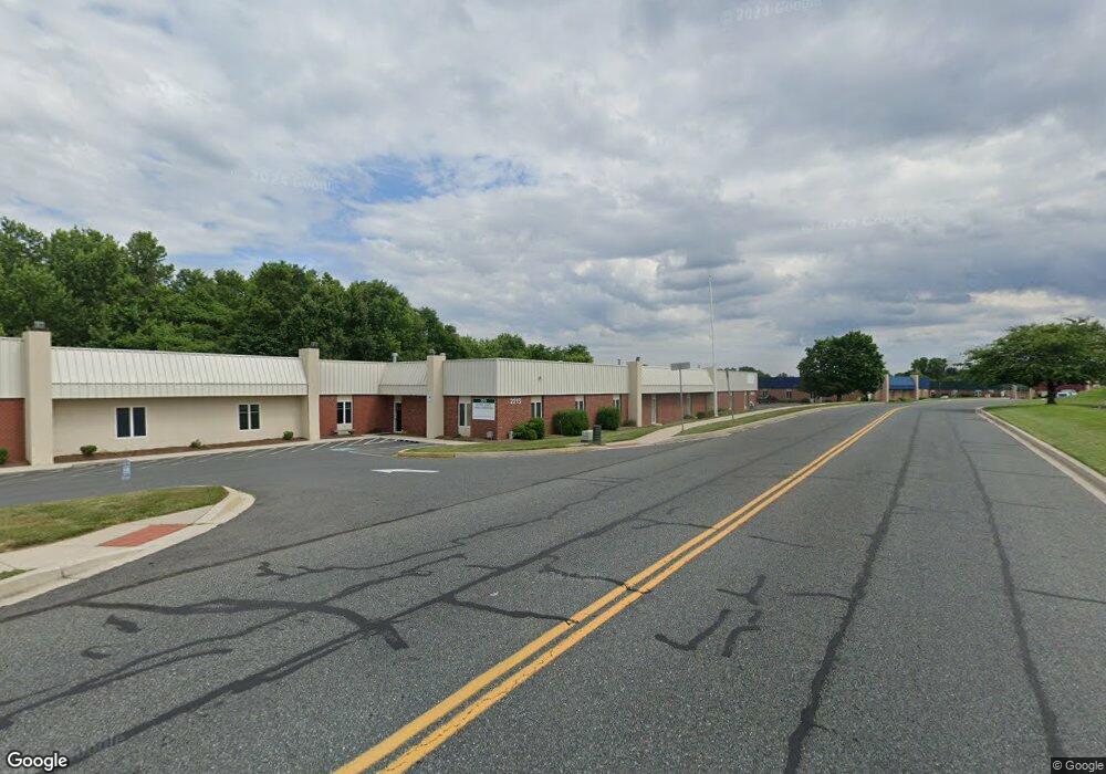
2213 Commerce Rd Forest Hill, MD 21050
Estimated Value: $3,220,232
--
Bed
--
Bath
28,544
Sq Ft
$113/Sq Ft
Est. Value
About This Home
This home is located at 2213 Commerce Rd, Forest Hill, MD 21050 and is currently estimated at $3,220,232, approximately $112 per square foot. 2213 Commerce Rd is a home located in Harford County with nearby schools including Forest Hill Elementary School, North Harford Middle School, and North Harford High School.
Ownership History
Date
Name
Owned For
Owner Type
Purchase Details
Closed on
May 3, 2007
Sold by
Q&4 Llc
Bought by
Harford County Maryland
Current Estimated Value
Purchase Details
Closed on
Apr 30, 2007
Sold by
Q&4 Llc
Bought by
Harford County Maryland
Purchase Details
Closed on
May 4, 2000
Sold by
Robert Martin J
Bought by
Q & 4 Llc
Purchase Details
Closed on
Mar 21, 2000
Sold by
Forest Hill Industrial Airpark Inc
Bought by
Robert Martin J and Martin Mary M
Create a Home Valuation Report for This Property
The Home Valuation Report is an in-depth analysis detailing your home's value as well as a comparison with similar homes in the area
Home Values in the Area
Average Home Value in this Area
Purchase History
| Date | Buyer | Sale Price | Title Company |
|---|---|---|---|
| Harford County Maryland | $2,360,000 | -- | |
| Harford County Maryland | $2,360,000 | -- | |
| Q & 4 Llc | -- | -- | |
| Robert Martin J | -- | -- |
Source: Public Records
Tax History Compared to Growth
Tax History
| Year | Tax Paid | Tax Assessment Tax Assessment Total Assessment is a certain percentage of the fair market value that is determined by local assessors to be the total taxable value of land and additions on the property. | Land | Improvement |
|---|---|---|---|---|
| 2025 | -- | $2,685,300 | $838,500 | $1,846,800 |
| 2024 | -- | $2,645,467 | $0 | $0 |
| 2023 | -- | $2,605,633 | $0 | $0 |
| 2022 | $27,965 | $2,565,800 | $838,500 | $1,727,300 |
| 2021 | -- | $2,485,067 | $0 | $0 |
| 2020 | $26,814 | $2,404,333 | $0 | $0 |
| 2019 | $26,814 | $2,323,600 | $838,500 | $1,485,100 |
| 2018 | $26,572 | $2,323,600 | $838,500 | $1,485,100 |
| 2017 | $26,572 | $2,323,600 | $0 | $0 |
| 2016 | -- | $2,406,400 | $0 | $0 |
| 2015 | $25,549 | $2,348,967 | $0 | $0 |
| 2014 | $25,549 | $2,291,533 | $0 | $0 |
Source: Public Records
Map
Nearby Homes
- 332 Ponfield Rd E
- 310 Willrich Cir
- 2139 Mardic Dr
- 311 Willrich Cir Unit G
- 2103 Mardic Dr
- 2151 Sewanee Dr
- 218 Aster Ln
- 253 Trudy Ct
- 430 Underwood Cir
- 430 Underwood Ln
- 2040 Colgate Cir
- 1817 Rock Spring Rd
- 1710 Chrisara Ct
- 1702 Rich Way Unit 2C
- 209 Christopher Rd
- 1713 Landmark Dr Unit 1L
- 1405 Kahoe Rd
- 105 Sunshine Ct Unit G
- 1700 Landmark Dr Unit 1M
- 1420 Roman Ridge Way
- 2211 Commerce Rd
- 2217 Commerce Rd
- 2220 Commerce Rd
- 2216 Commerce Rd
- 319 Ponfield Rd W
- 317 Ponfield Rd W
- 315 Ponfield Rd W
- 305 Ponfield Rd W
- 313 Ponfield Rd W
- 321 Ponfield Rd W
- 307 Ponfield Rd W
- 311 Ponfield Rd W
- 309 Ponfield Rd W
- 323 Ponfield Rd W
- 325 Ponfield Rd W
- 303 Ponfield Rd W
- 327 Ponfield Rd W
- 138 Industry Ln
- 329 Ponfield Rd W
- 301 Ponfield Rd W