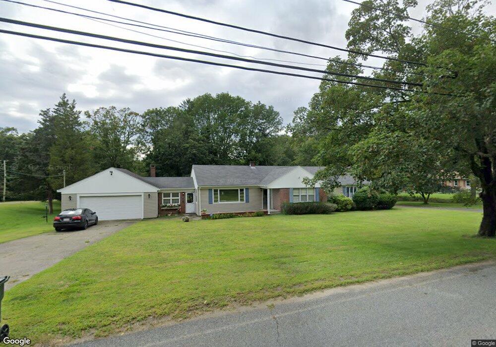
222 Blossom Rd Westport, MA 02790
Estimated Value: $86,183
4
Beds
--
Bath
2,286
Sq Ft
$38/Sq Ft
Est. Value
About This Home
This home is located at 222 Blossom Rd, Westport, MA 02790 and is currently estimated at $86,183, approximately $37 per square foot. 222 Blossom Rd is a home located in Bristol County with nearby schools including Alice A. Macomber Primary School, Westport Elementary School, and Westport Middle-High School.
Ownership History
Date
Name
Owned For
Owner Type
Purchase Details
Closed on
May 26, 2011
Sold by
Gendreau Leanna G
Bought by
Gendreau Ft and Gendreau Leanna G
Current Estimated Value
Purchase Details
Closed on
Oct 15, 2009
Sold by
Gendreau Normand E
Bought by
Gendreau Leanna G
Purchase Details
Closed on
Oct 5, 2009
Sold by
Gendreau Normand E
Bought by
Gendreau Leanna G
Purchase Details
Closed on
Dec 3, 1991
Sold by
Gendreau Normand and Gendreau Leanna G
Bought by
Ponte David and Ponte Nancy
Create a Home Valuation Report for This Property
The Home Valuation Report is an in-depth analysis detailing your home's value as well as a comparison with similar homes in the area
Home Values in the Area
Average Home Value in this Area
Purchase History
| Date | Buyer | Sale Price | Title Company |
|---|---|---|---|
| Gendreau Ft | -- | -- | |
| Gendreau Leanna G | -- | -- | |
| Norman | -- | -- | |
| Gendreau Leanna G | -- | -- | |
| Gendreau Normand E | -- | -- | |
| Ponte David | $20,000 | -- |
Source: Public Records
Tax History Compared to Growth
Tax History
| Year | Tax Paid | Tax Assessment Tax Assessment Total Assessment is a certain percentage of the fair market value that is determined by local assessors to be the total taxable value of land and additions on the property. | Land | Improvement |
|---|---|---|---|---|
| 2025 | $19 | $1,700 | $1,700 | $0 |
| 2024 | $20 | $1,700 | $1,700 | $0 |
| 2023 | $4,634 | $2,000 | $2,000 | $0 |
| 2022 | $25 | $2,000 | $2,000 | $0 |
| 2021 | $28 | $2,000 | $2,000 | $0 |
| 2020 | $29 | $2,000 | $2,000 | $0 |
| 2019 | $29 | $2,000 | $2,000 | $0 |
| 2018 | $4,331 | $2,000 | $2,000 | $0 |
| 2017 | $28 | $2,000 | $2,000 | $0 |
| 2016 | $27 | $2,000 | $2,000 | $0 |
| 2015 | $26 | $2,000 | $2,000 | $0 |
| 2014 | $25 | $2,000 | $2,000 | $0 |
Source: Public Records
Map
Nearby Homes
- 128 Old Bedford Rd
- 3 Diane Way
- 125 Angell St
- 33 William St
- 34 Alsop St
- 85 Reney St
- 6 Beaulieu St
- 25 Beaulieu St
- 89 Lafayette St
- 219 Earle St Unit 3
- 217 Earle St Unit 2
- 215 Earle St Unit 1
- 172 Earle St
- 37 Eaton St
- 44 Fenmore St
- 1792 Pleasant St Unit 1808
- 0 Rich St
- 1796 Locust St
- 168 Windsor St
- 9 Register Ave