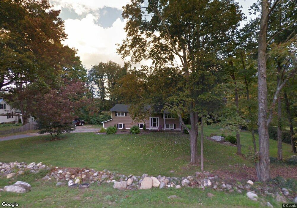
222 Whetstone Rd Harwinton, CT 06791
Estimated Value: $344,000 - $398,000
3
Beds
2
Baths
1,200
Sq Ft
$305/Sq Ft
Est. Value
About This Home
This home is located at 222 Whetstone Rd, Harwinton, CT 06791 and is currently estimated at $365,748, approximately $304 per square foot. 222 Whetstone Rd is a home located in Litchfield County with nearby schools including Harwinton Consolidated School, Har-Bur Middle School, and Lewis S. Mills High School.
Ownership History
Date
Name
Owned For
Owner Type
Purchase Details
Closed on
Oct 4, 1996
Sold by
Barnes Thomas E and Barnes Hie Chyare L
Bought by
Smail David and Abbatello Stephanie
Current Estimated Value
Purchase Details
Closed on
Oct 20, 1994
Sold by
Silliman John W and Silliman Barbara R
Bought by
Barnes Thomas E and Barnes Lie Chyau L
Create a Home Valuation Report for This Property
The Home Valuation Report is an in-depth analysis detailing your home's value as well as a comparison with similar homes in the area
Home Values in the Area
Average Home Value in this Area
Purchase History
| Date | Buyer | Sale Price | Title Company |
|---|---|---|---|
| Smail David | $126,000 | -- | |
| Smail David | $126,000 | -- | |
| Barnes Thomas E | $130,000 | -- | |
| Barnes Thomas E | $130,000 | -- |
Source: Public Records
Mortgage History
| Date | Status | Borrower | Loan Amount |
|---|---|---|---|
| Closed | Barnes Thomas E | $10,000 | |
| Open | Barnes Thomas E | $107,000 | |
| Closed | Barnes Thomas E | $120,000 |
Source: Public Records
Tax History Compared to Growth
Tax History
| Year | Tax Paid | Tax Assessment Tax Assessment Total Assessment is a certain percentage of the fair market value that is determined by local assessors to be the total taxable value of land and additions on the property. | Land | Improvement |
|---|---|---|---|---|
| 2025 | $4,366 | $189,820 | $60,520 | $129,300 |
| 2024 | $4,347 | $189,820 | $60,520 | $129,300 |
| 2023 | $3,941 | $134,950 | $43,230 | $91,720 |
| 2022 | $3,846 | $134,950 | $43,230 | $91,720 |
| 2021 | $3,873 | $134,950 | $43,230 | $91,720 |
| 2020 | $3,779 | $134,950 | $43,230 | $91,720 |
| 2019 | $3,779 | $134,950 | $43,230 | $91,720 |
| 2018 | $3,704 | $132,270 | $46,730 | $85,540 |
| 2017 | $3,677 | $132,270 | $46,730 | $85,540 |
| 2016 | $3,677 | $132,270 | $46,730 | $85,540 |
| 2015 | $3,611 | $132,270 | $46,730 | $85,540 |
| 2014 | $3,558 | $132,270 | $46,730 | $85,540 |
Source: Public Records
Map
Nearby Homes
- 28 Lily Pond Rd
- 21 South Rd
- 183 Wildcat Hill Rd
- 83 Shingle Mill Rd
- 25 Plymouth Rd
- 39 Orchard Hill Rd
- 448 Litchfield Rd
- Lot 2 Birch Hill Rd
- 164 Birge Park Rd
- 0 Campville Hill Rd
- 74 Pine Ridge Dr
- 530 Wildcat Hill Rd
- 544 Litchfield Rd
- 604 Wildcat Hill Rd
- 12 Break Maiden Ln
- 29 Branch Rd
- 9 Steeple Chase Rd
- 172 Pierce St
- 65 Oak Meadow Ln Unit 65
- 21 Oak Meadow Ln
- 3 Delay Rd
- 221 Whetstone Rd
- 000 Delay Rd
- 227 Whetstone Rd
- 216 Whetstone Rd
- 202 Whetstone Rd
- 156 Swimming Hole Rd
- 192 Whetstone Rd
- 237 Whetstone Rd
- 19 Delay Rd
- 18 Delay Rd
- 148 Swimming Hole Rd
- 145 Swimming Hole Rd
- 244 Whetstone Rd
- 138 Swimming Hole Rd
- 25 Delay Rd
- 135 Swimming Hole Rd
- 31 Delay Rd
- 125 Swimming Hole Rd
- 252 Whetstone Rd