222 Winchester Ln Weatherford, TX 76085
Estimated Value: $548,000 - $671,000
--
Bed
--
Bath
2,618
Sq Ft
$226/Sq Ft
Est. Value
About This Home
This home is located at 222 Winchester Ln, Weatherford, TX 76085 and is currently estimated at $591,625, approximately $225 per square foot. 222 Winchester Ln is a home located in Parker County with nearby schools including Silver Creek Elementary School, Azle Elementary School, and Azle Junior High School.
Ownership History
Date
Name
Owned For
Owner Type
Purchase Details
Closed on
Feb 28, 2006
Sold by
Pittsinger Donnie and Pittsinger Paula
Bought by
Choate Roy E and Choate Shannon R
Current Estimated Value
Home Financials for this Owner
Home Financials are based on the most recent Mortgage that was taken out on this home.
Original Mortgage
$216,650
Outstanding Balance
$121,572
Interest Rate
6.05%
Mortgage Type
VA
Estimated Equity
$470,053
Purchase Details
Closed on
Jan 1, 1901
Bought by
Choate Roy E and Choate Shannon R
Create a Home Valuation Report for This Property
The Home Valuation Report is an in-depth analysis detailing your home's value as well as a comparison with similar homes in the area
Home Values in the Area
Average Home Value in this Area
Purchase History
| Date | Buyer | Sale Price | Title Company |
|---|---|---|---|
| Choate Roy E | -- | -- | |
| Choate Roy E | -- | Rtc | |
| Choate Roy E | -- | -- |
Source: Public Records
Mortgage History
| Date | Status | Borrower | Loan Amount |
|---|---|---|---|
| Open | Choate Roy E | $216,650 |
Source: Public Records
Tax History Compared to Growth
Tax History
| Year | Tax Paid | Tax Assessment Tax Assessment Total Assessment is a certain percentage of the fair market value that is determined by local assessors to be the total taxable value of land and additions on the property. | Land | Improvement |
|---|---|---|---|---|
| 2025 | -- | $520,490 | $132,190 | $388,300 |
| 2024 | -- | $485,130 | $132,190 | $352,940 |
| 2023 | $5,853 | $363,890 | $0 | $0 |
| 2022 | $6,121 | $348,910 | $75,330 | $273,580 |
| 2021 | $5,831 | $348,910 | $75,330 | $273,580 |
| 2020 | $5,272 | $273,400 | $33,750 | $239,650 |
| 2019 | $5,140 | $273,400 | $33,750 | $239,650 |
| 2018 | $4,687 | $228,620 | $33,750 | $194,870 |
| 2017 | $4,466 | $228,620 | $33,750 | $194,870 |
| 2016 | $5,075 | $259,790 | $33,750 | $226,040 |
| 2015 | $1,871 | $259,790 | $33,750 | $226,040 |
| 2014 | $4,873 | $259,570 | $33,750 | $225,820 |
Source: Public Records
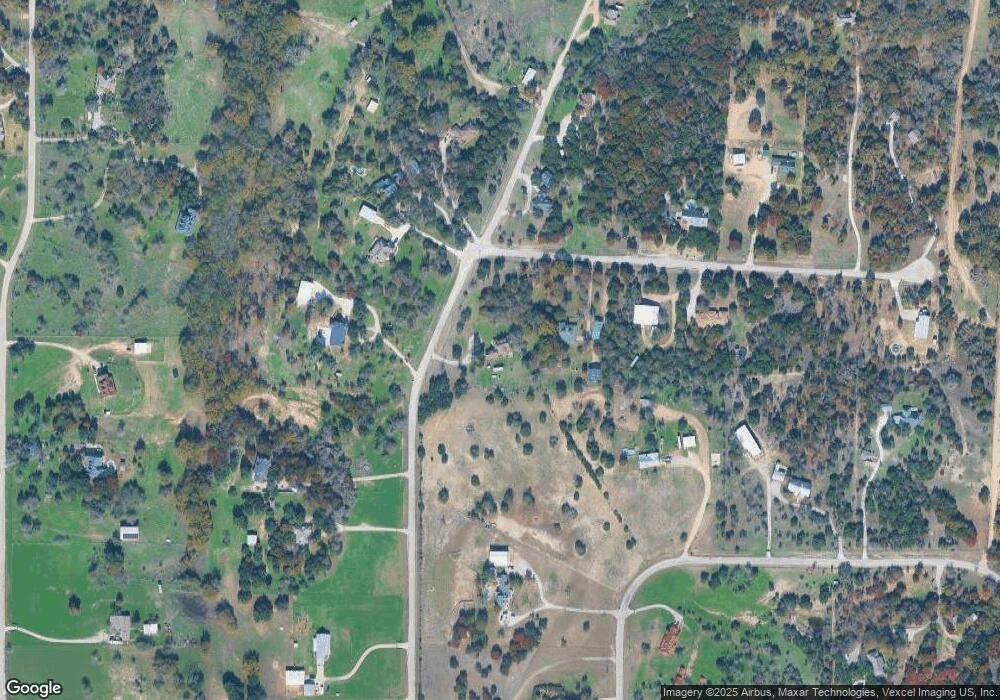
Map
Nearby Homes
- 7388 Wilderness Way
- 7220 Tucker Dr
- 6550 Veal Station Rd
- Vista Plan at Windmill Creeks
- Stockyard Plan at Windmill Creeks
- Meadow Plan at Windmill Creeks
- Canyon Plan at Windmill Creeks
- 204 Tankhouse Terrace
- 1057 Silver Sage Trail
- 1050 Silver Sage Trail
- 1046 Silver Sage Trail
- 405 Wind Pump Alley
- 4420 Veal Station Rd
- 559 Aermotor Loop
- 560 Aermotor Loop
- 1106 Silver Sage Trail
- 1033 Silver Sage Trail
- 128 Fan Mill Trail
- 1024 Silver Sage Trail
- 132 Fan Mill Trail
- 306 Remington Ct
- 2.5 AC Remington Ct
- 233 Winchester Ln
- 260 Winchester Ln
- 215 Winchester Ln
- 7364 Wilderness Way
- 243 Winchester Ln
- 324 Remington Ct
- 201 Winchester Ln
- 317 Remington Ct
- 7374 Wilderness Way
- 272 Winchester Ln
- 187 Winchester Ln
- 281 Winchester Ln
- 7358 Wilderness Way
- 7375 Wilderness Way
- 196 Remington Ln
- 327 Remington Ct
- 163 Winchester Ln
- 176 Remington Ln