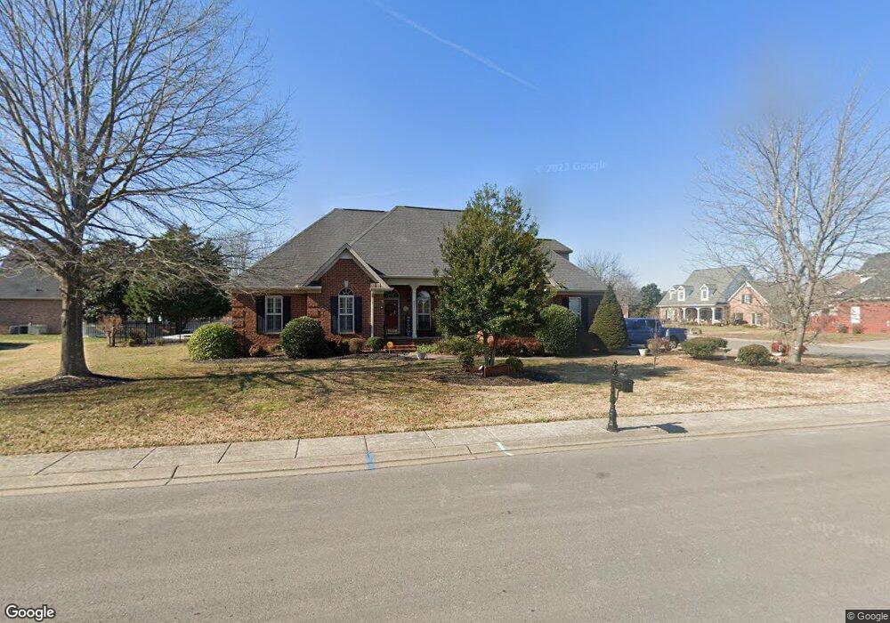
2221 Westwood Dr Murfreesboro, TN 37130
Estimated Value: $556,533 - $678,000
--
Bed
4
Baths
2,405
Sq Ft
$246/Sq Ft
Est. Value
About This Home
This home is located at 2221 Westwood Dr, Murfreesboro, TN 37130 and is currently estimated at $590,633, approximately $245 per square foot. 2221 Westwood Dr is a home located in Rutherford County with nearby schools including John Pittard Elementary School, Oakland Middle School, and Oakland High School.
Ownership History
Date
Name
Owned For
Owner Type
Purchase Details
Closed on
Oct 10, 2001
Sold by
Francis and Jama
Bought by
Horton Marshal D and Horton Susan L
Current Estimated Value
Home Financials for this Owner
Home Financials are based on the most recent Mortgage that was taken out on this home.
Original Mortgage
$229,491
Outstanding Balance
$89,700
Interest Rate
6.87%
Estimated Equity
$500,933
Create a Home Valuation Report for This Property
The Home Valuation Report is an in-depth analysis detailing your home's value as well as a comparison with similar homes in the area
Home Values in the Area
Average Home Value in this Area
Purchase History
| Date | Buyer | Sale Price | Title Company |
|---|---|---|---|
| Horton Marshal D | $234,300 | -- |
Source: Public Records
Mortgage History
| Date | Status | Borrower | Loan Amount |
|---|---|---|---|
| Open | Horton Marshal D | $229,491 |
Source: Public Records
Tax History Compared to Growth
Tax History
| Year | Tax Paid | Tax Assessment Tax Assessment Total Assessment is a certain percentage of the fair market value that is determined by local assessors to be the total taxable value of land and additions on the property. | Land | Improvement |
|---|---|---|---|---|
| 2025 | $3,629 | $128,300 | $16,250 | $112,050 |
| 2024 | $3,629 | $128,300 | $16,250 | $112,050 |
| 2023 | $2,142 | $114,175 | $16,250 | $97,925 |
| 2022 | $1,845 | $114,175 | $16,250 | $97,925 |
| 2021 | $1,838 | $82,825 | $16,250 | $66,575 |
| 2020 | $1,838 | $82,825 | $16,250 | $66,575 |
| 2019 | $1,838 | $82,825 | $16,250 | $66,575 |
| 2018 | $2,525 | $82,825 | $0 | $0 |
| 2017 | $2,616 | $67,300 | $0 | $0 |
| 2016 | $2,616 | $67,300 | $0 | $0 |
| 2015 | $2,616 | $67,300 | $0 | $0 |
| 2014 | $1,674 | $67,300 | $0 | $0 |
| 2013 | -- | $67,975 | $0 | $0 |
Source: Public Records
Map
Nearby Homes
- 1207 Mullberry Ct
- 1504 Winterberry Dr
- 3017 Winterberry Dr
- 3014 Winterberry Dr
- 2243 Northwoods Dr
- 1445 Bradberry Dr
- 1728 Shagbark Trail
- 1906 Mosaic Trail
- 2342 N Tennessee Blvd Unit 705
- 2342 N Tennessee Blvd Unit 1203
- 2342 N Tennessee Blvd Unit 1403
- 2342 N Tennessee Blvd Unit 1503
- 2342 N Tennessee Blvd Unit 104
- 1325 E Northfield Blvd
- 1512 Mirabella Way
- 1126 E Northfield Blvd
- 1430 Avellino Cir
- 1136 E Northfield Blvd
- 1135 E Northfield Blvd
- 1409 E Northfield Blvd
- 1212 Lenox Cove
- 2217 Westwood Dr
- 1207 Whitworth Cove
- 2224 Westwood Dr
- 2229 Westwood Dr
- 2228 Westwood Dr
- 1208 Lenox Cove
- 2220 Westwood Dr
- 1209 Lenox Cove
- 2232 Westwood Dr
- 1203 Whitworth Cove
- 1205 Lenox Cove
- 2237 Westwood Dr
- 2213 Westwood Dr
- 1206 Wheatley Cove
- 2236 Westwood Dr
- 2228 Alexander Blvd
- 1511 Bradberry Dr
- 1206 Whitworth Cove
- 1302 Bayberry Ct