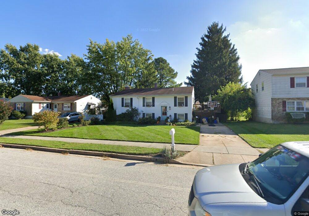
223 Bond Ave Reisterstown, MD 21136
Estimated Value: $273,000 - $437,000
--
Bed
2
Baths
1,120
Sq Ft
$316/Sq Ft
Est. Value
About This Home
This home is located at 223 Bond Ave, Reisterstown, MD 21136 and is currently estimated at $353,779, approximately $315 per square foot. 223 Bond Ave is a home located in Baltimore County with nearby schools including Reisterstown Elementary, Franklin Middle, and Franklin High.
Ownership History
Date
Name
Owned For
Owner Type
Purchase Details
Closed on
Jul 31, 2018
Sold by
Skelton Rose Marie and The Estate Of Chares W Gehlich
Bought by
Chase Kathleem M and Chase Matthew S
Current Estimated Value
Home Financials for this Owner
Home Financials are based on the most recent Mortgage that was taken out on this home.
Original Mortgage
$244,859
Outstanding Balance
$212,650
Interest Rate
4.5%
Mortgage Type
New Conventional
Estimated Equity
$141,129
Purchase Details
Closed on
Sep 19, 1966
Sold by
Wheeler Holding Inc
Bought by
Gehlich Charles W and Gehlich Anne T
Create a Home Valuation Report for This Property
The Home Valuation Report is an in-depth analysis detailing your home's value as well as a comparison with similar homes in the area
Home Values in the Area
Average Home Value in this Area
Purchase History
| Date | Buyer | Sale Price | Title Company |
|---|---|---|---|
| Chase Kathleem M | $179,000 | None Available | |
| Gehlich Charles W | $16,800 | -- |
Source: Public Records
Mortgage History
| Date | Status | Borrower | Loan Amount |
|---|---|---|---|
| Open | Chase Kathleem M | $244,859 |
Source: Public Records
Tax History Compared to Growth
Tax History
| Year | Tax Paid | Tax Assessment Tax Assessment Total Assessment is a certain percentage of the fair market value that is determined by local assessors to be the total taxable value of land and additions on the property. | Land | Improvement |
|---|---|---|---|---|
| 2025 | $3,709 | $270,067 | -- | -- |
| 2024 | $3,709 | $247,000 | $51,600 | $195,400 |
| 2023 | $1,797 | $233,500 | $0 | $0 |
| 2022 | $3,353 | $220,000 | $0 | $0 |
| 2021 | $2,906 | $206,500 | $51,600 | $154,900 |
| 2020 | $3,006 | $199,400 | $0 | $0 |
| 2019 | $2,331 | $192,300 | $0 | $0 |
| 2018 | $2,752 | $185,200 | $51,600 | $133,600 |
| 2017 | $2,597 | $179,533 | $0 | $0 |
| 2016 | $2,633 | $173,867 | $0 | $0 |
| 2015 | $2,633 | $168,200 | $0 | $0 |
| 2014 | $2,633 | $168,200 | $0 | $0 |
Source: Public Records
Map
Nearby Homes
- 3 Meadow Mist Ct
- 15 Gloucester Ct
- 65A Bond Ave
- 225 Highmeadow Rd
- 120 Lamport Rd
- 223 New Ave
- 10 Pennyborough Ct
- 259 E Chatsworth Ave
- 10 Simpson Ct
- 12 Greensborough Rd
- 13 Bellinger Ct
- 10 Greensborough Rd
- 611 Brickston Rd
- 215 Greenview Ave
- 1 Brampton Ct
- 12314 Bonfire Dr
- 7 Putman Ct
- 341 Central Ave
- 123 Glyndon Trace Dr
- 648 Glynock Place