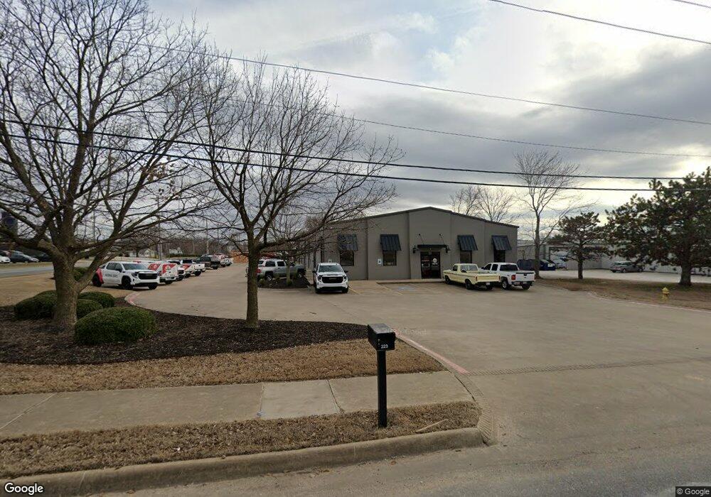
223 E Monroe Ave Lowell, AR 72745
Estimated Value: $1,205,459
--
Bed
--
Bath
9,871
Sq Ft
$122/Sq Ft
Est. Value
About This Home
This home is located at 223 E Monroe Ave, Lowell, AR 72745 and is currently estimated at $1,205,459, approximately $122 per square foot. 223 E Monroe Ave is a home located in Benton County with nearby schools including Lowell Elementary School, Kirksey Middle School, and Rogers High School.
Ownership History
Date
Name
Owned For
Owner Type
Purchase Details
Closed on
Oct 18, 2016
Sold by
Take Us For Granite Inc
Bought by
Ragar Holdings Llc
Current Estimated Value
Purchase Details
Closed on
Dec 31, 2003
Bought by
Take Us
Purchase Details
Closed on
Oct 16, 2003
Bought by
Simpson
Purchase Details
Closed on
Sep 19, 1996
Bought by
Hudson
Purchase Details
Closed on
Sep 11, 1996
Bought by
Coleman Carolyn J
Create a Home Valuation Report for This Property
The Home Valuation Report is an in-depth analysis detailing your home's value as well as a comparison with similar homes in the area
Home Values in the Area
Average Home Value in this Area
Purchase History
| Date | Buyer | Sale Price | Title Company |
|---|---|---|---|
| Ragar Holdings Llc | $680,000 | City Title & Closing Llc | |
| Take Us | -- | -- | |
| Simpson | $85,000 | -- | |
| Hudson | $73,000 | -- | |
| Coleman Carolyn J | -- | -- |
Source: Public Records
Tax History Compared to Growth
Tax History
| Year | Tax Paid | Tax Assessment Tax Assessment Total Assessment is a certain percentage of the fair market value that is determined by local assessors to be the total taxable value of land and additions on the property. | Land | Improvement |
|---|---|---|---|---|
| 2025 | $12,044 | $248,283 | $48,280 | $200,003 |
| 2024 | $10,227 | $248,283 | $48,280 | $200,003 |
| 2023 | $9,297 | $174,750 | $27,440 | $147,310 |
| 2022 | $10,188 | $174,750 | $27,440 | $147,310 |
| 2021 | $10,149 | $174,750 | $27,440 | $147,310 |
| 2020 | $9,526 | $163,680 | $27,650 | $136,030 |
| 2019 | $9,281 | $163,680 | $27,650 | $136,030 |
| 2018 | $9,281 | $163,680 | $27,650 | $136,030 |
| 2017 | $6,227 | $117,050 | $27,650 | $89,400 |
| 2016 | $6,227 | $117,050 | $27,650 | $89,400 |
| 2015 | $6,440 | $121,060 | $33,720 | $87,340 |
| 2014 | $6,440 | $121,060 | $33,720 | $87,340 |
Source: Public Records
Map
Nearby Homes
- 0 Presidential Dr Unit 1317772
- 1106 Calla Lily Ave
- 1114 Calla Lily Ave
- 1108 Calla Lily Ave
- 1134 Emilia Ave
- 1107 Calla Lily Ave
- 1117 Calla Lily Ave
- 1105 Daylily Ave
- 1113 Calla Lily Ave
- 1103 Daylily Ave
- 1102 Calla Lily Ave
- 1107 Daylily Ave
- 1123 Daylily Ave
- 1103 Calla Lily Ave
- 1110 Calla Lily Ave
- 1104 Calla Lily Ave
- 1117 Daylily Ave
- 1111 Calla Lily Ave
- 122 N Michael St
- 421 Crystal St
- 5.7 Ac S Lincoln St
- 22 N Lincoln St Unit LOT 22
- 107 S Lincoln St Unit C
- 107 S Lincoln St Unit C
- 5 Lincoln St
- 6.45Ac Lincoln St
- 0 Hwy 264 Or Monroe Ave Unit 673808
- 00 Hwy 264 Or Monroe Ave
- 0 0 Hwy 264 Or Monroe Ave Unit 685279
- 0 00hwy 264 Or Monroe Ave Unit 685275
- 0 00hwy 264 Or Monroe Ave Unit 691041
- 113 S Lincoln St
- 207 E Monroe Ave Unit A-E
- 207 E Monroe Ave
- 207 E Monroe Ave Unit D
- 212 Presidential Dr Unit E
- 313 E Monroe Ave
- 0 Presidential Dr Unit 635005
- 0 Presidential Dr Unit 635013
- 0 Presidential Dr Unit 635010