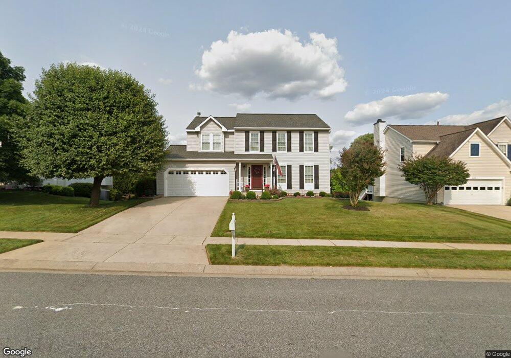
2231 Deadora Dr Bel Air, MD 21015
Estimated Value: $545,385 - $640,000
--
Bed
3
Baths
2,072
Sq Ft
$285/Sq Ft
Est. Value
About This Home
This home is located at 2231 Deadora Dr, Bel Air, MD 21015 and is currently estimated at $590,096, approximately $284 per square foot. 2231 Deadora Dr is a home located in Harford County with nearby schools including Emmorton Elementary School, Bel Air Middle School, and Bel Air High School.
Ownership History
Date
Name
Owned For
Owner Type
Purchase Details
Closed on
Sep 1, 2000
Sold by
Burton James F
Bought by
Lotman Richard and Lotman Linda
Current Estimated Value
Purchase Details
Closed on
Jul 29, 1992
Sold by
Ryland Group Inc The
Bought by
Burton James F
Home Financials for this Owner
Home Financials are based on the most recent Mortgage that was taken out on this home.
Original Mortgage
$155,250
Interest Rate
8.08%
Purchase Details
Closed on
Apr 16, 1992
Sold by
Country Walk Ltd
Bought by
Ryland Group Inc The
Create a Home Valuation Report for This Property
The Home Valuation Report is an in-depth analysis detailing your home's value as well as a comparison with similar homes in the area
Home Values in the Area
Average Home Value in this Area
Purchase History
| Date | Buyer | Sale Price | Title Company |
|---|---|---|---|
| Lotman Richard | $217,000 | -- | |
| Burton James F | $163,500 | -- | |
| Ryland Group Inc The | $45,500 | -- |
Source: Public Records
Mortgage History
| Date | Status | Borrower | Loan Amount |
|---|---|---|---|
| Previous Owner | Burton James F | $155,250 | |
| Closed | Lotman Richard | -- |
Source: Public Records
Tax History Compared to Growth
Tax History
| Year | Tax Paid | Tax Assessment Tax Assessment Total Assessment is a certain percentage of the fair market value that is determined by local assessors to be the total taxable value of land and additions on the property. | Land | Improvement |
|---|---|---|---|---|
| 2025 | $3,991 | $404,567 | $0 | $0 |
| 2024 | $3,991 | $376,133 | $0 | $0 |
| 2023 | $3,790 | $347,700 | $116,400 | $231,300 |
| 2022 | $1,850 | $339,433 | $0 | $0 |
| 2021 | $3,726 | $331,167 | $0 | $0 |
| 2020 | $3,726 | $322,900 | $116,400 | $206,500 |
| 2019 | $3,683 | $319,167 | $0 | $0 |
| 2018 | $3,607 | $315,433 | $0 | $0 |
| 2017 | $3,565 | $311,700 | $0 | $0 |
| 2016 | $140 | $305,967 | $0 | $0 |
| 2015 | $3,944 | $300,233 | $0 | $0 |
| 2014 | $3,944 | $294,500 | $0 | $0 |
Source: Public Records
Map
Nearby Homes
- 402 Tall Sycamore Ct
- 2300 Arthurs Woods Dr
- 407 Country Ridge Cir
- 2302 Bell's Tower Ct
- 2310 Bell's Tower Ct Unit 5
- Parkland Plan at Bell's Tower - Bell's Tower
- 2332 Darby Ct
- 403 Summershade Ct
- 202 Burkwood Ct
- 201 Burkwood Ct Unit 3B
- 0 W Wheel Rd Unit MDHR2045912
- 613 Berwick Ct
- 2007 Royal Fern Ct
- 300 Lothian Way Unit 202
- 400 Cahill Rd
- 2913 Islay Ct
- 2815 Lanarkshire Way
- 292 Maple Wreath Ct
- 285 Maple Wreath Ct
- 214 Maple Wreath Ct
- 2233 Deadora Dr
- 2229 Deadora Dr
- 408 Silver Beech Ct
- 2235 Deadora Dr
- 2227 Deadora Dr
- 409 Golden Oak Ct
- 2228 Deadora Dr
- 411 Golden Oak Ct
- 409 Silver Beech Ct
- 406 Silver Beech Ct
- 2226 Deadora Dr
- 2232 Deadora Dr
- 2225 Deadora Dr
- 2237 Deadora Dr
- 2224 Deadora Dr
- 407 Golden Oak Ct
- 2234 Deadora Dr
- 410 Golden Oak Ct
- 407 Silver Beech Ct