22313 Lost Branch Cir Ashburn, VA 20148
Estimated Value: $1,111,000 - $1,249,000
4
Beds
4
Baths
3,584
Sq Ft
$321/Sq Ft
Est. Value
About This Home
This home is located at 22313 Lost Branch Cir, Ashburn, VA 20148 and is currently estimated at $1,151,834, approximately $321 per square foot. 22313 Lost Branch Cir is a home located in Loudoun County with nearby schools including Moorefield Station Elementary School, Rock Ridge High School, and Golden Pond School - Golden Pond.
Ownership History
Date
Name
Owned For
Owner Type
Purchase Details
Closed on
Nov 30, 2007
Sold by
Richmond American Homes O
Bought by
Desai Chirag
Current Estimated Value
Home Financials for this Owner
Home Financials are based on the most recent Mortgage that was taken out on this home.
Original Mortgage
$575,620
Outstanding Balance
$367,720
Interest Rate
6.48%
Mortgage Type
New Conventional
Estimated Equity
$784,114
Create a Home Valuation Report for This Property
The Home Valuation Report is an in-depth analysis detailing your home's value as well as a comparison with similar homes in the area
Home Values in the Area
Average Home Value in this Area
Purchase History
| Date | Buyer | Sale Price | Title Company |
|---|---|---|---|
| Desai Chirag | $719,620 | -- |
Source: Public Records
Mortgage History
| Date | Status | Borrower | Loan Amount |
|---|---|---|---|
| Open | Desai Chirag | $575,620 |
Source: Public Records
Tax History Compared to Growth
Tax History
| Year | Tax Paid | Tax Assessment Tax Assessment Total Assessment is a certain percentage of the fair market value that is determined by local assessors to be the total taxable value of land and additions on the property. | Land | Improvement |
|---|---|---|---|---|
| 2025 | $8,744 | $1,086,210 | $323,500 | $762,710 |
| 2024 | $8,541 | $987,420 | $308,500 | $678,920 |
| 2023 | $8,192 | $936,230 | $308,500 | $627,730 |
| 2022 | $7,854 | $882,430 | $288,500 | $593,930 |
| 2021 | $7,288 | $743,680 | $243,500 | $500,180 |
| 2020 | $7,201 | $695,730 | $223,500 | $472,230 |
| 2019 | $6,942 | $664,270 | $198,500 | $465,770 |
| 2018 | $7,266 | $669,670 | $178,500 | $491,170 |
| 2017 | $7,003 | $622,450 | $178,500 | $443,950 |
| 2016 | $6,881 | $600,990 | $0 | $0 |
| 2015 | $7,067 | $444,160 | $0 | $444,160 |
| 2014 | $7,013 | $428,650 | $0 | $428,650 |
Source: Public Records
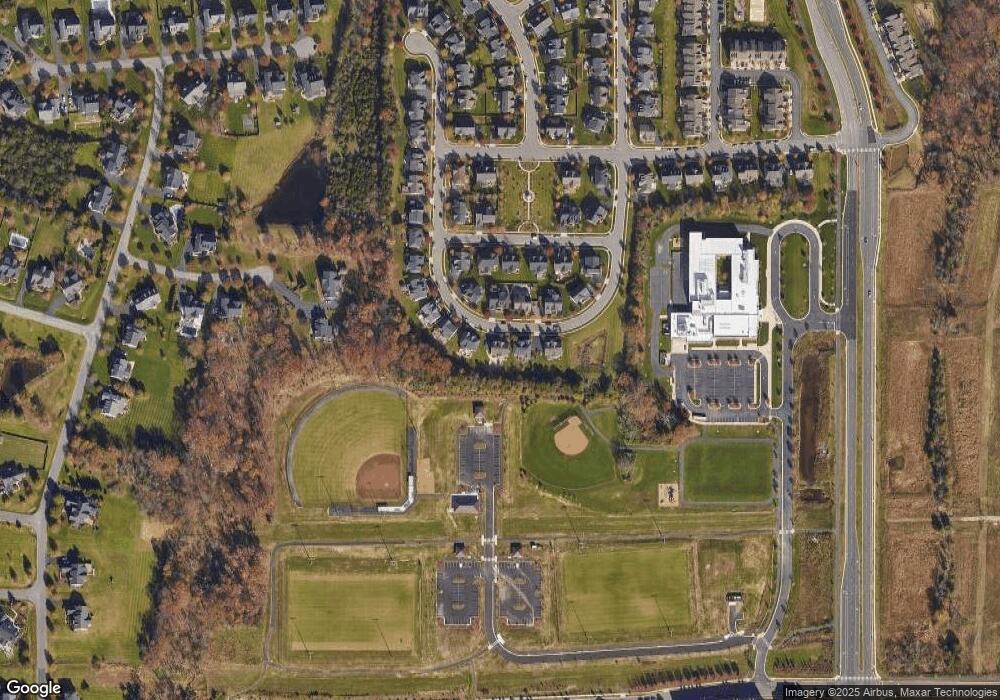
Map
Nearby Homes
- 43157 Clarendon Square
- 22275 Sims Terrace
- 43360 Southland St
- 43400 Apple Orchard Square
- 22613 Naugatuck Square
- 43361 Radford Divide Terrace
- 22477 Foundation Dr
- 22317 Seabring Terrace
- 43466 Grandmoore St
- 42904 Bittner Square
- 22260 Cornerstone Crossing Terrace
- 22528 Wilson View Terrace
- 22361 Roanoke Rise Terrace
- 22381 Roanoke Rise Terrace
- 22131 Little Mount Terrace
- 43437 Monroe Crest Terrace
- 43495 Monroe Crest Terrace
- 22141 Midmoore Dr
- 22143 Little Mount Terrace
- 22153 Midmoore Dr
- Lost Branch Cir
- 22309 Lost Branch Cir
- 22317 Lost Branch Cir
- 22312 Lost Branch Cir
- 22305 Lost Branch Cir
- 22321 Lost Branch Cir
- 22316 Lost Branch Cir
- 22304 Lost Branch Cir
- 22320 Lost Branch Cir
- 22301 Lost Branch Cir
- 43177 Longfeather Way
- 43173 Longfeather Way
- 22292 Lost Branch Cir
- 43181 Longfeather Way
- 22324 Lost Branch Cir
- 22297 Lost Branch Cir
- 43185 Longfeather Way
- 22293 Lost Branch Cir
- 22328 Lost Branch Cir
- 22289 Lost Branch Cir