2235 Oakwood Dr High Ridge, MO 63049
Estimated Value: $325,000 - $381,000
4
Beds
3
Baths
1,896
Sq Ft
$192/Sq Ft
Est. Value
About This Home
This home is located at 2235 Oakwood Dr, High Ridge, MO 63049 and is currently estimated at $363,281, approximately $191 per square foot. 2235 Oakwood Dr is a home located in Jefferson County with nearby schools including Northwest High School and Messenger Christian School.
Ownership History
Date
Name
Owned For
Owner Type
Purchase Details
Closed on
Feb 25, 2008
Sold by
Brown Michael D and Brown Glenna
Bought by
Johnson Alfred J and Johnson Tina M
Current Estimated Value
Home Financials for this Owner
Home Financials are based on the most recent Mortgage that was taken out on this home.
Original Mortgage
$150,320
Outstanding Balance
$92,916
Interest Rate
5.68%
Mortgage Type
Purchase Money Mortgage
Estimated Equity
$270,365
Create a Home Valuation Report for This Property
The Home Valuation Report is an in-depth analysis detailing your home's value as well as a comparison with similar homes in the area
Home Values in the Area
Average Home Value in this Area
Purchase History
| Date | Buyer | Sale Price | Title Company |
|---|---|---|---|
| Johnson Alfred J | -- | Commonwealth Land Title |
Source: Public Records
Mortgage History
| Date | Status | Borrower | Loan Amount |
|---|---|---|---|
| Open | Johnson Alfred J | $150,320 |
Source: Public Records
Tax History Compared to Growth
Tax History
| Year | Tax Paid | Tax Assessment Tax Assessment Total Assessment is a certain percentage of the fair market value that is determined by local assessors to be the total taxable value of land and additions on the property. | Land | Improvement |
|---|---|---|---|---|
| 2025 | $2,311 | $34,100 | $6,400 | $27,700 |
| 2024 | $2,311 | $32,000 | $6,400 | $25,600 |
| 2023 | $2,311 | $32,000 | $6,400 | $25,600 |
| 2022 | $2,300 | $32,000 | $6,400 | $25,600 |
| 2021 | $2,286 | $32,000 | $6,400 | $25,600 |
| 2020 | $2,151 | $29,400 | $5,900 | $23,500 |
| 2019 | $2,149 | $29,400 | $5,900 | $23,500 |
| 2018 | $2,177 | $29,400 | $5,900 | $23,500 |
| 2017 | $1,990 | $29,400 | $5,900 | $23,500 |
| 2016 | $1,816 | $26,600 | $5,900 | $20,700 |
| 2015 | $1,866 | $26,600 | $5,900 | $20,700 |
| 2013 | -- | $25,600 | $5,300 | $20,300 |
Source: Public Records
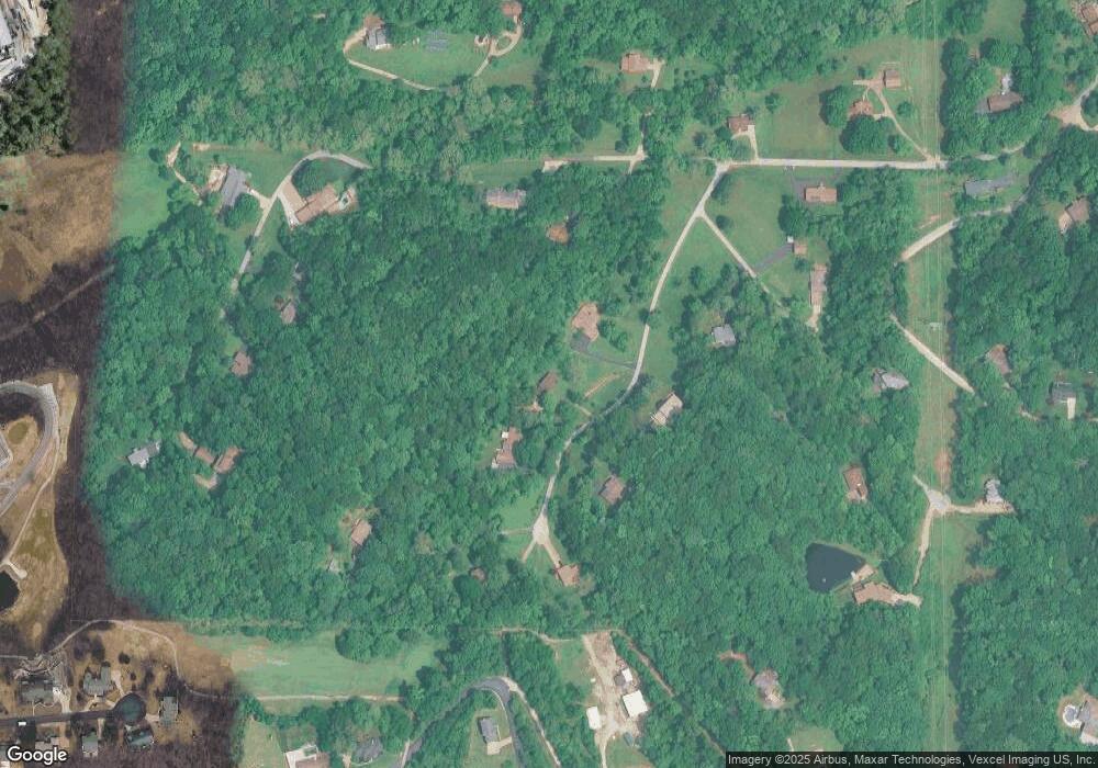
Map
Nearby Homes
- 1500 Gravois Rd
- 2240 Fairway
- 4316 Kings Acres Dr
- 2684 Carolyn Circle Dr
- 2373 Arkansas Dr
- 2301 Arkansas Dr
- 0 Mikel Ln
- 1641 S Golden Cir
- 2005 Valley Dr
- 1804 Debbie Dr
- 4856 E Golden Cir
- 172 Brandy Mill Cir Unit 4E
- 5050 Schumacher Rd
- 1275 Meadow Trail Ln
- 1095 Schumacher Rd
- 0 Glick Rd Unit MIS25042566
- 2141 Sunswept Ln
- 7 Crest Dr
- 2132 Ridgedale Dr
- TBD State Route 30
- 2255 Oakwood Dr
- 2201 Oakwood Dr
- 2230 Oakwood Dr
- 2250 Oakwood Dr
- 4700 Green Valley Dr
- 2185 Tara Heights Dr
- 0 Lot 34 Sugar Creek Farms Unit 22034765
- 2270 Oakwood Dr
- 4760 Green Valley Dr
- 2275 Oakwood Dr
- 2215 Tara Heights Dr
- 0TBB Oakwood-Vwc
- 4840 Green Valley Dr
- 2265 Oakwood Dr
- 2180 Tara Heights Dr
- 4820 Green Valley Dr
- 2245 Tara Heights Dr
- 4675 Green Valley Dr
- 4630 Green Valley Dr
- 4705 Green Valley Dr