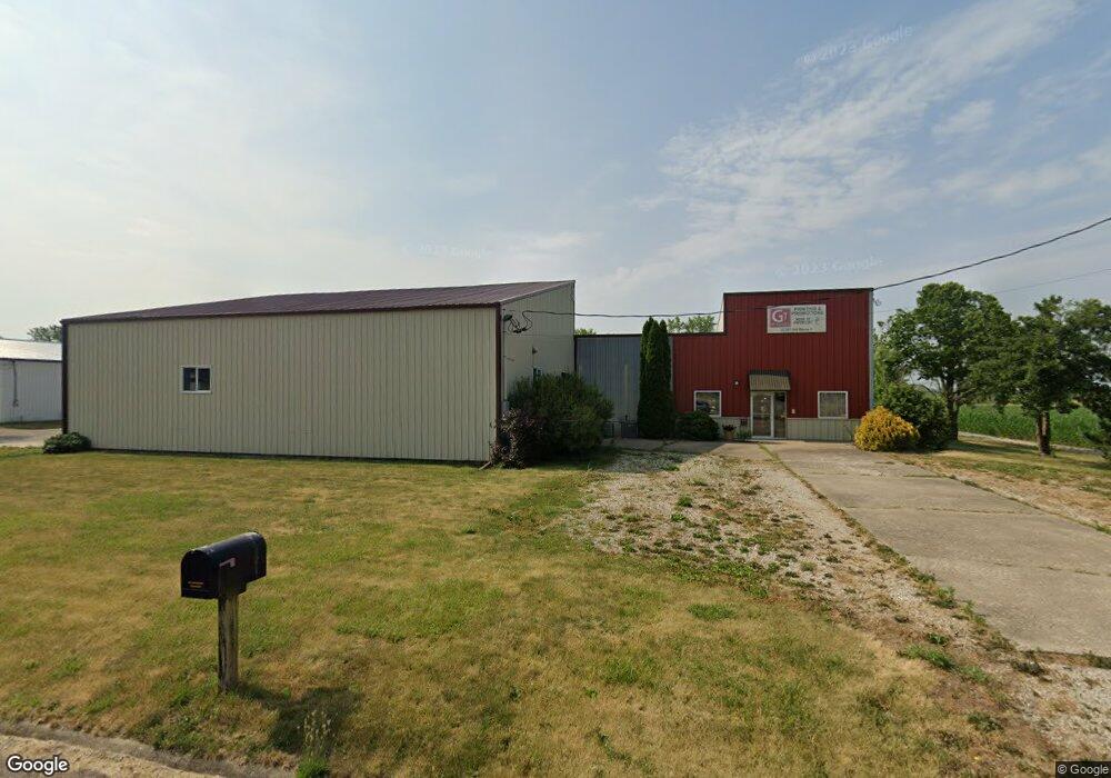
22387 Old Route 9 Tremont, IL 61568
--
Bed
--
Bath
5,754
Sq Ft
1
Acres
About This Home
This home is located at 22387 Old Route 9, Tremont, IL 61568. 22387 Old Route 9 is a home located in Tazewell County with nearby schools including Tremont Elementary School, Tremont Middle School, and Tremont High School.
Ownership History
Date
Name
Owned For
Owner Type
Purchase Details
Closed on
Oct 28, 2008
Sold by
The First National Bank In Tremont
Bought by
Gt Services Of Illinois Inc
Home Financials for this Owner
Home Financials are based on the most recent Mortgage that was taken out on this home.
Original Mortgage
$252,500
Interest Rate
5.73%
Mortgage Type
Future Advance Clause Open End Mortgage
Create a Home Valuation Report for This Property
The Home Valuation Report is an in-depth analysis detailing your home's value as well as a comparison with similar homes in the area
Home Values in the Area
Average Home Value in this Area
Purchase History
| Date | Buyer | Sale Price | Title Company |
|---|---|---|---|
| Gt Services Of Illinois Inc | $175,000 | None Available |
Source: Public Records
Mortgage History
| Date | Status | Borrower | Loan Amount |
|---|---|---|---|
| Closed | Gt Services Of Illinois Inc | $252,500 |
Source: Public Records
Tax History Compared to Growth
Tax History
| Year | Tax Paid | Tax Assessment Tax Assessment Total Assessment is a certain percentage of the fair market value that is determined by local assessors to be the total taxable value of land and additions on the property. | Land | Improvement |
|---|---|---|---|---|
| 2024 | $2,474 | $34,710 | $7,040 | $27,670 |
| 2023 | $2,474 | $31,860 | $6,460 | $25,400 |
| 2022 | $2,402 | $29,660 | $6,010 | $23,650 |
| 2021 | $2,332 | $28,520 | $5,780 | $22,740 |
| 2020 | $2,097 | $27,960 | $5,670 | $22,290 |
| 2019 | $2,098 | $27,960 | $5,670 | $22,290 |
| 2018 | $1,948 | $26,420 | $5,670 | $20,750 |
| 2017 | $1,748 | $24,110 | $3,070 | $21,040 |
| 2016 | $1,724 | $23,630 | $3,010 | $20,620 |
| 2015 | $1,680 | $0 | $0 | $0 |
| 2013 | $1,658 | $23,630 | $3,010 | $20,620 |
Source: Public Records
Map
Nearby Homes
- 313 W South St
- 316 N Locust St
- 0 Illinois 9
- 16810 Springfield Rd
- 116 Lost Creek Ct
- 5859 Broadway Rd
- 1920-1922 Mayflower Dr
- 1960-1962 Mayflower Dr
- 107 Lost Creek Ct
- 105 Royal Point Ct
- 5559 Broadway Rd
- 3858 Sunset Dr
- 2100 S 2nd Ave Unit 2100
- 2020 S 2nd Ave Unit 2020
- 10109 Arrow Rd
- 4851 Sheridan Rd
- 17902 Red Shale Hill Rd
- 305 Conaghan Dr
- 50 Brooke Cir Unit 50
- 13694 Egg Ranch Rd
- 22461 Illinois 9
- 22454 State Route 9
- 22454 State Route 9
- 201 N Hannibal St
- 508 W Pearl St
- 305 N Hannibal St
- 301 N Hannibal St
- 504 W Pearl St
- 309 N Hannibal St
- 313 N Hannibal St
- 506 W Pearl St
- 317 N Hannibal St
- 501 W Tazewell St
- 401 N Hannibal St
- 304 N Hannibal St
- 308 N Hannibal St
- 500 W Pearl St
- 405 N Hannibal St
- 312 N Hannibal St
- 316 N Hannibal St