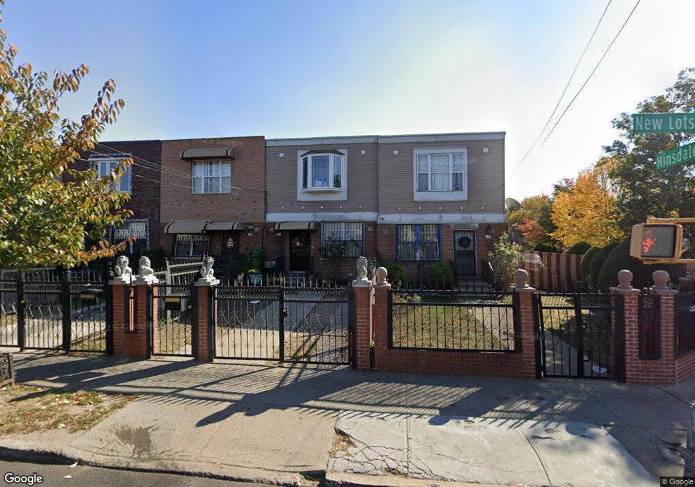
224 New Lots Ave Brooklyn, NY 11207
Brownsville NeighborhoodEstimated Value: $608,193 - $712,000
--
Bed
--
Bath
1,338
Sq Ft
$485/Sq Ft
Est. Value
About This Home
This home is located at 224 New Lots Ave, Brooklyn, NY 11207 and is currently estimated at $648,298, approximately $484 per square foot. 224 New Lots Ave is a home located in Kings County with nearby schools including P.S. 190 - Sheffield and CAMPA Charter School.
Ownership History
Date
Name
Owned For
Owner Type
Purchase Details
Closed on
May 12, 2004
Sold by
Nehemiah Housing Development Fund Compan
Bought by
Taylor-Aiken Doris
Current Estimated Value
Home Financials for this Owner
Home Financials are based on the most recent Mortgage that was taken out on this home.
Original Mortgage
$80,000
Interest Rate
5.88%
Mortgage Type
Purchase Money Mortgage
Create a Home Valuation Report for This Property
The Home Valuation Report is an in-depth analysis detailing your home's value as well as a comparison with similar homes in the area
Home Values in the Area
Average Home Value in this Area
Purchase History
| Date | Buyer | Sale Price | Title Company |
|---|---|---|---|
| Taylor-Aiken Doris | $105,000 | -- | |
| Taylor-Aiken Doris | $105,000 | -- |
Source: Public Records
Mortgage History
| Date | Status | Borrower | Loan Amount |
|---|---|---|---|
| Previous Owner | Taylor-Aiken Doris | $80,000 |
Source: Public Records
Tax History Compared to Growth
Tax History
| Year | Tax Paid | Tax Assessment Tax Assessment Total Assessment is a certain percentage of the fair market value that is determined by local assessors to be the total taxable value of land and additions on the property. | Land | Improvement |
|---|---|---|---|---|
| 2025 | $4,272 | $38,820 | $15,060 | $23,760 |
| 2024 | $4,272 | $33,300 | $15,060 | $18,240 |
| 2023 | $3,691 | $37,800 | $15,060 | $22,740 |
| 2022 | $2,582 | $33,480 | $15,060 | $18,420 |
| 2021 | $3,408 | $31,380 | $15,060 | $16,320 |
| 2020 | $1,555 | $28,140 | $15,060 | $13,080 |
| 2019 | $2,657 | $27,360 | $15,060 | $12,300 |
| 2018 | $2,093 | $21,480 | $10,644 | $10,836 |
| 2017 | $1,870 | $25,272 | $10,644 | $14,628 |
| 2016 | $1,631 | $24,336 | $9,708 | $14,628 |
| 2015 | $658 | $22,959 | $8,331 | $14,628 |
| 2014 | $658 | $21,660 | $7,032 | $14,628 |
Source: Public Records
Map
Nearby Homes
- 650 Williams Ave
- 660 Williams Ave Unit 142
- 589 Hinsdale St
- 584 Hinsdale St
- 610 Alabama Ave
- 606 Alabama Ave
- 442 Newport St
- 1755 Linden Blvd
- 1753 Linden Blvd
- 582 Williams Ave
- 578 Williams Ave
- 576 Williams Ave
- 541 Hinsdale St
- 1825 Linden Blvd
- 679 Georgia Ave
- 533 Snediker Ave
- 90 Louisiana Ave
- 494 Hegeman Ave
- 661 Sheffield Ave
- 667 Sheffield Ave
- 226 New Lots Ave
- 222 New Lots Ave
- 228 New Lots Ave
- 230 New Lots Ave
- 617 Hinsdale St
- 232 New Lots Ave
- 621 Hinsdale St
- 234 New Lots Ave
- 623 Hinsdale St
- 236 New Lots Ave
- 652 Williams Ave
- 220 New Lots Ave
- 625 Hinsdale St
- 238 New Lots Ave
- 654 Williams Ave
- 656 Williams Ave
- 627 Hinsdale St
- 214 New Lots Ave
- 244 New Lots Ave
- 658 Williams Ave