22533 53rd St NW Sunburg, MN 56289
Estimated Value: $523,000 - $709,074
--
Bed
--
Bath
2,780
Sq Ft
$218/Sq Ft
Est. Value
About This Home
This home is located at 22533 53rd St NW, Sunburg, MN 56289 and is currently estimated at $605,019, approximately $217 per square foot. 22533 53rd St NW is a home located in Kandiyohi County with nearby schools including Prairie Woods Elementary School, New London-Spicer Middle School, and New London-Spicer Senior High School.
Ownership History
Date
Name
Owned For
Owner Type
Purchase Details
Closed on
May 17, 2018
Sold by
Torgerson Dale and Torgerson Beth
Bought by
Vogt Myron and Vogt Mary
Current Estimated Value
Purchase Details
Closed on
Mar 30, 2007
Sold by
White Clayton M and White Rebecca
Bought by
Vogt Myron and Vogt Mary
Home Financials for this Owner
Home Financials are based on the most recent Mortgage that was taken out on this home.
Original Mortgage
$195,200
Interest Rate
6.25%
Mortgage Type
New Conventional
Create a Home Valuation Report for This Property
The Home Valuation Report is an in-depth analysis detailing your home's value as well as a comparison with similar homes in the area
Home Values in the Area
Average Home Value in this Area
Purchase History
| Date | Buyer | Sale Price | Title Company |
|---|---|---|---|
| Vogt Myron | -- | -- | |
| Vogt Myron | $244,000 | Alliance Title Company |
Source: Public Records
Mortgage History
| Date | Status | Borrower | Loan Amount |
|---|---|---|---|
| Previous Owner | Vogt Myron | $195,200 |
Source: Public Records
Tax History Compared to Growth
Tax History
| Year | Tax Paid | Tax Assessment Tax Assessment Total Assessment is a certain percentage of the fair market value that is determined by local assessors to be the total taxable value of land and additions on the property. | Land | Improvement |
|---|---|---|---|---|
| 2025 | $7,262 | $681,400 | $149,800 | $531,600 |
| 2024 | $6,792 | $634,400 | $131,100 | $503,300 |
| 2023 | $4,488 | $631,400 | $124,800 | $506,600 |
| 2022 | $4,496 | $440,200 | $124,800 | $315,400 |
| 2021 | $3,906 | $380,100 | $109,300 | $270,800 |
| 2020 | $4,026 | $363,500 | $109,300 | $254,200 |
| 2019 | $3,460 | $374,300 | $112,400 | $261,900 |
Source: Public Records
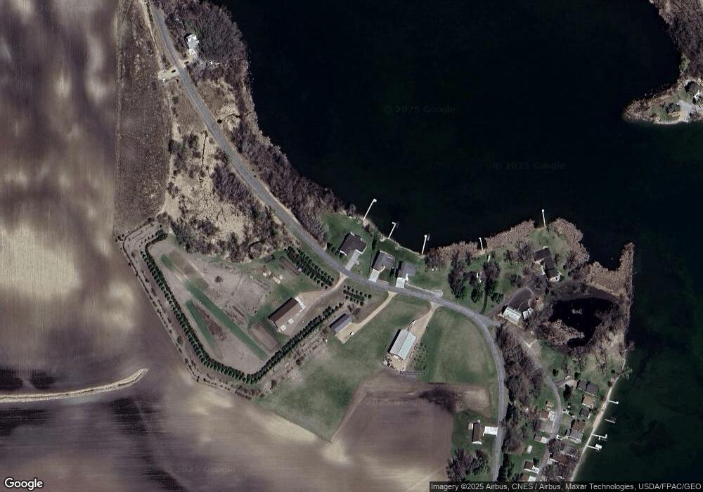
Map
Nearby Homes
- 3614 198th Ave NW
- 20983 72nd St NW
- 24175 County Road 5 NW
- 23508 County Road 1 NW
- 4916 189th Ave NW
- 24680 County Road 1 NW
- 23000 5th St NW
- 17216 County Road 5 NW
- 22869 5th St NW
- 870 S Andrew Dr NE
- 1122 S Andrew Dr NE
- 1245 137th Ave NW
- 25757 133rd St NW
- TBD Lot E Co Rd 40
- 13112 2nd St NE
- 311 131st Ave NE
- TBD Lot H Co Rd 40
- 13300 330th St
- 21631 Kandi-Swift Rd NW
- 122 Ridge Rd
- 21005 53rd St NW
- XXXX 53rd St NW
- 22491 53rd St NW
- xxxx 53rd St NE
- Xxx 53rd St NW
- 22447 53rd St NW
- 22534 53rd St NW
- 22470 53rd St NW
- 22446 53rd St NW
- 22405 53rd St NW
- 22152 53rd St NW
- 22361 53rd St NW
- 22311 53rd St NW
- 22165 53rd St NW
- 22165 53rd St NW
- 22151 53rd St NW
- 22151 53rd St NW
- 22605 53rd St NW
- 22201 53rd St NW
- 22191 53rd St NW