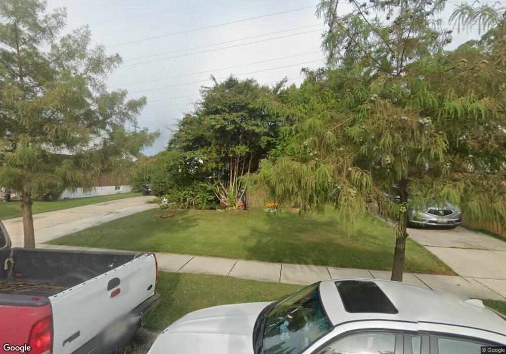
2256 Lewisdale Dr Hyattsville, MD 20783
Lewisdale NeighborhoodEstimated Value: $459,101 - $564,000
--
Bed
1
Bath
1,638
Sq Ft
$309/Sq Ft
Est. Value
About This Home
This home is located at 2256 Lewisdale Dr, Hyattsville, MD 20783 and is currently estimated at $505,525, approximately $308 per square foot. 2256 Lewisdale Dr is a home located in Prince George's County with nearby schools including Lewisdale Elementary School, Nicholas Orem Middle School, and Northwestern High School.
Ownership History
Date
Name
Owned For
Owner Type
Purchase Details
Closed on
Dec 28, 2005
Sold by
Coreas Jose E
Bought by
Coreas Jose E
Current Estimated Value
Purchase Details
Closed on
Oct 26, 2005
Sold by
Coreas Jose E
Bought by
Coreas Jose E
Purchase Details
Closed on
Aug 8, 2003
Sold by
Saratchandran Puthenveetil E
Bought by
Coreas Jose E and Etal Veronica B
Purchase Details
Closed on
Jul 8, 1986
Sold by
Lohr Paul R
Bought by
Saratchandran Puthenveetil E
Create a Home Valuation Report for This Property
The Home Valuation Report is an in-depth analysis detailing your home's value as well as a comparison with similar homes in the area
Home Values in the Area
Average Home Value in this Area
Purchase History
| Date | Buyer | Sale Price | Title Company |
|---|---|---|---|
| Coreas Jose E | -- | -- | |
| Coreas Jose E | -- | -- | |
| Coreas Jose E | $260,000 | -- | |
| Saratchandran Puthenveetil E | $82,000 | -- |
Source: Public Records
Tax History Compared to Growth
Tax History
| Year | Tax Paid | Tax Assessment Tax Assessment Total Assessment is a certain percentage of the fair market value that is determined by local assessors to be the total taxable value of land and additions on the property. | Land | Improvement |
|---|---|---|---|---|
| 2025 | $5,887 | $380,900 | -- | -- |
| 2024 | $5,887 | $369,300 | $110,400 | $258,900 |
| 2023 | $5,607 | $350,533 | $0 | $0 |
| 2022 | $5,328 | $331,767 | $0 | $0 |
| 2021 | $5,049 | $313,000 | $100,200 | $212,800 |
| 2020 | $4,851 | $299,667 | $0 | $0 |
| 2019 | $4,653 | $286,333 | $0 | $0 |
| 2018 | $4,455 | $273,000 | $75,200 | $197,800 |
| 2017 | $3,895 | $235,333 | $0 | $0 |
| 2016 | -- | $197,667 | $0 | $0 |
| 2015 | $3,067 | $160,000 | $0 | $0 |
| 2014 | $3,067 | $160,000 | $0 | $0 |
Source: Public Records
Map
Nearby Homes
- 7973 Riggs Rd Unit 8
- 7973 Riggs Rd Unit 2
- 7975 Riggs Rd Unit 7975-12
- 7916 Riggs Rd
- 7981 Riggs Rd Unit 2
- 7969 Riggs Rd Unit 9
- 7967 Riggs Rd Unit 7967-10
- 7401 18th Ave Unit 208
- 7983 Riggs Rd Unit 3
- 7985 Riggs Rd Unit 1
- 7917 18th Ave
- 7965 18th Ave
- 7402 211 18th Ave Unit 23
- 7971 18th Ave
- 1926 Lebanon St
- 2205 Calvert St
- 8109 Riggs Rd
- 8110 19th Place
- 1802 Lebanon St
- 1911 Merrimac Dr
- 2258 Lewisdale Dr
- 2254 Lewisdale Dr
- 2260 Lewisdale Dr
- 2252 Lewisdale Dr
- 2262 Lewisdale Dr
- 2255 Lewisdale Dr
- 2253 Lewisdale Dr
- 2257 Lewisdale Dr
- 2250 Lewisdale Dr
- 2251 Lewisdale Dr
- 2259 Lewisdale Dr
- 2264 Lewisdale Dr
- 2102 Fordham St
- 2261 Lewisdale Dr
- 2266 Lewisdale Dr
- 2252 Hannon St
- 2254 Hannon St
- 2256 Hannon St
- 2250 Hannon St
- 2263 Lewisdale Dr