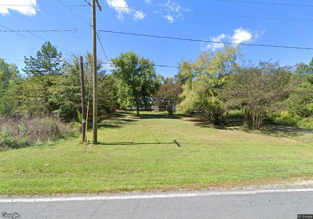
226 Boggs Rd Thomasville, NC 27360
Estimated Value: $147,000 - $208,943
3
Beds
2
Baths
1,344
Sq Ft
$142/Sq Ft
Est. Value
About This Home
This home is located at 226 Boggs Rd, Thomasville, NC 27360 and is currently estimated at $190,736, approximately $141 per square foot. 226 Boggs Rd is a home located in Davidson County with nearby schools including Pilot Elementary School, E. Lawson Brown Middle School, and East Davidson High School.
Ownership History
Date
Name
Owned For
Owner Type
Purchase Details
Closed on
Jul 13, 2005
Sold by
Tussey Patrick Roby and Whipple Lisa A
Bought by
Tussey Patrick Roby and Tussey Lisa A Whipple
Current Estimated Value
Home Financials for this Owner
Home Financials are based on the most recent Mortgage that was taken out on this home.
Original Mortgage
$93,600
Outstanding Balance
$48,481
Interest Rate
5.54%
Mortgage Type
New Conventional
Estimated Equity
$142,255
Purchase Details
Closed on
Jul 30, 2004
Sold by
Tussey Patrick Roby
Bought by
Tussey Patrick Roby
Create a Home Valuation Report for This Property
The Home Valuation Report is an in-depth analysis detailing your home's value as well as a comparison with similar homes in the area
Home Values in the Area
Average Home Value in this Area
Purchase History
| Date | Buyer | Sale Price | Title Company |
|---|---|---|---|
| Tussey Patrick Roby | -- | None Available | |
| Tussey Patrick Roby | -- | -- | |
| Tussey Patrick Roby | $74,500 | -- |
Source: Public Records
Mortgage History
| Date | Status | Borrower | Loan Amount |
|---|---|---|---|
| Open | Tussey Patrick Roby | $93,600 |
Source: Public Records
Tax History Compared to Growth
Tax History
| Year | Tax Paid | Tax Assessment Tax Assessment Total Assessment is a certain percentage of the fair market value that is determined by local assessors to be the total taxable value of land and additions on the property. | Land | Improvement |
|---|---|---|---|---|
| 2025 | $766 | $120,510 | $0 | $0 |
| 2024 | $926 | $145,810 | $0 | $0 |
| 2023 | $844 | $135,050 | $0 | $0 |
| 2022 | $831 | $135,050 | $0 | $0 |
| 2021 | $831 | $135,050 | $0 | $0 |
| 2020 | $754 | $122,530 | $0 | $0 |
| 2019 | $766 | $122,530 | $0 | $0 |
| 2018 | $766 | $122,530 | $0 | $0 |
| 2017 | $766 | $122,530 | $0 | $0 |
| 2016 | $766 | $122,530 | $0 | $0 |
| 2015 | $766 | $122,530 | $0 | $0 |
| 2014 | $651 | $104,190 | $0 | $0 |
Source: Public Records
Map
Nearby Homes
- 1052 Johnsontown Rd
- 0 Hillcrest Dr Unit 90 CAR4240649
- 170 Garrett Ln
- 1125 Hillcrest Dr
- 190 Rebecca Dr
- 186 Rebecca Dr
- 1269 Johnsontown Rd
- 0 Coral Ln
- 171 Stemp Everhart Rd
- 106 Kincemac Dr
- 0000 Old Lexington Rd
- 1000 Stemp Everhart Rd
- 111 Linden Dr
- 109 Linden Dr
- 115 Linden Dr
- 113 Linden Dr
- 116 Linden Dr
- 114 Linden Dr
- 112 Linden Dr
- 600 Clay St Unit 602
- 209 Kendra Ln
- 221 Boggs Rd
- 235 Boggs Rd
- 171 Kendra Ln
- 217 Boggs Rd
- 238 Boggs Rd
- 1077 Johnsontown Rd
- 1093 Johnsontown Rd
- 208 Boggs Rd
- 1119 Johnsontown Rd
- 1081 Johnsontown Rd
- 239 Boggs Rd
- 1083 Johnsontown Rd
- 207 Boggs Rd
- 1089 Johnsontown Rd
- 243 Boggs Rd
- 1091 Johnsontown Rd
- 1086 Johnsontown Rd
- 205 Boggs Rd