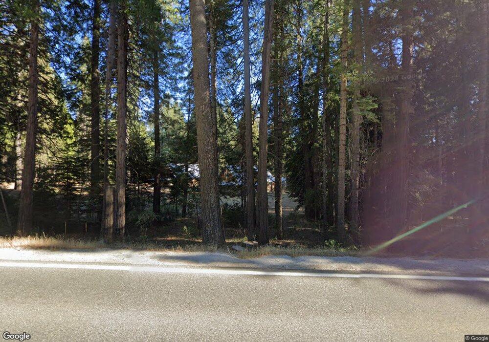
22637 State Highway 20 Nevada City, CA 95959
Estimated Value: $471,000 - $523,000
2
Beds
2
Baths
1,520
Sq Ft
$327/Sq Ft
Est. Value
About This Home
This home is located at 22637 State Highway 20, Nevada City, CA 95959 and is currently estimated at $497,000, approximately $326 per square foot. 22637 State Highway 20 is a home located in Nevada County with nearby schools including Deer Creek Elementary School and Seven Hills Intermediate School.
Ownership History
Date
Name
Owned For
Owner Type
Purchase Details
Closed on
Oct 23, 2025
Sold by
Coleman Kathleeen R and Leas Coleman Revocable Trust
Bought by
Leas Family Revocable Trust and Leas
Current Estimated Value
Purchase Details
Closed on
Jul 1, 2017
Sold by
Leas Allan S
Bought by
Leas Allan S and Coleman Karthleen R
Purchase Details
Closed on
Jan 25, 2010
Sold by
Leas Allan S
Bought by
Leas Allan S
Home Financials for this Owner
Home Financials are based on the most recent Mortgage that was taken out on this home.
Original Mortgage
$150,000
Interest Rate
4.91%
Mortgage Type
New Conventional
Create a Home Valuation Report for This Property
The Home Valuation Report is an in-depth analysis detailing your home's value as well as a comparison with similar homes in the area
Home Values in the Area
Average Home Value in this Area
Purchase History
| Date | Buyer | Sale Price | Title Company |
|---|---|---|---|
| Leas Family Revocable Trust | -- | None Listed On Document | |
| Leas Allan S | -- | None Available | |
| Leas Allan S | -- | Placer Title Company |
Source: Public Records
Mortgage History
| Date | Status | Borrower | Loan Amount |
|---|---|---|---|
| Previous Owner | Leas Allan S | $150,000 |
Source: Public Records
Tax History Compared to Growth
Tax History
| Year | Tax Paid | Tax Assessment Tax Assessment Total Assessment is a certain percentage of the fair market value that is determined by local assessors to be the total taxable value of land and additions on the property. | Land | Improvement |
|---|---|---|---|---|
| 2025 | $2,952 | $250,483 | $63,784 | $186,699 |
| 2024 | $2,888 | $245,573 | $62,534 | $183,039 |
| 2023 | $2,888 | $240,758 | $61,308 | $179,450 |
| 2022 | $2,827 | $236,038 | $60,106 | $175,932 |
| 2021 | $2,746 | $231,411 | $58,928 | $172,483 |
| 2020 | $2,735 | $229,039 | $58,324 | $170,715 |
| 2019 | $2,678 | $224,549 | $57,181 | $167,368 |
| 2018 | $2,624 | $220,147 | $56,060 | $164,087 |
| 2017 | $2,572 | $215,831 | $54,961 | $160,870 |
| 2016 | $2,481 | $211,600 | $53,884 | $157,716 |
| 2015 | $2,444 | $208,422 | $53,075 | $155,347 |
| 2014 | $2,444 | $204,340 | $52,036 | $152,304 |
Source: Public Records
Map
Nearby Homes
- 10112 Old Blue Rd
- 11555 Sky Pines Ridge Rd
- 21885 Skypine Lakeview Ln
- 11234 Valencia Rd
- 21755 State Highway 20
- 20392 Madrone Springs Rd
- 20194 Madrone Springs Rd
- 11800 Old Gold Dr
- 14437 Lightning Tree Rd
- 14344 Banner Quaker Hill Rd
- 30205 N Bloomfield-Graniteville Rd
- 16633 Azurite Ct
- 14631 Empress Mine Ct
- 0 McKilligan Rd N Unit 224152663
- 14634 Empress Mine Ct
- 16600 Holiday Way
- 14647 Banner Quaker Hill Rd
- 23324 Banner Quaker Hill Rd
- 13762 Lightning Tree Rd
- 16634 Cooper Rd
- 22583 State Highway 20
- 22545 State Highway 20
- 22636 State Highway 20
- 22610 State Highway 20
- 11689 Casci Rd
- 22600 State Highway 20
- 22469 State Highway 20
- 11743 Casci Rd
- 11037 Sky Pines Ridge Rd
- 22708 State Highway 20
- 11754 Casci Ridge Rd
- 11818 Casci Rd
- 11821 Casci Ridge Rd
- 11076 Sky Pines Ridge Rd
- 11825 Casci Rd
- 22560 State Highway 20
- 11822 Casci Ridge Rd
- 11171 Sky Pines Ridge Rd
- 11879 Casci Rd
