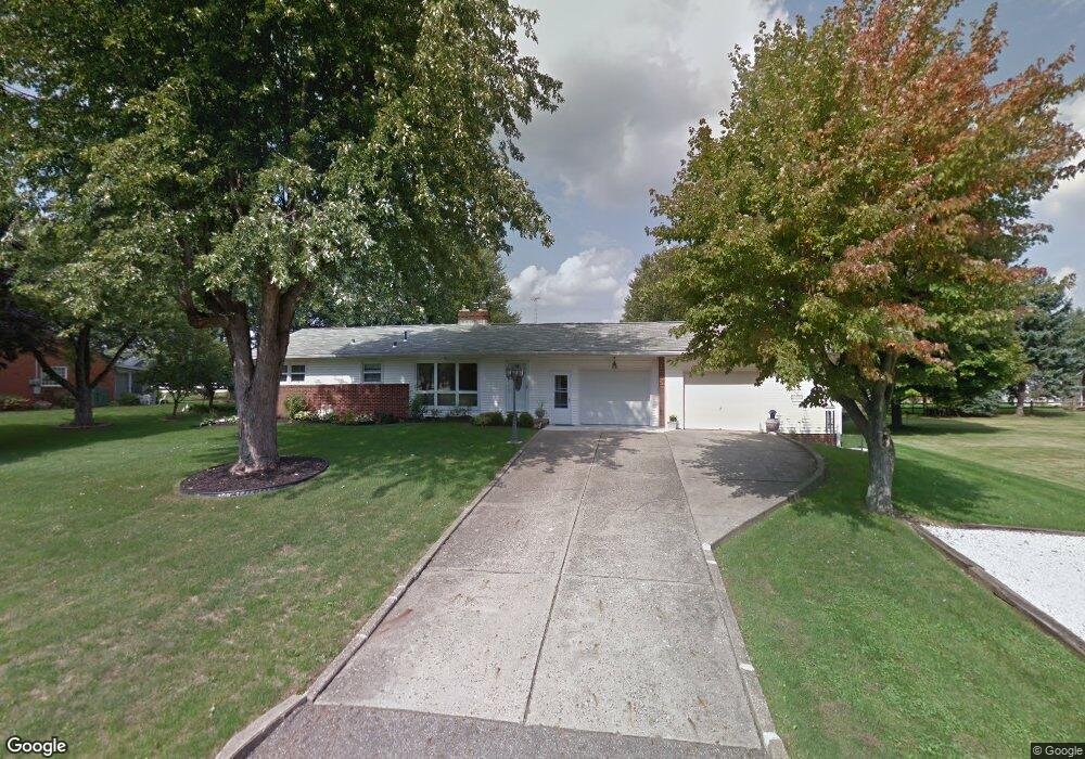
227 Fairview St Louisville, OH 44641
Estimated Value: $211,031 - $235,000
2
Beds
2
Baths
1,144
Sq Ft
$197/Sq Ft
Est. Value
About This Home
This home is located at 227 Fairview St, Louisville, OH 44641 and is currently estimated at $225,508, approximately $197 per square foot. 227 Fairview St is a home located in Stark County with nearby schools including Louisville High School and St. Thomas Aquinas High School & Middle School.
Ownership History
Date
Name
Owned For
Owner Type
Purchase Details
Closed on
Aug 1, 2007
Sold by
Margo Richard C and Margo Nancy Ann
Bought by
Roebuck Alan and Roebuck Carol J
Current Estimated Value
Home Financials for this Owner
Home Financials are based on the most recent Mortgage that was taken out on this home.
Original Mortgage
$60,000
Outstanding Balance
$38,125
Interest Rate
6.73%
Mortgage Type
Purchase Money Mortgage
Estimated Equity
$187,383
Purchase Details
Closed on
Dec 15, 2004
Sold by
Margo Richard C and Margo Nancy Ann
Bought by
Margo Richard C
Create a Home Valuation Report for This Property
The Home Valuation Report is an in-depth analysis detailing your home's value as well as a comparison with similar homes in the area
Home Values in the Area
Average Home Value in this Area
Purchase History
| Date | Buyer | Sale Price | Title Company |
|---|---|---|---|
| Roebuck Alan | $121,500 | Attorney | |
| Margo Richard C | -- | -- |
Source: Public Records
Mortgage History
| Date | Status | Borrower | Loan Amount |
|---|---|---|---|
| Open | Roebuck Alan | $60,000 |
Source: Public Records
Tax History Compared to Growth
Tax History
| Year | Tax Paid | Tax Assessment Tax Assessment Total Assessment is a certain percentage of the fair market value that is determined by local assessors to be the total taxable value of land and additions on the property. | Land | Improvement |
|---|---|---|---|---|
| 2025 | -- | $61,890 | $20,270 | $41,620 |
| 2024 | -- | $61,890 | $20,270 | $41,620 |
| 2023 | $1,815 | $51,390 | $16,770 | $34,620 |
| 2022 | $1,838 | $51,390 | $16,770 | $34,620 |
| 2021 | $1,843 | $51,390 | $16,770 | $34,620 |
| 2020 | $1,451 | $45,190 | $15,120 | $30,070 |
| 2019 | $1,457 | $43,960 | $15,120 | $28,840 |
| 2018 | $1,403 | $43,960 | $15,120 | $28,840 |
| 2017 | $1,232 | $38,580 | $12,640 | $25,940 |
| 2016 | $1,257 | $38,580 | $12,640 | $25,940 |
| 2015 | $1,261 | $38,580 | $12,640 | $25,940 |
| 2014 | $1,158 | $34,200 | $11,200 | $23,000 |
| 2013 | $582 | $34,200 | $11,200 | $23,000 |
Source: Public Records
Map
Nearby Homes
- 524 Glenbar St
- 614 Reno Dr
- 0 Glenbar St
- 0 Brookridge Ave
- 428 Honeycrisp Dr NE
- 3047 Mcintosh Dr NE
- 432 Honeycrisp Dr NE
- 2962 Mcintosh Dr NE
- 2963 Mcintosh Dr NE
- 430 Honeycrisp Dr NE
- 2957 Mcintosh Dr NE
- 5474 Ravenna Ave
- 300 Kennedy St
- 316 E Reno Dr
- 3580 Brookridge Ave Lot 15
- 1175 Sturbridge Dr
- 1149 Sturbridge Dr
- 910 Crosswyck Cir
- 1170 Winding Ridge Ave
- 325 Lincoln Ave