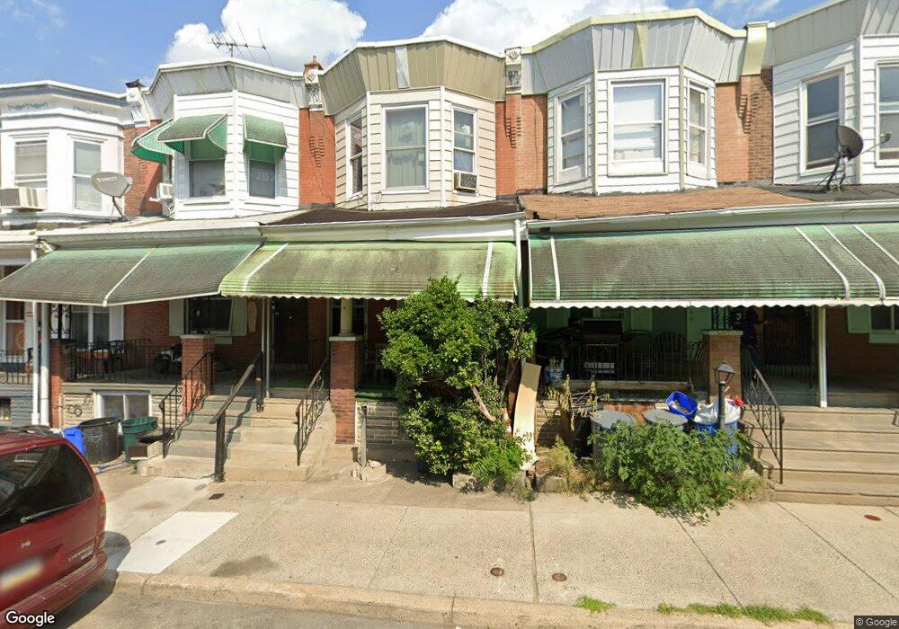
227 N Paxon St Philadelphia, PA 19139
Dunlap NeighborhoodEstimated Value: $128,639 - $168,000
3
Beds
1
Bath
1,320
Sq Ft
$115/Sq Ft
Est. Value
About This Home
This home is located at 227 N Paxon St, Philadelphia, PA 19139 and is currently estimated at $151,660, approximately $114 per square foot. 227 N Paxon St is a home located in Philadelphia County with nearby schools including Sherman Elementary School, Union Mill Elementary School, and James Rhoads Elementary School.
Ownership History
Date
Name
Owned For
Owner Type
Purchase Details
Closed on
Sep 21, 2022
Sold by
Dublin-Stone Vercil
Bought by
Dublin-Stone Vercil
Current Estimated Value
Purchase Details
Closed on
Aug 30, 2001
Sold by
Mango Marissa A
Bought by
Stone Kendall T
Home Financials for this Owner
Home Financials are based on the most recent Mortgage that was taken out on this home.
Original Mortgage
$44,101
Interest Rate
7.05%
Mortgage Type
FHA
Purchase Details
Closed on
Feb 2, 2001
Sold by
Wilson Diane M and Estate Of Audrey E Morton
Bought by
Mango Marissa A
Create a Home Valuation Report for This Property
The Home Valuation Report is an in-depth analysis detailing your home's value as well as a comparison with similar homes in the area
Home Values in the Area
Average Home Value in this Area
Purchase History
| Date | Buyer | Sale Price | Title Company |
|---|---|---|---|
| Dublin-Stone Vercil | -- | -- | |
| Stone Kendall T | $44,000 | -- | |
| Mango Marissa A | $13,000 | -- |
Source: Public Records
Mortgage History
| Date | Status | Borrower | Loan Amount |
|---|---|---|---|
| Previous Owner | Stone Kendall T | $44,101 |
Source: Public Records
Tax History Compared to Growth
Tax History
| Year | Tax Paid | Tax Assessment Tax Assessment Total Assessment is a certain percentage of the fair market value that is determined by local assessors to be the total taxable value of land and additions on the property. | Land | Improvement |
|---|---|---|---|---|
| 2026 | $1,163 | $112,000 | $22,400 | $89,600 |
| 2025 | $1,163 | $112,000 | $22,400 | $89,600 |
| 2024 | $1,163 | $112,000 | $22,400 | $89,600 |
| 2023 | $1,163 | $83,100 | $16,620 | $66,480 |
| 2022 | $80 | $38,100 | $16,620 | $21,480 |
| 2021 | $710 | $0 | $0 | $0 |
| 2020 | $710 | $0 | $0 | $0 |
| 2019 | $683 | $0 | $0 | $0 |
| 2018 | $690 | $0 | $0 | $0 |
| 2017 | $690 | $0 | $0 | $0 |
| 2016 | $270 | $0 | $0 | $0 |
| 2015 | $482 | $0 | $0 | $0 |
| 2014 | -- | $66,000 | $4,824 | $61,176 |
| 2012 | -- | $6,944 | $1,220 | $5,724 |
Source: Public Records
Map
Nearby Homes
- 241 N Paxon St
- 5144 Haverford Ave
- 5146 Haverford Ave
- 21 N Dearborn St
- 23 N Dearborn St
- 52 N Dearborn St
- 448 N Dearborn St
- 44 Farson St
- 453 Farson St
- 5216 Race St
- 138 N Dearborn St
- 5125 Brown St
- 248 N Wilton St
- 1666 N Lindenwood St
- 5055 Brown St
- 5001 Funston St
- 465 N Farson St
- 5121 Funston St
- 419 N 50th St
- 141 N Lindenwood St