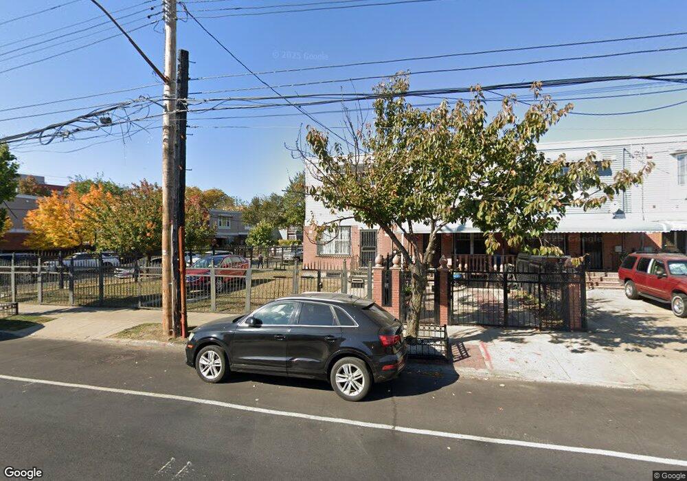
227 New Lots Ave Brooklyn, NY 11207
Brownsville NeighborhoodEstimated Value: $635,642 - $715,000
--
Bed
--
Bath
1,332
Sq Ft
$510/Sq Ft
Est. Value
About This Home
This home is located at 227 New Lots Ave, Brooklyn, NY 11207 and is currently estimated at $679,411, approximately $510 per square foot. 227 New Lots Ave is a home located in Kings County with nearby schools including P.S. 190 - Sheffield, Achievement First - East New York School, and Grace Christian Educational.
Ownership History
Date
Name
Owned For
Owner Type
Purchase Details
Closed on
Jun 5, 2002
Sold by
Nehemiah Housing Develop
Bought by
Beech Melissa
Current Estimated Value
Home Financials for this Owner
Home Financials are based on the most recent Mortgage that was taken out on this home.
Original Mortgage
$85,000
Outstanding Balance
$35,889
Interest Rate
6.79%
Estimated Equity
$643,522
Create a Home Valuation Report for This Property
The Home Valuation Report is an in-depth analysis detailing your home's value as well as a comparison with similar homes in the area
Home Values in the Area
Average Home Value in this Area
Purchase History
| Date | Buyer | Sale Price | Title Company |
|---|---|---|---|
| Beech Melissa | -- | -- |
Source: Public Records
Mortgage History
| Date | Status | Borrower | Loan Amount |
|---|---|---|---|
| Open | Beech Melissa | $85,000 |
Source: Public Records
Tax History Compared to Growth
Tax History
| Year | Tax Paid | Tax Assessment Tax Assessment Total Assessment is a certain percentage of the fair market value that is determined by local assessors to be the total taxable value of land and additions on the property. | Land | Improvement |
|---|---|---|---|---|
| 2025 | $5,894 | $36,180 | $16,260 | $19,920 |
| 2024 | $5,894 | $42,240 | $16,260 | $25,980 |
| 2023 | $5,782 | $37,320 | $16,260 | $21,060 |
| 2022 | $5,284 | $34,440 | $16,260 | $18,180 |
| 2021 | $4,945 | $28,920 | $16,260 | $12,660 |
| 2020 | $3,709 | $25,620 | $11,171 | $14,449 |
| 2019 | $3,857 | $25,620 | $11,171 | $14,449 |
| 2018 | $3,304 | $24,891 | $10,442 | $14,449 |
| 2017 | $3,007 | $24,891 | $10,442 | $14,449 |
| 2016 | $2,607 | $24,704 | $10,255 | $14,449 |
| 2015 | $640 | $23,306 | $8,857 | $14,449 |
| 2014 | $640 | $21,987 | $7,538 | $14,449 |
Source: Public Records
Map
Nearby Homes
- 442 Newport St
- 584 Hinsdale St
- 589 Hinsdale St
- 541 Hinsdale St
- 582 Williams Ave
- 578 Williams Ave
- 533 Snediker Ave
- 576 Williams Ave
- 650 Williams Ave
- 660 Williams Ave Unit 142
- 610 Alabama Ave
- 606 Alabama Ave
- 563 Powell St
- 1753 Linden Blvd
- 1755 Linden Blvd
- 546 Powell St
- 699 Sackman St
- 1825 Linden Blvd
- 679 Georgia Ave
- 555 Christopher Ave
- 229 New Lots Ave
- 231 New Lots Ave
- 233 New Lots Ave
- 235 New Lots Ave
- 587 Hinsdale St
- 237 New Lots Ave
- 219 New Lots Ave
- 239 New Lots Ave
- 585 Hinsdale St
- 598 Hinsdale St
- 215 New Lots Ave
- 596 Hinsdale St
- 241 New Lots Ave
- 594 Hinsdale St
- 583 Hinsdale St
- 213 New Lots Ave
- 592 Hinsdale St
- 230 New Lots Ave
- 224 New Lots Ave
- 226 New Lots Ave