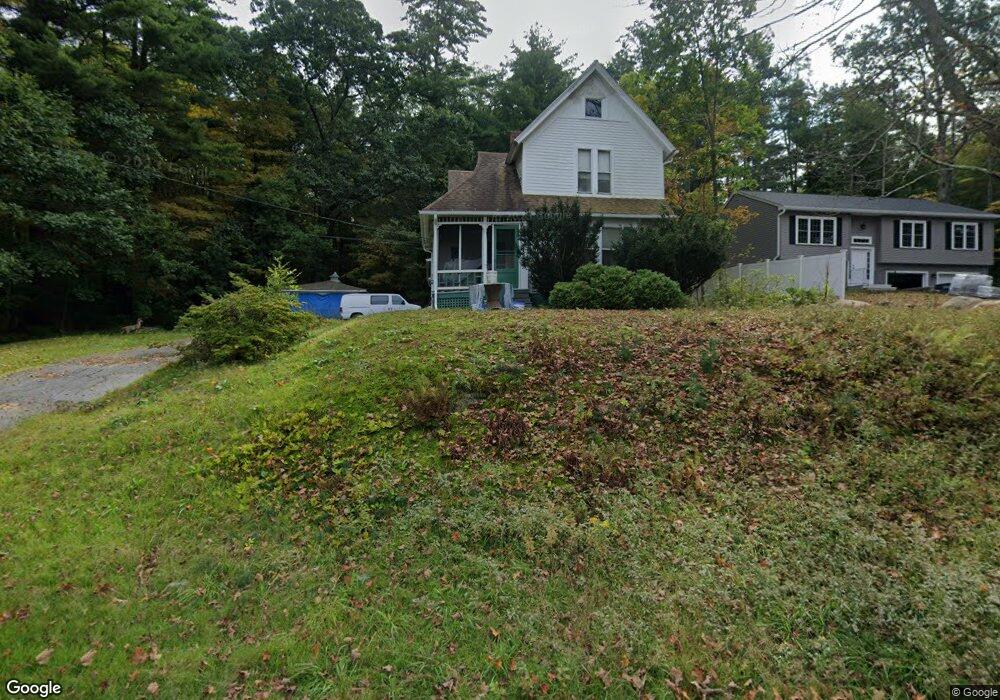
227 Washington St Warren, MA 01083
Estimated Value: $269,000 - $356,000
3
Beds
1
Bath
1,548
Sq Ft
$195/Sq Ft
Est. Value
About This Home
This home is located at 227 Washington St, Warren, MA 01083 and is currently estimated at $302,627, approximately $195 per square foot. 227 Washington St is a home with nearby schools including Quaboag Regional High School.
Ownership History
Date
Name
Owned For
Owner Type
Purchase Details
Closed on
Jul 1, 1998
Sold by
Wood Edith M
Bought by
Mooney John L
Current Estimated Value
Home Financials for this Owner
Home Financials are based on the most recent Mortgage that was taken out on this home.
Original Mortgage
$57,600
Outstanding Balance
$11,829
Interest Rate
7.04%
Mortgage Type
Purchase Money Mortgage
Estimated Equity
$290,799
Create a Home Valuation Report for This Property
The Home Valuation Report is an in-depth analysis detailing your home's value as well as a comparison with similar homes in the area
Home Values in the Area
Average Home Value in this Area
Purchase History
| Date | Buyer | Sale Price | Title Company |
|---|---|---|---|
| Mooney John L | $72,000 | -- | |
| Mooney John L | $72,000 | -- |
Source: Public Records
Mortgage History
| Date | Status | Borrower | Loan Amount |
|---|---|---|---|
| Open | Mooney John L | $57,600 | |
| Closed | Mooney John L | $57,600 |
Source: Public Records
Tax History Compared to Growth
Tax History
| Year | Tax Paid | Tax Assessment Tax Assessment Total Assessment is a certain percentage of the fair market value that is determined by local assessors to be the total taxable value of land and additions on the property. | Land | Improvement |
|---|---|---|---|---|
| 2025 | $2,786 | $188,100 | $47,000 | $141,100 |
| 2024 | $2,835 | $188,100 | $47,000 | $141,100 |
| 2023 | $2,789 | $176,500 | $47,000 | $129,500 |
| 2022 | $2,233 | $143,500 | $23,700 | $119,800 |
| 2021 | $2,195 | $137,500 | $22,500 | $115,000 |
| 2020 | $2,047 | $119,300 | $15,200 | $104,100 |
| 2019 | $5,669 | $113,100 | $15,200 | $97,900 |
| 2018 | $737 | $103,800 | $15,200 | $88,600 |
| 2017 | $1,852 | $99,800 | $15,700 | $84,100 |
| 2016 | $1,907 | $96,100 | $15,100 | $81,000 |
| 2015 | $1,719 | $91,700 | $15,100 | $76,600 |
| 2014 | $1,795 | $94,000 | $15,100 | $78,900 |
Source: Public Records
Map
Nearby Homes
- 29 Liberty St
- 152 Southbridge Rd Unit 3D
- 124 Southbridge Rd
- Lot 8 Southbridge Rd
- LOT 7 Southbridge Rd
- 58 Nelson St
- 366 Southbridge Rd
- 82 Comins Pond Rd
- Lot 4 Brimfield Rd
- 35 Bacon St
- 72 Maple St
- 17 Otis St
- 59 High St
- 170 Bridge St
- Lot 5 Brimfield Rd
- Lot 3 Brimfield Rd
- Lot 4 Reed St
- Lot 7 Reed St
- 0 Town Farm Rd
- 940 Old West Brookfield Rd
- 253 Washington St
- 233 Washington St
- 293 Washington St
- 230 Washington St
- 250 Washington
- 250 Washington St
- 0 Washington St
- Lot 3 Washington St
- 124 Burbank Ave
- 197 East Rd
- 213 Washington St
- 219 East Rd
- 114 Burbank Ave
- 175 East Rd
- 129 Burbank Ave
- 159 East Rd
- 210 East Rd
- 84 Burbank Ave
- 651 Old West Brookfield Rd
- 286 East Rd