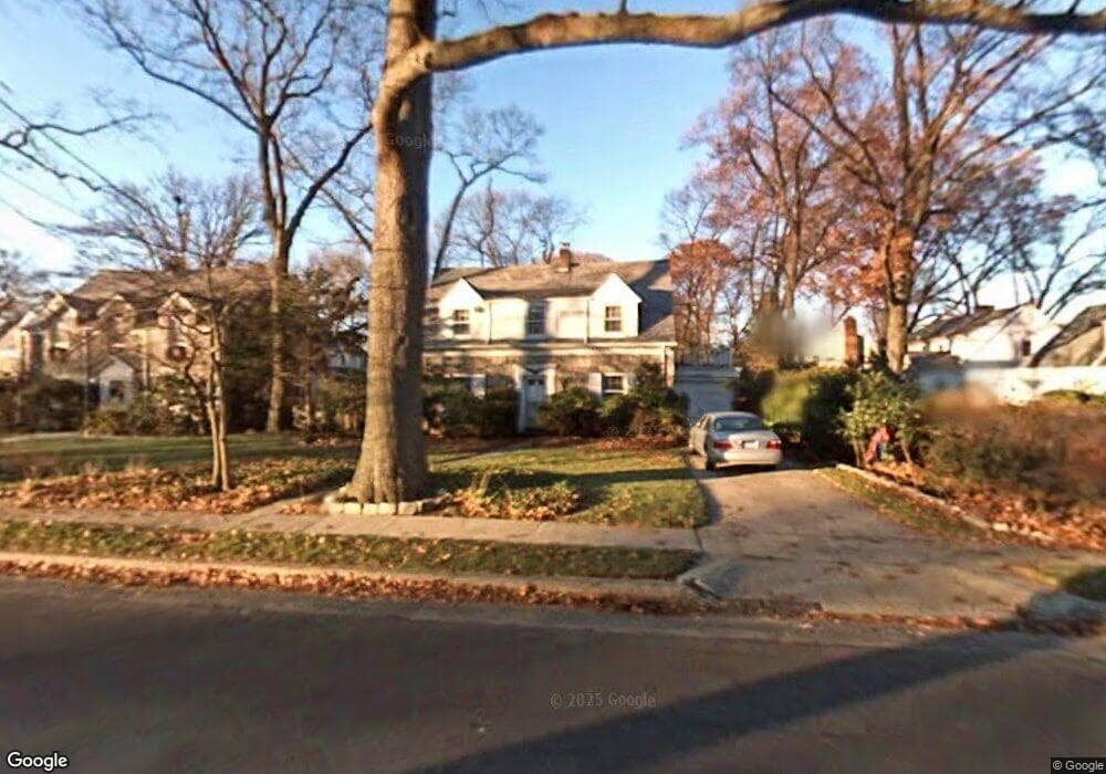
228 W Seaman Ave Freeport, NY 11520
Estimated Value: $605,148 - $706,000
--
Bed
3
Baths
1,494
Sq Ft
$439/Sq Ft
Est. Value
About This Home
This home is located at 228 W Seaman Ave, Freeport, NY 11520 and is currently estimated at $655,574, approximately $438 per square foot. 228 W Seaman Ave is a home located in Nassau County with nearby schools including Baldwin Senior High School and Roosevelt Children's Academy.
Ownership History
Date
Name
Owned For
Owner Type
Purchase Details
Closed on
May 20, 2016
Sold by
Koutsogiannis George
Bought by
Suffren Monica Terry
Current Estimated Value
Home Financials for this Owner
Home Financials are based on the most recent Mortgage that was taken out on this home.
Original Mortgage
$245,000
Outstanding Balance
$194,591
Interest Rate
3.59%
Mortgage Type
New Conventional
Estimated Equity
$460,983
Purchase Details
Closed on
Jan 15, 2015
Sold by
Korn Diane E
Bought by
Koutsogiannis George
Purchase Details
Closed on
Dec 31, 2013
Sold by
Korn Diane E
Bought by
Korn Diane E
Create a Home Valuation Report for This Property
The Home Valuation Report is an in-depth analysis detailing your home's value as well as a comparison with similar homes in the area
Home Values in the Area
Average Home Value in this Area
Purchase History
| Date | Buyer | Sale Price | Title Company |
|---|---|---|---|
| Suffren Monica Terry | $430,000 | None Available | |
| Koutsogiannis George | $127,000 | None Available | |
| Korn Diane E | -- | -- |
Source: Public Records
Mortgage History
| Date | Status | Borrower | Loan Amount |
|---|---|---|---|
| Open | Suffren Monica Terry | $245,000 |
Source: Public Records
Tax History Compared to Growth
Tax History
| Year | Tax Paid | Tax Assessment Tax Assessment Total Assessment is a certain percentage of the fair market value that is determined by local assessors to be the total taxable value of land and additions on the property. | Land | Improvement |
|---|---|---|---|---|
| 2025 | $10,652 | $455 | $148 | $307 |
| 2024 | $947 | $427 | $148 | $279 |
| 2023 | $10,108 | $427 | $148 | $279 |
| 2022 | $10,108 | $427 | $148 | $279 |
| 2021 | $14,651 | $415 | $144 | $271 |
| 2020 | $10,048 | $608 | $425 | $183 |
| 2019 | $9,597 | $608 | $425 | $183 |
| 2018 | $9,086 | $608 | $0 | $0 |
| 2017 | $7,318 | $608 | $377 | $231 |
| 2016 | $8,231 | $608 | $377 | $231 |
| 2015 | -- | $685 | $425 | $260 |
| 2014 | -- | $685 | $425 | $260 |
| 2013 | $598 | $685 | $425 | $260 |
Source: Public Records
Map
Nearby Homes
- 89 Delaware Ave
- 107 California Ave
- 142 Maryland Ave
- 139 New York Ave
- 1 Willowbrook Ln
- 154 California Ave
- 174 Delaware Ave
- 36 New York Ave
- 21 Connecticut Ave
- 215 N Brookside Ave
- 6 New York Ave
- 345 W Seaman Ave
- 254 Lena Ave
- 187 Moore Ave
- 152 Evans Ave
- 27 W Woodbine Dr
- 365 Wallace St
- 63 Lincoln Place
- 101 Wallace St
- 1850 Voshage St
- 234 W Seaman Ave
- 241 Pennsylvania Ave
- 108 Delaware Ave
- 231 W Seaman Ave
- 225 W Seaman Ave
- 249 Pennsylvania Ave
- 116 Delaware Ave
- 225 Pennsylvania Ave
- 90 Delaware Ave
- 259 Pennsylvania Ave
- 120 Delaware Ave
- 250 W Seaman Ave
- 84 Delaware Ave
- 105 Delaware Ave
- 221 Pennsylvania Ave
- 204 W Seaman Ave
- 244 Pennsylvania Ave
- 245 W Seaman Ave
- 224 Pennsylvania Ave
- 126 Delaware Ave