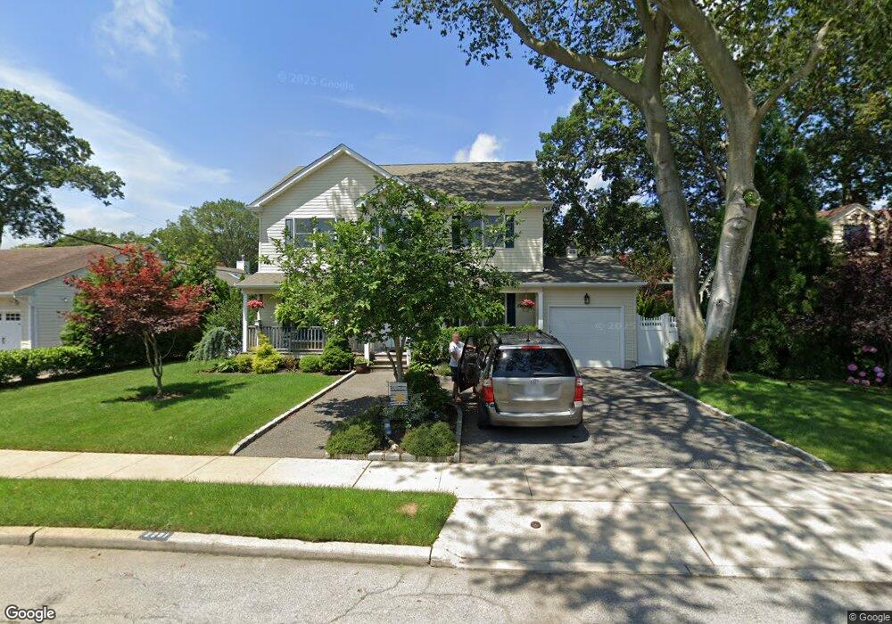
2281 Locust St Merrick, NY 11566
Estimated Value: $912,494 - $963,000
4
Beds
4
Baths
2,040
Sq Ft
$460/Sq Ft
Est. Value
About This Home
This home is located at 2281 Locust St, Merrick, NY 11566 and is currently estimated at $937,747, approximately $459 per square foot. 2281 Locust St is a home located in Nassau County with nearby schools including Weatherford West Elementary School, Lt. General Thomas P. Stafford Elementary School, and Grand Avenue Middle School.
Ownership History
Date
Name
Owned For
Owner Type
Purchase Details
Closed on
Mar 11, 2024
Sold by
Coyle Michael and Coyle Elyn
Bought by
Coyle Craig and Coyle Family 2024 Irrevocable Trust
Current Estimated Value
Purchase Details
Closed on
Jun 12, 2006
Sold by
Barabas Judith
Bought by
Coyle Michael
Purchase Details
Closed on
Feb 9, 1998
Create a Home Valuation Report for This Property
The Home Valuation Report is an in-depth analysis detailing your home's value as well as a comparison with similar homes in the area
Home Values in the Area
Average Home Value in this Area
Purchase History
| Date | Buyer | Sale Price | Title Company |
|---|---|---|---|
| Coyle Craig | -- | None Available | |
| Coyle Michael | -- | None Available | |
| Coyle Craig | -- | None Available | |
| Coyle Michael | -- | None Available | |
| Coyle Michael | $420,000 | -- | |
| Coyle Michael | $420,000 | -- | |
| -- | $70,000 | -- | |
| -- | $70,000 | -- |
Source: Public Records
Tax History Compared to Growth
Tax History
| Year | Tax Paid | Tax Assessment Tax Assessment Total Assessment is a certain percentage of the fair market value that is determined by local assessors to be the total taxable value of land and additions on the property. | Land | Improvement |
|---|---|---|---|---|
| 2025 | $16,142 | $571 | $189 | $382 |
| 2024 | $4,193 | $568 | $188 | $380 |
| 2023 | $15,781 | $600 | $200 | $400 |
| 2022 | $15,781 | $598 | $200 | $398 |
| 2021 | $21,147 | $597 | $190 | $407 |
| 2020 | $16,033 | $910 | $679 | $231 |
| 2019 | $16,717 | $975 | $606 | $369 |
| 2018 | $16,894 | $1,170 | $0 | $0 |
| 2017 | $12,713 | $1,170 | $727 | $443 |
| 2016 | $17,947 | $1,170 | $727 | $443 |
| 2015 | $4,832 | $1,170 | $727 | $443 |
| 2014 | $4,832 | $1,170 | $727 | $443 |
| 2013 | $4,514 | $1,170 | $727 | $443 |
Source: Public Records
Map
Nearby Homes
- 2271 Locust St
- 2282 Sycamore Place
- 1734 Roberta Ln
- 70 Nancy Blvd
- 2239 Henry St
- 20 Kenneth Ave
- 1680 Lake Ave
- 1448 Dewey Ave
- 2 Garfield St
- 2245 Van Nostrand Ave
- 2327 Cleveland St
- 2434 Martin Ave
- 12 Washington Dr
- 2207 Van Nostrand Ave
- 2005 Abbot Ave
- 22 Davenport Place
- 1580 Little Whaleneck Rd
- 138 Hewlett Ave
- 10 Airway Dr
- 1800 Remson Ave
- 2289 Locust St
- 2285 Locust St
- 2286 Sycamore Place
- 2292 Sycamore Place
- 2295 Locust St
- 2279 Locust St
- 2284 Locust St
- 2298 Sycamore Place
- 2282 Locust St
- 2274 Sycamore Place
- 2301 Locust St
- 2280 Locust St
- 2294 Locust St
- 2304 Sycamore Place
- 2270 Sycamore Place
- 2285 Sycamore Place
- 2300 Locust St
- 2272 Locust St
- 1701 Sycamore Ave
- 2303 Howes St