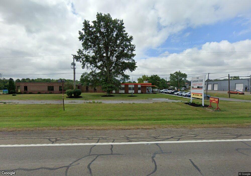
22831 State Route 62 Alliance, OH 44601
Estimated Value: $340,808
--
Bed
--
Bath
14,859
Sq Ft
$23/Sq Ft
Est. Value
About This Home
This home is located at 22831 State Route 62, Alliance, OH 44601 and is currently estimated at $340,808, approximately $22 per square foot. 22831 State Route 62 is a home located in Columbiana County with nearby schools including Alliance Elementary School at Rockhill, Alliance Intermediate School at Northside, and Alliance Middle School.
Ownership History
Date
Name
Owned For
Owner Type
Purchase Details
Closed on
Dec 13, 2017
Sold by
Klusch Real Estate Holdings Llc
Bought by
The Bargain Store
Current Estimated Value
Purchase Details
Closed on
Feb 22, 2017
Sold by
Cunnigham Robert E
Bought by
Cunnigham Mary F
Purchase Details
Closed on
Jun 8, 1988
Bought by
Klusch John
Create a Home Valuation Report for This Property
The Home Valuation Report is an in-depth analysis detailing your home's value as well as a comparison with similar homes in the area
Home Values in the Area
Average Home Value in this Area
Purchase History
| Date | Buyer | Sale Price | Title Company |
|---|---|---|---|
| The Bargain Store | -- | None Available | |
| Cunnigham Mary F | -- | None Available | |
| Klusch John | $135,000 | -- |
Source: Public Records
Tax History Compared to Growth
Tax History
| Year | Tax Paid | Tax Assessment Tax Assessment Total Assessment is a certain percentage of the fair market value that is determined by local assessors to be the total taxable value of land and additions on the property. | Land | Improvement |
|---|---|---|---|---|
| 2024 | $93 | $68,500 | $21,070 | $47,430 |
| 2023 | $93 | $68,500 | $21,070 | $47,430 |
| 2022 | $103 | $68,500 | $21,070 | $47,430 |
| 2021 | $67 | $61,790 | $20,930 | $40,860 |
| 2020 | $67 | $61,790 | $20,930 | $40,860 |
| 2019 | $2,580 | $61,790 | $20,930 | $40,860 |
| 2018 | $8,765 | $210,110 | $20,930 | $189,180 |
| 2017 | $8,768 | $210,110 | $20,930 | $189,180 |
| 2016 | $8,627 | $211,200 | $20,900 | $190,300 |
| 2015 | $8,702 | $211,200 | $20,900 | $190,300 |
| 2014 | $8,434 | $211,200 | $20,900 | $190,300 |
Source: Public Records
Map
Nearby Homes
- 1105 Abbey Ln
- 22360 Margaret Ln
- 1233 Woodland Ave
- 22841 Lake Park Blvd
- 853 Fairway Dr
- 834 Devine St
- 815 Grace St
- 729 Waugh St
- 2376 S Seneca Ave
- 2218 S Freedom Ave
- 831 Wade Ave
- 1846 S Freedom Ave
- 814 Milner St
- 555 E Milton St
- 1044 S Liberty Ave
- 3636 S Mahoning Ave
- 2408 S Linden Ave
- 390 E College St
- 317 E State St
- 2460 S Arch Ave
- 21896 State Route 62
- 22150 Harrisburg Westville Rd
- 22661 State Route 62
- 22997 State Route 62
- 22180 Harrisburg Westville Rd
- 22184 Harrisburg Westville Rd
- 22683 State Route 62
- 22198 Youngstown Salem Rd
- 22625 State Route 62
- 22238 Harrisburg Westville Rd
- 22250 Harrisburg Westville Rd
- 22258 Harrisburg Westville Rd
- 22216 Harrisburg Westville Rd
- 128 Homeworth Rd
- 140 Homeworth Rd
- 158 Homeworth Rd
- 180 Homeworth Rd
- 202 Homeworth Rd
- 22188 Alliance Sebring Rd
- 248 Homeworth Rd