22846 22846 Nw 62-Street- Sunburg, MN 56289
Estimated Value: $337,000 - $566,000
2
Beds
1
Bath
1,568
Sq Ft
$299/Sq Ft
Est. Value
About This Home
This home is located at 22846 22846 Nw 62-Street-, Sunburg, MN 56289 and is currently estimated at $469,506, approximately $299 per square foot. 22846 22846 Nw 62-Street- is a home located in Kandiyohi County with nearby schools including Prairie Woods Elementary School, New London-Spicer Middle School, and New London-Spicer Senior High School.
Ownership History
Date
Name
Owned For
Owner Type
Purchase Details
Closed on
Jun 7, 2018
Sold by
Dengler Brian and Dengler Melody
Bought by
Schuerman Daren C and Schuerman Kimberly
Current Estimated Value
Home Financials for this Owner
Home Financials are based on the most recent Mortgage that was taken out on this home.
Original Mortgage
$248,000
Outstanding Balance
$214,478
Interest Rate
4.5%
Mortgage Type
New Conventional
Estimated Equity
$255,028
Purchase Details
Closed on
Jun 8, 2017
Sold by
Frost Paul and Frost Pamela
Bought by
Dengler Brian and Dengler Melody
Home Financials for this Owner
Home Financials are based on the most recent Mortgage that was taken out on this home.
Original Mortgage
$168,800
Interest Rate
4.03%
Mortgage Type
New Conventional
Purchase Details
Closed on
Oct 31, 2013
Sold by
Glendal Llc
Bought by
Barber Timothy S and Peterson Dallen W
Create a Home Valuation Report for This Property
The Home Valuation Report is an in-depth analysis detailing your home's value as well as a comparison with similar homes in the area
Home Values in the Area
Average Home Value in this Area
Purchase History
| Date | Buyer | Sale Price | Title Company |
|---|---|---|---|
| Schuerman Daren C | $310,000 | Quality Title | |
| Dengler Brian | $211,000 | Quality Title | |
| Barber Timothy S | -- | -- |
Source: Public Records
Mortgage History
| Date | Status | Borrower | Loan Amount |
|---|---|---|---|
| Open | Schuerman Daren C | $248,000 | |
| Previous Owner | Dengler Brian | $168,800 |
Source: Public Records
Tax History Compared to Growth
Tax History
| Year | Tax Paid | Tax Assessment Tax Assessment Total Assessment is a certain percentage of the fair market value that is determined by local assessors to be the total taxable value of land and additions on the property. | Land | Improvement |
|---|---|---|---|---|
| 2025 | $4,354 | $430,300 | $254,200 | $176,100 |
| 2024 | $3,796 | $441,600 | $274,600 | $167,000 |
| 2023 | $3,084 | $414,200 | $245,300 | $168,900 |
| 2022 | $2,826 | $342,900 | $210,400 | $132,500 |
| 2021 | $2,752 | $270,100 | $157,800 | $112,300 |
| 2020 | $2,994 | $254,200 | $157,800 | $96,400 |
| 2019 | $2,794 | $276,100 | $175,300 | $100,800 |
| 2018 | $2,250 | $268,200 | $175,300 | $92,900 |
| 2017 | $2,438 | $226,900 | $175,300 | $51,600 |
| 2016 | $2,438 | $2,269 | $0 | $0 |
| 2015 | -- | $0 | $0 | $0 |
| 2014 | -- | $0 | $0 | $0 |
Source: Public Records
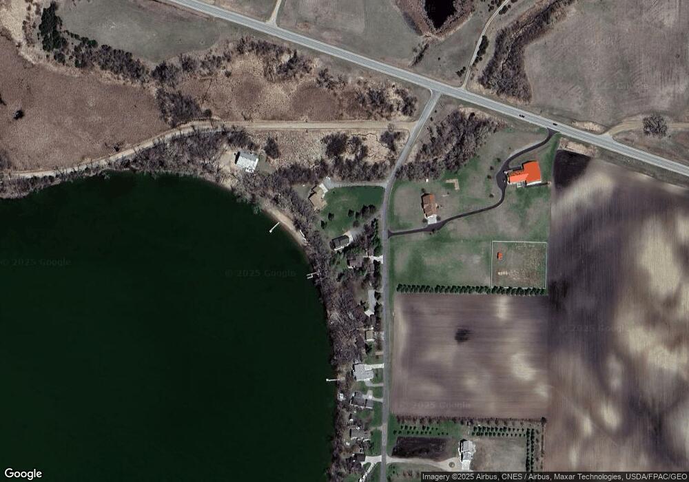
Map
Nearby Homes
- 23508 County Road 1 NW
- 20983 72nd St NW
- 24680 County Road 1 NW
- 24175 County Road 5 NW
- 3614 198th Ave NW
- 4916 189th Ave NW
- 23000 5th St NW
- 17216 County Road 5 NW
- 22869 5th St NW
- 25757 133rd St NW
- 870 S Andrew Dr NE
- 1122 S Andrew Dr NE
- 1245 137th Ave NW
- 21631 Kandi-Swift Rd NW
- 13300 330th St
- TBD Lot E Co Rd 40
- 13112 2nd St NE
- 311 131st Ave NE
- 13595 320th St
- TBD Lot H Co Rd 40
- 22846 62nd St NW
- 22830 62nd St NW
- 22864 62nd St NW
- 22748 22748 Ne 62nd-Street-
- 22748 62nd St NW
- 6391 225th Ave NW
- 22716 62nd St NW
- 22354 62nd St NW
- 22660 62nd St NW
- 22602 62nd St NW
- 22839 62nd St NW
- 22580 62nd St NW
- 22010 22010 Ne 62 St
- 22010 22010 Nw 62 Street--
- 22010 22010 Nw 62 St
- 22547 62nd St NW
- 22546 62nd St NW
- Xxx 62nd St NW
- 22549 62nd St NW
- 22374 62nd St NW