22924 V 66 Trail Montrose, CO 81403
Estimated Value: $667,000 - $923,607
3
Beds
3
Baths
2,349
Sq Ft
$348/Sq Ft
Est. Value
About This Home
This home is located at 22924 V 66 Trail, Montrose, CO 81403 and is currently estimated at $816,402, approximately $347 per square foot. 22924 V 66 Trail is a home located in Montrose County with nearby schools including Cottonwood Elementary School, Columbine Middle School, and Montrose High School.
Ownership History
Date
Name
Owned For
Owner Type
Purchase Details
Closed on
Mar 14, 1995
Sold by
Beeson Paul and Beeson Natalie
Bought by
Scott Robert A and Scott Sharon A
Current Estimated Value
Purchase Details
Closed on
Feb 28, 1995
Sold by
Alpine Land Development
Bought by
Beeson Paul and Beeson Natalie
Purchase Details
Closed on
Apr 18, 1991
Sold by
Dam Associates
Bought by
Alpine Land Development
Purchase Details
Closed on
Mar 20, 1991
Sold by
Mcwhirter Larry D
Bought by
Alpine Land Development
Create a Home Valuation Report for This Property
The Home Valuation Report is an in-depth analysis detailing your home's value as well as a comparison with similar homes in the area
Home Values in the Area
Average Home Value in this Area
Purchase History
| Date | Buyer | Sale Price | Title Company |
|---|---|---|---|
| Scott Robert A | $50,000 | -- | |
| Beeson Paul | $18,000 | -- | |
| Alpine Land Development | -- | -- | |
| Alpine Land Development | -- | -- |
Source: Public Records
Tax History Compared to Growth
Tax History
| Year | Tax Paid | Tax Assessment Tax Assessment Total Assessment is a certain percentage of the fair market value that is determined by local assessors to be the total taxable value of land and additions on the property. | Land | Improvement |
|---|---|---|---|---|
| 2024 | $3,670 | $58,250 | $10,710 | $47,540 |
| 2023 | $3,670 | $64,250 | $11,820 | $52,430 |
| 2022 | $2,445 | $42,480 | $6,260 | $36,220 |
| 2021 | $2,520 | $43,700 | $6,440 | $37,260 |
| 2020 | $2,197 | $39,900 | $8,370 | $31,530 |
| 2019 | $2,212 | $39,900 | $8,370 | $31,530 |
| 2018 | $2,158 | $38,370 | $6,480 | $31,890 |
| 2017 | $2,140 | $38,370 | $6,480 | $31,890 |
| 2016 | $1,761 | $34,030 | $4,620 | $29,410 |
| 2015 | $2,257 | $34,030 | $4,620 | $29,410 |
| 2014 | $1,833 | $29,570 | $4,620 | $24,950 |
Source: Public Records
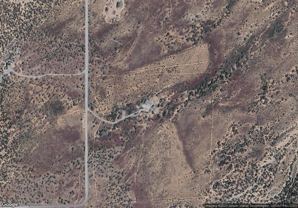
Map
Nearby Homes
- 23835 V66 Trail
- 22465 Horsefly Rd
- 830 Tiyoweh Trail
- TBD Government Springs Rd
- 67864 and 67918 Wildcat Trail
- 23855 Horsefly Rd
- 20891 Solitude Rd
- TBD Ute Valley Dr Unit Lot 1
- TBD Ute Valley Dr Unit Lot 2
- Lot 4 6785 Ct
- Lot 1 6785 Ct
- Lot 3 6785 Ct
- 22207 6840 Ct
- 21179 Highway 550
- 68200 Ute Valley Dr
- 21475 Highway 550
- 22130 6850 Rd Unit 210
- 22130 6850 Rd Unit 212
- 22130 6850 Rd Unit 210-215
- 22130 6850 Rd Unit 211
- 22893 V 66 Trail
- 22718 V 66 Trail
- 22674 V 66 Rd
- 23077 Government Springs Rd
- 23127 V 66 Trail
- 34 Snow Bush Dr
- 22719 V 66 Trail
- 22775 Government Springs Rd
- 23039 Government Springs Rd
- 23270 V 66 Trail
- 23183 V 66 Trail
- 0 Powerline Rd Unit 646543
- 23404 V66 Trail
- V66 Trail
- 23475 Government Springs Rd
- 22820 Government Springs Rd
- 22800 Government Springs Rd
- T and M Rd
- 23325 V 66 Trail
- 22790 Government Springs Rd