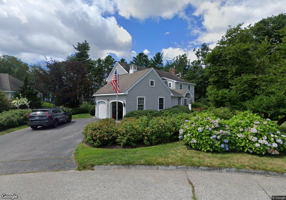
23 Admirals Way Kennebunk, ME 04043
Estimated Value: $1,176,000 - $2,247,000
4
Beds
4
Baths
2,997
Sq Ft
$537/Sq Ft
Est. Value
About This Home
This home is located at 23 Admirals Way, Kennebunk, ME 04043 and is currently estimated at $1,610,488, approximately $537 per square foot. 23 Admirals Way is a home located in York County with nearby schools including Kennebunk High School.
Ownership History
Date
Name
Owned For
Owner Type
Purchase Details
Closed on
Apr 8, 2021
Sold by
Frederick J Wilk Ret
Bought by
Wilk Kathleen and Morris James
Current Estimated Value
Purchase Details
Closed on
Nov 12, 2020
Sold by
Howard Philip J
Bought by
Philip J Howard Jr Lt
Purchase Details
Closed on
Jul 10, 2020
Sold by
P J Howard Jr 2009 Ret
Bought by
Howard Philip J
Purchase Details
Closed on
Oct 19, 2010
Sold by
Gordon Katherine and Gordon Catharina Q
Bought by
Philip J Howard Jr Ret
Create a Home Valuation Report for This Property
The Home Valuation Report is an in-depth analysis detailing your home's value as well as a comparison with similar homes in the area
Home Values in the Area
Average Home Value in this Area
Purchase History
| Date | Buyer | Sale Price | Title Company |
|---|---|---|---|
| Wilk Kathleen | -- | None Available | |
| Wilk Kathleen | -- | None Available | |
| Philip J Howard Jr Lt | -- | None Available | |
| Philip J Howard Jr Lt | -- | None Available | |
| Howard Philip J | -- | None Available | |
| Howard Philip J | -- | None Available | |
| Philip J Howard Jr Ret | $911,840 | -- | |
| Philip J Howard Jr Ret | $911,840 | -- |
Source: Public Records
Tax History Compared to Growth
Tax History
| Year | Tax Paid | Tax Assessment Tax Assessment Total Assessment is a certain percentage of the fair market value that is determined by local assessors to be the total taxable value of land and additions on the property. | Land | Improvement |
|---|---|---|---|---|
| 2024 | $12,965 | $764,900 | $195,700 | $569,200 |
| 2023 | $12,277 | $764,900 | $195,700 | $569,200 |
| 2022 | $11,168 | $764,900 | $195,700 | $569,200 |
| 2021 | $10,900 | $764,900 | $195,700 | $569,200 |
| 2020 | $10,823 | $764,900 | $195,700 | $569,200 |
| 2019 | $10,517 | $764,900 | $195,700 | $569,200 |
| 2018 | $10,042 | $573,800 | $146,800 | $427,000 |
| 2017 | $9,496 | $573,800 | $146,800 | $427,000 |
| 2016 | $9,123 | $573,800 | $146,800 | $427,000 |
| 2015 | $8,779 | $573,800 | $146,800 | $427,000 |
| 2014 | $8,331 | $559,100 | $147,000 | $412,100 |
Source: Public Records
Map
Nearby Homes
- 53 Great Hill Rd
- 40 Shorebreezes Ln Unit 40
- 12 Ephraim Tyler Way
- 20 Ephraim Tyler Way Unit 20
- 15 Benjamin Hubbard Ln Unit 15
- 57 Southgate Rd
- 175 Beach Ave Unit 2
- 20 Surf Ln
- 87 Boothby Rd
- 147 Beach Ave Unit 42
- 143 Beach Ave Unit 205
- 143 Beach Ave Unit 203
- 149 Beach Ave Unit 107
- 17 Bayberry Ave
- 93 Beach Ave
- 12 Wallace St
- 14 Rachel Dr
- 9 Christensen Ln
- 3 Breakwater Ct Unit 1
- Lot#39 Bufflehead Cove Ln
- 21 Admirals Way
- 25 Admirals Way
- 22 Admirals Way
- 20 Admirals Way
- 19 Admirals Way
- 18 Admirals Way
- 15 Admirals Way
- 17 Admirals Way
- 10 Admirals Way
- 16 Admirals Way
- 16 Admirals Way
- 24 Admirals Way
- 14 Admirals Way
- 12 Admirals Way
- 11 Admirals Way
- 14 Sea Garden Cir
- 178 Western Ave
- 13 Sea Garden Cir
- 16 Sea Garden Cir
- 21 Sea Garden Cir