23 Bryson Branch Rd Andrews, NC 28901
Estimated Value: $298,440 - $371,000
2
Beds
2
Baths
1,080
Sq Ft
$301/Sq Ft
Est. Value
About This Home
This home is located at 23 Bryson Branch Rd, Andrews, NC 28901 and is currently estimated at $324,860, approximately $300 per square foot. 23 Bryson Branch Rd is a home located in Cherokee County with nearby schools including Andrews Elementary School, Andrews Middle School, and Andrews High School.
Ownership History
Date
Name
Owned For
Owner Type
Purchase Details
Closed on
Apr 14, 2009
Sold by
Potts Michael B and Potts Neuy
Bought by
Lovingood Chucky Lee and Lovingood Kathy S
Current Estimated Value
Home Financials for this Owner
Home Financials are based on the most recent Mortgage that was taken out on this home.
Original Mortgage
$172,000
Outstanding Balance
$107,618
Interest Rate
4.75%
Mortgage Type
New Conventional
Estimated Equity
$217,242
Create a Home Valuation Report for This Property
The Home Valuation Report is an in-depth analysis detailing your home's value as well as a comparison with similar homes in the area
Home Values in the Area
Average Home Value in this Area
Purchase History
| Date | Buyer | Sale Price | Title Company |
|---|---|---|---|
| Lovingood Chucky Lee | $172,500 | -- |
Source: Public Records
Mortgage History
| Date | Status | Borrower | Loan Amount |
|---|---|---|---|
| Open | Lovingood Chucky Lee | $172,000 |
Source: Public Records
Tax History Compared to Growth
Tax History
| Year | Tax Paid | Tax Assessment Tax Assessment Total Assessment is a certain percentage of the fair market value that is determined by local assessors to be the total taxable value of land and additions on the property. | Land | Improvement |
|---|---|---|---|---|
| 2025 | $1,336 | $140,910 | $0 | $0 |
| 2024 | $1,330 | $140,910 | $0 | $0 |
| 2023 | $1,388 | $140,910 | $0 | $0 |
| 2022 | $1,388 | $140,910 | $0 | $0 |
| 2021 | $858 | $140,910 | $25,000 | $115,910 |
| 2020 | $797 | $140,910 | $0 | $0 |
| 2019 | $855 | $133,990 | $0 | $0 |
| 2018 | $855 | $133,990 | $0 | $0 |
| 2017 | $854 | $133,990 | $0 | $0 |
| 2016 | $853 | $133,990 | $0 | $0 |
| 2015 | $823 | $133,990 | $37,050 | $96,940 |
| 2012 | -- | $133,990 | $37,050 | $96,940 |
Source: Public Records
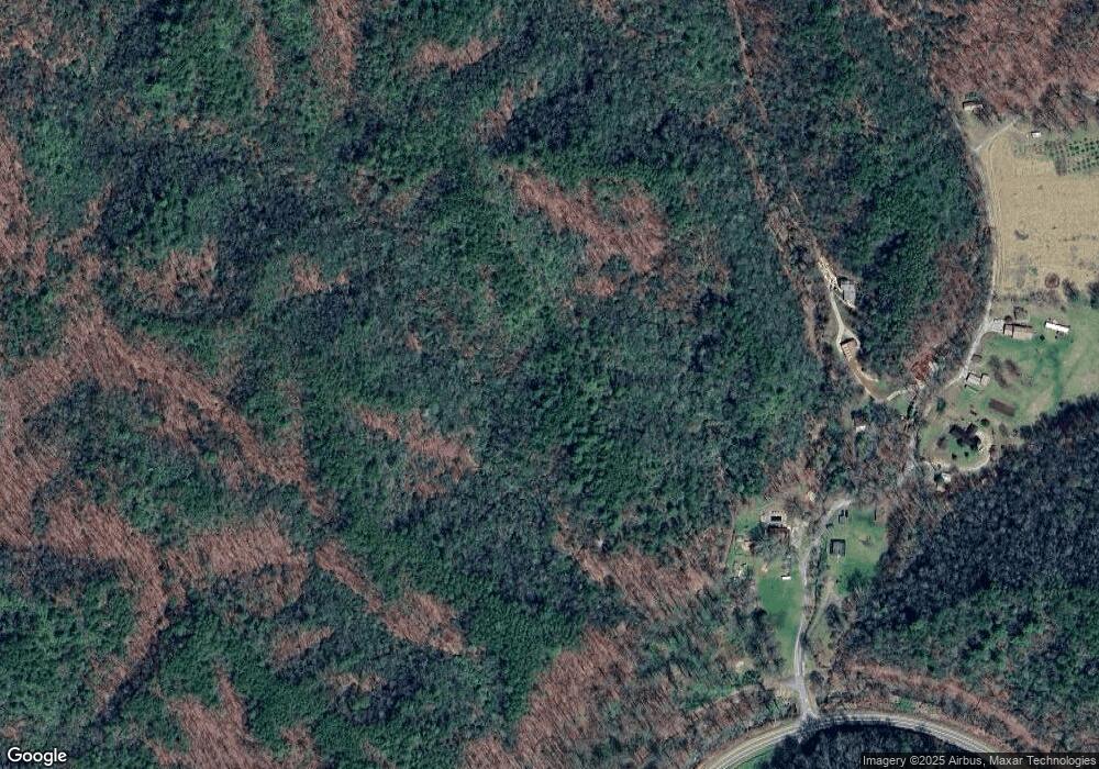
Map
Nearby Homes
- 21804 U S 19
- 45 Looking Glass Rd
- Lot 46 Ridge View Dr
- LT 170 Granny Squirrel Dr
- 34 Kadie Ln
- 1621 Granny Squirrel Dr
- Lot 34 Grandview Falls
- 6200 Tallulah Rd
- 119 Rhododenron
- 35 & 36 Cahill Dr
- 00 Cahill Dr
- 24 Cahill Dr
- Lot 51 Grand View Falls
- 221 Serenity Ridge Trail
- Lot 22 Laramie Heights
- 984 Cahill Dr
- 200 Conager Trail
- 56 Deer Run Rd
- 00
- 00 Deer Run - Lot 25
- 91 Bryson Branch Rd
- 42 Bryson Branch Rd
- 167 Bryson Branch Rd
- 250 Bryson Branch Rd
- 270 Bryson Branch Rd
- 142 Grassy Knob Rd
- 21718 U S 19
- 21718 Us 19
- 21760 Us 19
- 21755 Us 19
- 150 Red West Rd
- 249 Grassy Knob Rd
- 21145 Us 19
- 0 Us Hwy 19 &129
- 79 Red West Rd
- 20 Red West Rd
- 506 Stover Rd
- 20972 Us 19
- 20972 U S 19
- 250 Stover Rd