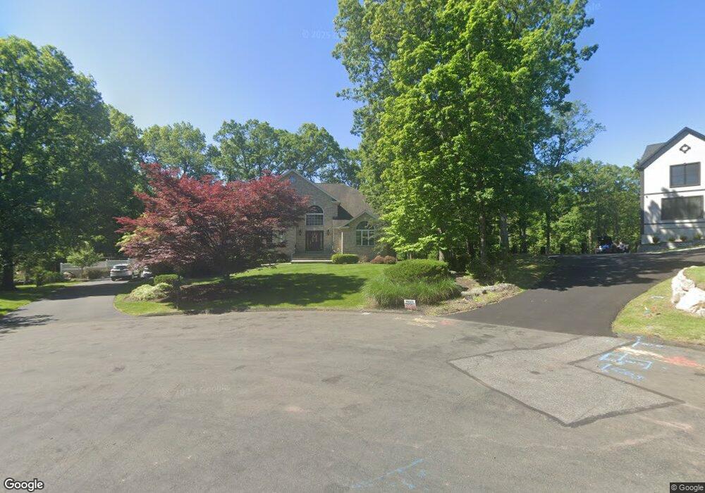
23 Perrins Peak Rd Stony Point, NY 10980
Estimated Value: $1,098,635 - $1,317,000
4
Beds
3
Baths
3,902
Sq Ft
$309/Sq Ft
Est. Value
About This Home
This home is located at 23 Perrins Peak Rd, Stony Point, NY 10980 and is currently estimated at $1,205,409, approximately $308 per square foot. 23 Perrins Peak Rd is a home located in Rockland County with nearby schools including James A. Farley Middle School, Stony Point Elementary School, and Fieldstone Secondary School.
Ownership History
Date
Name
Owned For
Owner Type
Purchase Details
Closed on
Nov 12, 1999
Sold by
Demaio Construction Corp
Bought by
Silva Rafael and Silva Laura
Current Estimated Value
Home Financials for this Owner
Home Financials are based on the most recent Mortgage that was taken out on this home.
Original Mortgage
$340,000
Outstanding Balance
$103,243
Interest Rate
7.68%
Estimated Equity
$1,102,166
Purchase Details
Closed on
Apr 1, 1999
Sold by
Tiorati Land Corp
Bought by
Demaio Construction Corp
Create a Home Valuation Report for This Property
The Home Valuation Report is an in-depth analysis detailing your home's value as well as a comparison with similar homes in the area
Home Values in the Area
Average Home Value in this Area
Purchase History
| Date | Buyer | Sale Price | Title Company |
|---|---|---|---|
| Silva Rafael | $538,676 | -- | |
| Demaio Construction Corp | $150,000 | Security Title & Guaranty Co |
Source: Public Records
Mortgage History
| Date | Status | Borrower | Loan Amount |
|---|---|---|---|
| Open | Silva Rafael | $340,000 |
Source: Public Records
Tax History Compared to Growth
Tax History
| Year | Tax Paid | Tax Assessment Tax Assessment Total Assessment is a certain percentage of the fair market value that is determined by local assessors to be the total taxable value of land and additions on the property. | Land | Improvement |
|---|---|---|---|---|
| 2024 | $28,640 | $85,000 | $13,000 | $72,000 |
| 2023 | $28,640 | $85,000 | $13,000 | $72,000 |
| 2022 | $7,810 | $85,000 | $13,000 | $72,000 |
| 2021 | $7,810 | $85,000 | $13,000 | $72,000 |
| 2020 | $20,980 | $85,000 | $13,000 | $72,000 |
| 2019 | $5,632 | $85,000 | $13,000 | $72,000 |
| 2018 | $20,442 | $85,000 | $13,000 | $72,000 |
| 2017 | $20,245 | $85,000 | $13,000 | $72,000 |
| 2016 | $20,872 | $85,000 | $13,000 | $72,000 |
| 2015 | -- | $85,000 | $13,000 | $72,000 |
| 2014 | -- | $85,000 | $13,000 | $72,000 |
Source: Public Records
Map
Nearby Homes
- 21 Perrins Peak Rd
- 25 Perrin's Peak Rd
- 24 Perrin's Peak Rd
- 19 Perrins Peak Rd
- 3 Gooler Ct
- 20 Perrins Peak Rd
- 289 Route 210
- 299 Route 210
- 18 Perrins Peak Rd
- 2 Gooler Ct
- 17 Perrins Peak Rd
- 4 Gooler Ct
- 9 Pymm Ct
- 16 Perrins Peak Rd
- 10 Pymm Ct
- 290 Route 210
- 5 Gooler Ct
- 14 Perrins Peak Rd
- 300 Route 210
- 9 Gooler Ct