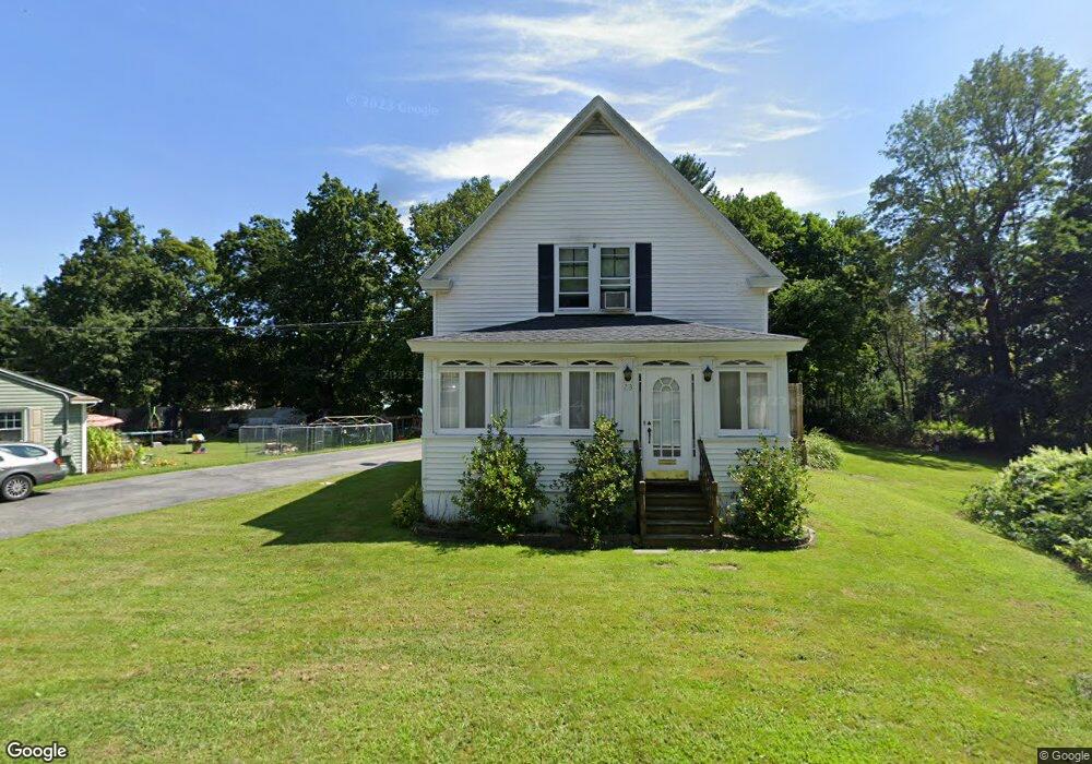
23 Prince St Oxford, MA 01540
Estimated Value: $351,000 - $421,000
3
Beds
1
Bath
1,166
Sq Ft
$340/Sq Ft
Est. Value
About This Home
This home is located at 23 Prince St, Oxford, MA 01540 and is currently estimated at $396,188, approximately $339 per square foot. 23 Prince St is a home located in Worcester County with nearby schools including Oxford High School, Alfred M Chaffee, and Clara Barton Elementary School.
Ownership History
Date
Name
Owned For
Owner Type
Purchase Details
Closed on
Jul 20, 2024
Sold by
Hassett Mark J and Hassett Karen B
Bought by
Hassett Ft and Hassett
Current Estimated Value
Purchase Details
Closed on
Oct 1, 1993
Sold by
Jodoin Wayne F and Jodoin Cynthia
Bought by
Hassett Mark J
Create a Home Valuation Report for This Property
The Home Valuation Report is an in-depth analysis detailing your home's value as well as a comparison with similar homes in the area
Home Values in the Area
Average Home Value in this Area
Purchase History
| Date | Buyer | Sale Price | Title Company |
|---|---|---|---|
| Hassett Ft | -- | None Available | |
| Hassett Ft | -- | None Available | |
| Hassett Mark J | $92,000 | -- | |
| Hassett Mark J | $92,000 | -- |
Source: Public Records
Mortgage History
| Date | Status | Borrower | Loan Amount |
|---|---|---|---|
| Previous Owner | Hassett Mark J | $143,600 | |
| Previous Owner | Hassett Mark J | $7,232 | |
| Previous Owner | Hassett Mark J | $29,800 |
Source: Public Records
Tax History Compared to Growth
Tax History
| Year | Tax Paid | Tax Assessment Tax Assessment Total Assessment is a certain percentage of the fair market value that is determined by local assessors to be the total taxable value of land and additions on the property. | Land | Improvement |
|---|---|---|---|---|
| 2025 | $40 | $312,800 | $94,100 | $218,700 |
| 2024 | $3,832 | $284,300 | $87,400 | $196,900 |
| 2023 | $3,889 | $285,100 | $78,000 | $207,100 |
| 2022 | $3,668 | $227,000 | $67,000 | $160,000 |
| 2021 | $3,433 | $207,700 | $63,500 | $144,200 |
| 2020 | $3,205 | $192,400 | $63,500 | $128,900 |
| 2019 | $2,791 | $163,900 | $63,300 | $100,600 |
| 2018 | $2,831 | $163,900 | $63,300 | $100,600 |
| 2017 | $2,834 | $168,200 | $63,300 | $104,900 |
| 2016 | $2,848 | $168,200 | $63,300 | $104,900 |
| 2015 | $2,656 | $168,200 | $63,300 | $104,900 |
| 2014 | $2,607 | $173,800 | $63,300 | $110,500 |
Source: Public Records
Map
Nearby Homes
- 397 Main St
- 5 Carlton Ct
- 7 Millbury Blvd
- 12 New St
- L0T 11 History Dr
- L0T 3 History Dr
- L0T 12 History Dr
- 6 Rawson Ave
- 18 Sutton Ave
- 11 Sutton Ave
- 9 Howarth Rd
- 1 Howarth Rd
- 15 Lind St
- 13 Plantation Rd Unit 13
- 4 Toria Heights Rd
- 0 Dana Rd
- 124 Charlton St Unit F
- 11 Lovett Rd
- 0 Federal Hill Rd Unit 73422286
- 36 Locust St