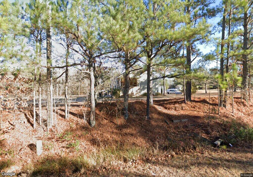
230 Hoover Rd Sanford, NC 27332
Estimated Value: $204,000 - $249,000
2
Beds
1
Bath
903
Sq Ft
$260/Sq Ft
Est. Value
About This Home
This home is located at 230 Hoover Rd, Sanford, NC 27332 and is currently estimated at $234,849, approximately $260 per square foot. 230 Hoover Rd is a home located in Harnett County with nearby schools including Benhaven Elementary School, Highland Middle School, and Western Harnett High School.
Ownership History
Date
Name
Owned For
Owner Type
Purchase Details
Closed on
May 5, 2021
Sold by
Lawson Aaron S and Lawson Michelle
Bought by
Dean Kevin O and Dean Malinda
Current Estimated Value
Home Financials for this Owner
Home Financials are based on the most recent Mortgage that was taken out on this home.
Original Mortgage
$130,000
Outstanding Balance
$98,421
Interest Rate
3.1%
Mortgage Type
New Conventional
Estimated Equity
$136,428
Purchase Details
Closed on
Mar 24, 2018
Sold by
Raykhlin Christopher and Raykhlin Arcady
Bought by
Lawson Aaron S and Lawson Michelle
Home Financials for this Owner
Home Financials are based on the most recent Mortgage that was taken out on this home.
Original Mortgage
$60,375
Interest Rate
4.4%
Mortgage Type
New Conventional
Purchase Details
Closed on
Dec 6, 2011
Sold by
Madsen Tracey Yvonne
Bought by
Porter Christopher J
Create a Home Valuation Report for This Property
The Home Valuation Report is an in-depth analysis detailing your home's value as well as a comparison with similar homes in the area
Home Values in the Area
Average Home Value in this Area
Purchase History
| Date | Buyer | Sale Price | Title Company |
|---|---|---|---|
| Dean Kevin O | $170,000 | None Available | |
| Lawson Aaron S | $80,500 | None Available | |
| Porter Christopher J | -- | None Available |
Source: Public Records
Mortgage History
| Date | Status | Borrower | Loan Amount |
|---|---|---|---|
| Open | Dean Kevin O | $130,000 | |
| Previous Owner | Lawson Aaron S | $60,375 |
Source: Public Records
Tax History Compared to Growth
Tax History
| Year | Tax Paid | Tax Assessment Tax Assessment Total Assessment is a certain percentage of the fair market value that is determined by local assessors to be the total taxable value of land and additions on the property. | Land | Improvement |
|---|---|---|---|---|
| 2025 | $1,268 | $166,389 | $0 | $0 |
| 2024 | $1,268 | $166,389 | $0 | $0 |
| 2023 | $1,268 | $166,389 | $0 | $0 |
| 2022 | $972 | $166,389 | $0 | $0 |
| 2021 | $972 | $103,120 | $0 | $0 |
| 2020 | $962 | $103,120 | $0 | $0 |
| 2019 | $947 | $103,120 | $0 | $0 |
| 2018 | $936 | $103,120 | $0 | $0 |
| 2017 | $936 | $103,120 | $0 | $0 |
| 2016 | $853 | $93,240 | $0 | $0 |
| 2015 | -- | $93,240 | $0 | $0 |
| 2014 | -- | $93,240 | $0 | $0 |
Source: Public Records
Map
Nearby Homes
- 92 Carter Dr
- 24 Carter Dr
- 655 Bullard Rd
- 667 Bullard Rd
- 691 Bullard Rd
- 48 Appleton Way
- 711 Bullard Rd
- 731 Bullard Rd
- 56 Briarwood Place
- 2 Christopher Dr
- 41 Andrea Ct
- 17246 Nc 27 W
- 739 Nicole Dr
- 806 Roberts Rd
- 20 Bluebird Ct
- 19 Ribbon Oak Ct
- 50 Ridgeway Ct
- 144 Vail Ct
- 119 Pinevalley Ln
- 146 Rolling Stone Ct