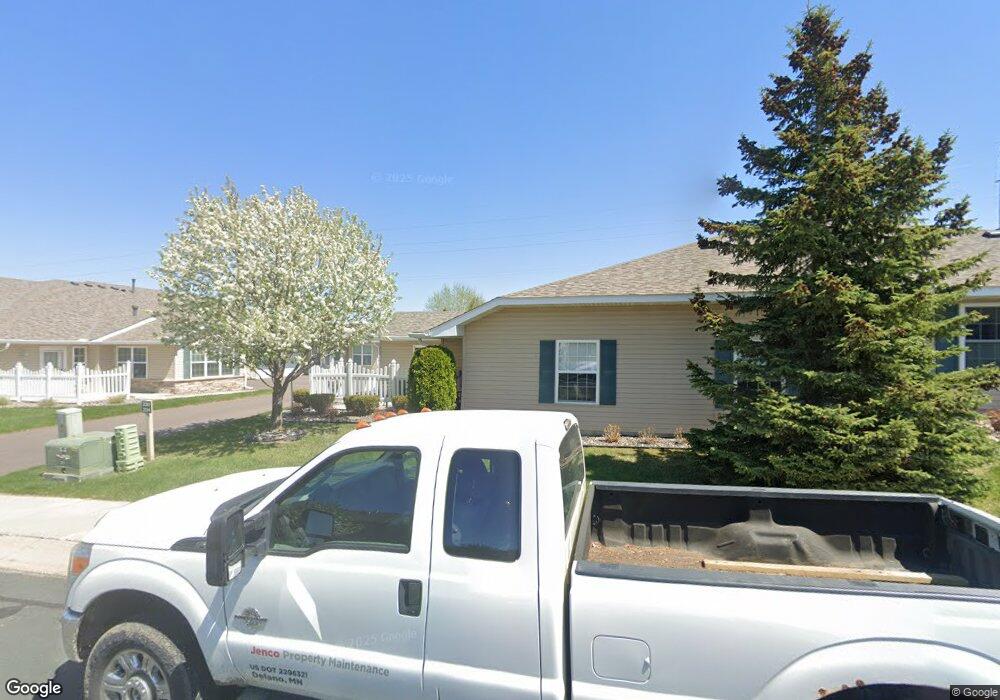
230 Kings Pointe Dr Delano, MN 55328
Estimated Value: $329,000 - $410,000
2
Beds
2
Baths
1,557
Sq Ft
$227/Sq Ft
Est. Value
About This Home
This home is located at 230 Kings Pointe Dr, Delano, MN 55328 and is currently estimated at $353,434, approximately $226 per square foot. 230 Kings Pointe Dr is a home located in Wright County with nearby schools including Delano Elementary School, Delano Middle School, and Delano Senior High School.
Ownership History
Date
Name
Owned For
Owner Type
Purchase Details
Closed on
May 14, 2021
Sold by
Tormanen Richard E and Tormanen Anne C
Bought by
Keranen Amy L and Tormanen Larry A
Current Estimated Value
Purchase Details
Closed on
Jan 15, 2016
Sold by
Theis Patricia and Theis Harold
Bought by
Tormanen Richard E and Tormanen Anne C
Purchase Details
Closed on
Oct 20, 2008
Sold by
Cottage Homesteads At Kings Pointe Llc
Bought by
Theis Harold and Theis Patricia
Create a Home Valuation Report for This Property
The Home Valuation Report is an in-depth analysis detailing your home's value as well as a comparison with similar homes in the area
Home Values in the Area
Average Home Value in this Area
Purchase History
| Date | Buyer | Sale Price | Title Company |
|---|---|---|---|
| Keranen Amy L | -- | None Available | |
| Tormanen Richard E | $220,000 | Title Mark Llc | |
| Theis Harold | $194,000 | -- |
Source: Public Records
Tax History Compared to Growth
Tax History
| Year | Tax Paid | Tax Assessment Tax Assessment Total Assessment is a certain percentage of the fair market value that is determined by local assessors to be the total taxable value of land and additions on the property. | Land | Improvement |
|---|---|---|---|---|
| 2025 | $3,572 | $322,000 | $32,000 | $290,000 |
| 2024 | $3,608 | $311,200 | $31,000 | $280,200 |
| 2023 | $3,478 | $318,600 | $31,000 | $287,600 |
| 2022 | $3,582 | $284,600 | $31,000 | $253,600 |
| 2021 | $3,460 | $259,200 | $26,000 | $233,200 |
| 2020 | $3,542 | $249,300 | $26,000 | $223,300 |
| 2019 | $3,446 | $244,400 | $0 | $0 |
| 2018 | $3,082 | $215,500 | $0 | $0 |
| 2017 | $2,870 | $190,800 | $0 | $0 |
| 2016 | $2,892 | $0 | $0 | $0 |
| 2015 | $2,250 | $0 | $0 | $0 |
| 2014 | -- | $0 | $0 | $0 |
Source: Public Records
Map
Nearby Homes
- 932 Crossing Way
- 257 6th St NW
- 1234 Willowbrook Cir
- 1257 Willowbrook Cir
- 428 Saint Peter Ave E
- 108 Shadywood Ln
- 1216 Northwood Dr
- 9560 Us Highway 12
- 120 2nd St N
- xxxx Lincoln St
- 327 4th St N
- 316 2nd St N
- 9414 U S 12
- 1401 Woods Creek Dr
- 986 Eastwood Cir
- 679 Marsh Dr
- 1157 Woods Creek Dr
- 916 Big Woods Dr
- 1170 Woods Creek Dr S
- 897 Big Woods Dr
- 212 Kings Pointe Dr
- 236 Kings Pointe Dr
- 224 Kings Pointe Dr
- 408 8th St S
- 218 Kings Pointe Dr
- 242 Kings Pointe Dr
- 227 Kings Pointe Dr
- 233 Kings Pointe Dr
- 206 Kings Pointe Dr
- 254 Kings Pointe Dr
- 209 Kings Pointe Dr
- 200 Kings Pointe Dr
- 248 Kings Pointe Dr
- 251 Kings Pointe Dr
- 260 Kings Pointe Dr
- 221 Kings Pointe Dr
- 257 Kings Pointe Dr
- 239 Kings Pointe Dr
- 266 Kings Pointe Dr
- 215 Kings Pointe Dr