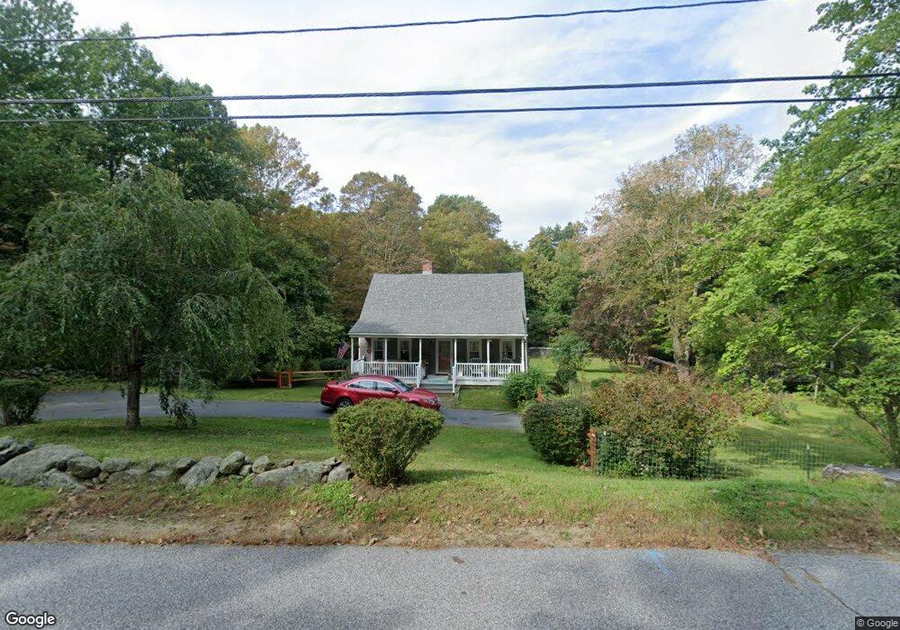
230 Washington St Warren, MA 01083
Estimated Value: $297,874 - $422,000
2
Beds
1
Bath
1,626
Sq Ft
$219/Sq Ft
Est. Value
About This Home
This home is located at 230 Washington St, Warren, MA 01083 and is currently estimated at $355,719, approximately $218 per square foot. 230 Washington St is a home with nearby schools including Quaboag Regional High School.
Ownership History
Date
Name
Owned For
Owner Type
Purchase Details
Closed on
Nov 30, 2018
Sold by
Hawk James M and Hawk Carol A
Bought by
Hawk Jeremiah D
Current Estimated Value
Purchase Details
Closed on
Jan 27, 1995
Sold by
Hall Ransom F and Hall Brenda
Bought by
Hawk James and Hawk Carol
Home Financials for this Owner
Home Financials are based on the most recent Mortgage that was taken out on this home.
Original Mortgage
$97,850
Interest Rate
9.24%
Mortgage Type
Purchase Money Mortgage
Create a Home Valuation Report for This Property
The Home Valuation Report is an in-depth analysis detailing your home's value as well as a comparison with similar homes in the area
Home Values in the Area
Average Home Value in this Area
Purchase History
| Date | Buyer | Sale Price | Title Company |
|---|---|---|---|
| Hawk Jeremiah D | -- | -- | |
| Hawk James | $103,000 | -- |
Source: Public Records
Mortgage History
| Date | Status | Borrower | Loan Amount |
|---|---|---|---|
| Previous Owner | Hawk James | $72,300 | |
| Previous Owner | Hawk James | $96,700 | |
| Previous Owner | Hawk James | $97,850 | |
| Previous Owner | Hawk James | $81,500 |
Source: Public Records
Tax History Compared to Growth
Tax History
| Year | Tax Paid | Tax Assessment Tax Assessment Total Assessment is a certain percentage of the fair market value that is determined by local assessors to be the total taxable value of land and additions on the property. | Land | Improvement |
|---|---|---|---|---|
| 2025 | $3,996 | $269,800 | $76,500 | $193,300 |
| 2024 | $4,066 | $269,800 | $76,500 | $193,300 |
| 2023 | $4,005 | $253,500 | $76,500 | $177,000 |
| 2022 | $2,869 | $184,400 | $28,200 | $156,200 |
| 2021 | $2,817 | $176,500 | $26,700 | $149,800 |
| 2020 | $2,847 | $165,900 | $26,700 | $139,200 |
| 2019 | $2,853 | $157,200 | $26,600 | $130,600 |
| 2018 | $2,723 | $157,200 | $26,600 | $130,600 |
| 2017 | $2,682 | $144,500 | $27,600 | $116,900 |
| 2016 | $2,752 | $138,700 | $26,400 | $112,300 |
| 2015 | $2,483 | $132,400 | $26,400 | $106,000 |
| 2014 | $2,508 | $131,300 | $26,400 | $104,900 |
Source: Public Records
Map
Nearby Homes
- 29 Liberty St
- 152 Southbridge Rd Unit 3D
- 124 Southbridge Rd
- Lot 8 Southbridge Rd
- LOT 7 Southbridge Rd
- 58 Nelson St
- 82 Comins Pond Rd
- 366 Southbridge Rd
- Lot 4 Brimfield Rd
- 35 Bacon St
- 72 Maple St
- 17 Otis St
- 59 High St
- 170 Bridge St
- Lot 5 Brimfield Rd
- Lot 3 Brimfield Rd
- Lot 4 Reed St
- Lot 7 Reed St
- 0 Town Farm Rd
- 940 Old West Brookfield Rd
- 227 Washington St
- 253 Washington St
- 233 Washington St
- 293 Washington St
- 0 Washington St
- Lot 3 Washington St
- 250 Washington
- 250 Washington St
- 124 Burbank Ave
- 114 Burbank Ave
- 213 Washington St
- 197 East Rd
- 175 East Rd
- 129 Burbank Ave
- 219 East Rd
- 84 Burbank Ave
- 99 Burbank Ave
- 159 East Rd
- 300 Washington St
- 210 East Rd