230 West St Milford, MA 01757
Estimated Value: $281,000 - $430,000
3
Beds
2
Baths
1,257
Sq Ft
$303/Sq Ft
Est. Value
About This Home
This home is located at 230 West St, Milford, MA 01757 and is currently estimated at $381,038, approximately $303 per square foot. 230 West St is a home located in Worcester County with nearby schools including Milford High School.
Ownership History
Date
Name
Owned For
Owner Type
Purchase Details
Closed on
Oct 8, 2010
Sold by
Ghelli Lawrence G and Ghelli Catherine M
Bought by
Laprad Monica and Ghelli Tina
Current Estimated Value
Purchase Details
Closed on
Dec 3, 2001
Sold by
Jodrey David Michael
Bought by
Antinarelli Peter
Purchase Details
Closed on
Feb 7, 1989
Sold by
Richards A J
Bought by
Richards Arthur
Create a Home Valuation Report for This Property
The Home Valuation Report is an in-depth analysis detailing your home's value as well as a comparison with similar homes in the area
Home Values in the Area
Average Home Value in this Area
Purchase History
| Date | Buyer | Sale Price | Title Company |
|---|---|---|---|
| Laprad Monica | -- | -- | |
| Antinarelli Peter | $70,000 | -- | |
| Richards Arthur | $10,000 | -- |
Source: Public Records
Mortgage History
| Date | Status | Borrower | Loan Amount |
|---|---|---|---|
| Previous Owner | Richards Arthur | $89,300 | |
| Previous Owner | Richards Arthur | $90,000 | |
| Previous Owner | Richards Arthur | $97,500 | |
| Previous Owner | Richards Arthur | $75,000 |
Source: Public Records
Tax History Compared to Growth
Tax History
| Year | Tax Paid | Tax Assessment Tax Assessment Total Assessment is a certain percentage of the fair market value that is determined by local assessors to be the total taxable value of land and additions on the property. | Land | Improvement |
|---|---|---|---|---|
| 2025 | $3,636 | $284,100 | $152,700 | $131,400 |
| 2024 | $3,684 | $277,200 | $145,800 | $131,400 |
| 2023 | $3,458 | $239,300 | $122,900 | $116,400 |
| 2022 | $3,383 | $219,800 | $112,500 | $107,300 |
| 2021 | $3,170 | $198,400 | $112,500 | $85,900 |
| 2020 | $4,402 | $191,700 | $112,500 | $79,200 |
| 2019 | $3,019 | $182,500 | $112,500 | $70,000 |
| 2018 | $4,020 | $177,200 | $107,200 | $70,000 |
| 2017 | $6,237 | $155,700 | $107,200 | $48,500 |
| 2016 | $3,694 | $145,300 | $96,800 | $48,500 |
| 2015 | $2,489 | $141,800 | $93,300 | $48,500 |
Source: Public Records
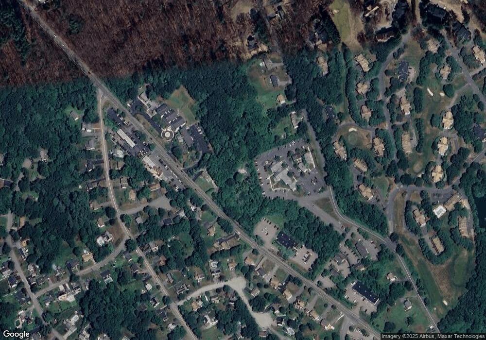
Map
Nearby Homes
- 8 Country Club Ln Unit B
- 14 Country Club Ln Unit C
- 0 West St
- 33 Country Club Ln Unit D
- 14 C Country Club Ln
- 9 Hancock St
- 76 Jones Rd
- 130 Dutcher St
- 94 Highland St
- 15 Tammie Rd
- 175 West St
- 101 Jones Rd Unit 101
- 104 Jones Rd
- 5 Stanford Cir
- 7 Highland St
- 8 Vassar Dr
- 20 Senate Rd
- 7 Madden Ave
- 1 Godfrey Ln Unit 1
- 59 Lawrence St
- 233 West St
- 12 Asylum St Unit 105
- 12 Asylum St Unit 12
- 12 Asylum St
- 26 Asylum St Unit G1
- 226 West St
- 20 Asylum St
- 20 Asylum St Unit AB,ABCD
- 20 Asylum St Unit ABCD
- 224 West St
- 30 Asylum St
- 222 West St
- 3 Sandy Hill Rd
- 232 West St
- 32 Asylum St
- 16 Asylum St Unit F1
- 18 Asylum St
- 14 Asylum St Unit F2A
- 14 Asylum St Unit F2B
- 22 Asylum St