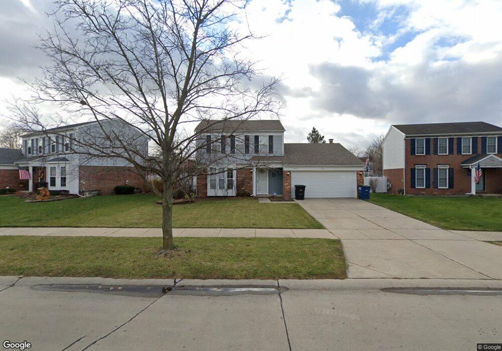
231 Bedford Dr Westland, MI 48185
Estimated Value: $292,000 - $325,000
--
Bed
1
Bath
1,386
Sq Ft
$222/Sq Ft
Est. Value
About This Home
This home is located at 231 Bedford Dr, Westland, MI 48185 and is currently estimated at $307,861, approximately $222 per square foot. 231 Bedford Dr is a home located in Wayne County with nearby schools including Wildwood Elementary School, Marshall Upper Elementary School, and Adlai Stevenson Middle School.
Ownership History
Date
Name
Owned For
Owner Type
Purchase Details
Closed on
Dec 5, 2006
Sold by
Downey Erin M and Downey Erin
Bought by
Downey Robert P S
Current Estimated Value
Home Financials for this Owner
Home Financials are based on the most recent Mortgage that was taken out on this home.
Original Mortgage
$151,200
Outstanding Balance
$89,797
Interest Rate
6.19%
Mortgage Type
New Conventional
Estimated Equity
$218,064
Purchase Details
Closed on
Jun 11, 2003
Sold by
Erickson Keith M and Erickson Cynthia L
Bought by
Downey Robert P S
Create a Home Valuation Report for This Property
The Home Valuation Report is an in-depth analysis detailing your home's value as well as a comparison with similar homes in the area
Home Values in the Area
Average Home Value in this Area
Purchase History
| Date | Buyer | Sale Price | Title Company |
|---|---|---|---|
| Downey Robert P S | -- | Multiple | |
| Downey Robert P S | $190,000 | Capital Title Ins Agency |
Source: Public Records
Mortgage History
| Date | Status | Borrower | Loan Amount |
|---|---|---|---|
| Open | Downey Robert P S | $151,200 |
Source: Public Records
Tax History Compared to Growth
Tax History
| Year | Tax Paid | Tax Assessment Tax Assessment Total Assessment is a certain percentage of the fair market value that is determined by local assessors to be the total taxable value of land and additions on the property. | Land | Improvement |
|---|---|---|---|---|
| 2025 | $2,694 | $139,800 | $0 | $0 |
| 2024 | $2,694 | $128,300 | $0 | $0 |
| 2023 | $2,573 | $119,600 | $0 | $0 |
| 2022 | $3,003 | $103,300 | $0 | $0 |
| 2021 | $2,928 | $96,900 | $0 | $0 |
| 2020 | $2,896 | $88,100 | $0 | $0 |
| 2019 | $2,791 | $87,300 | $0 | $0 |
| 2018 | $2,116 | $80,700 | $0 | $0 |
| 2017 | $1,015 | $76,100 | $0 | $0 |
| 2016 | $2,709 | $72,800 | $0 | $0 |
| 2015 | $5,239 | $64,460 | $0 | $0 |
| 2013 | $5,075 | $53,000 | $0 | $0 |
| 2012 | $2,196 | $50,840 | $0 | $0 |
Source: Public Records
Map
Nearby Homes
- 540 Dartmouth Crescent Ct
- 788 N Linville St
- 977 N Newburgh Rd
- 36034 Rolf St
- 37575 Barkridge Cir Unit 54
- 639 N Harvey St
- 404 N Sybald St
- 36323 Monroe Ave
- 36293 Monroe Ave
- 36020 Glen St
- 35228 Rosslyn St
- 36231 Hazelwood St
- 35720 Glen St
- 38074 Hixford Place
- 511 S Bryar St
- 1519 S Dowling St
- 35052 Cherry Hill Rd
- 336 Marigold Cir Unit 45
- 38122 Hixford Place
- 284 Marigold Cir Unit 17
- 201 Bedford Dr
- 261 Bedford Dr
- 230 Larchmont Dr
- 200 Larchmont Dr
- 291 Bedford Dr
- 36864 Ravenwood Dr
- 36852 Ravenwood Dr
- 260 Larchmont Dr
- 36876 Ravenwood Dr
- 290 Bedford Dr
- 290 Larchmont Dr
- 321 Bedford Dr
- 250 Bedford Dr
- 36888 Ravenwood Dr
- 220 Bedford Dr
- 190 Bedford Dr
- 320 Larchmont Dr
- 320 Bedford Dr
- 160 Bedford Dr
- 351 Bedford Dr