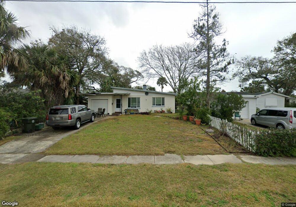
231 Brookline Ave Daytona Beach, FL 32118
Estimated Value: $236,000 - $273,000
2
Beds
1
Bath
1,020
Sq Ft
$245/Sq Ft
Est. Value
About This Home
This home is located at 231 Brookline Ave, Daytona Beach, FL 32118 and is currently estimated at $249,796, approximately $244 per square foot. 231 Brookline Ave is a home located in Volusia County with nearby schools including Campbell Middle School, Seabreeze High School, and Lourdes Academy.
Ownership History
Date
Name
Owned For
Owner Type
Purchase Details
Closed on
Nov 30, 2000
Sold by
Hilditch Alisa Gayle and Wright Alisa Gayle
Bought by
Spoor Peter L
Current Estimated Value
Home Financials for this Owner
Home Financials are based on the most recent Mortgage that was taken out on this home.
Original Mortgage
$66,500
Outstanding Balance
$24,524
Interest Rate
7.71%
Mortgage Type
Purchase Money Mortgage
Estimated Equity
$225,272
Purchase Details
Closed on
Aug 15, 1992
Bought by
Spoor Peter L
Purchase Details
Closed on
Jul 15, 1970
Bought by
Spoor Peter L
Create a Home Valuation Report for This Property
The Home Valuation Report is an in-depth analysis detailing your home's value as well as a comparison with similar homes in the area
Home Values in the Area
Average Home Value in this Area
Purchase History
| Date | Buyer | Sale Price | Title Company |
|---|---|---|---|
| Spoor Peter L | $70,000 | -- | |
| Spoor Peter L | $50,000 | -- | |
| Spoor Peter L | $14,500 | -- |
Source: Public Records
Mortgage History
| Date | Status | Borrower | Loan Amount |
|---|---|---|---|
| Open | Spoor Peter L | $66,500 |
Source: Public Records
Tax History Compared to Growth
Tax History
| Year | Tax Paid | Tax Assessment Tax Assessment Total Assessment is a certain percentage of the fair market value that is determined by local assessors to be the total taxable value of land and additions on the property. | Land | Improvement |
|---|---|---|---|---|
| 2025 | $685 | $85,467 | -- | -- |
| 2024 | $685 | $83,059 | -- | -- |
| 2023 | $685 | $80,640 | $0 | $0 |
| 2022 | $651 | $78,291 | $0 | $0 |
| 2021 | $648 | $76,011 | $0 | $0 |
| 2020 | $631 | $74,962 | $0 | $0 |
| 2019 | $633 | $73,277 | $0 | $0 |
| 2018 | $647 | $71,911 | $0 | $0 |
| 2017 | $663 | $70,432 | $0 | $0 |
| 2016 | $687 | $68,983 | $0 | $0 |
| 2015 | $717 | $68,503 | $0 | $0 |
| 2014 | $722 | $67,959 | $0 | $0 |
Source: Public Records
Map
Nearby Homes
- 238 Morningside Ave
- 215 Woodland Ave
- 268 Hartford Ave
- 224 Boylston Ave
- 1619 N Halifax Ave
- 400 Auburn Dr Unit 3
- 1608 N Halifax Ave
- 2404 N Halifax Ave
- 311 Pelican Ave
- 376 Williams Ave
- 0 Pelican Ave
- 1517 N Halifax Ave
- 2596 Tulane Ave Unit 4
- 2101 N Atlantic Ave Unit 10
- 2101 N Atlantic Ave Unit 1
- 2300 N Atlantic Ave Unit 203
- 2300 N Atlantic Ave Unit 1701
- 2300 N Atlantic Ave Unit 1402
- 2300 N Atlantic Ave Unit 303
- 2200 N Atlantic Ave Unit 1602
- 235 Brookline Ave
- 223 Brookline Ave
- 243 Brookline Ave
- 242 Morningside Ave
- 246 Morningside Ave
- 234 Morningside Ave
- 215 Brookline Ave
- 226 Brookline Ave
- 256 Morningside Ave
- 247 Brookline Ave
- 240 Brookline Ave
- 222 Brookline Ave
- 226 Morningside Ave
- 220 Brookline Ave
- 244 Brookline Ave
- 251 Brookline Ave
- 260 Morningside Ave
- 207 Brookline Ave
- 248 Brookline Ave
- 216 Brookline Ave