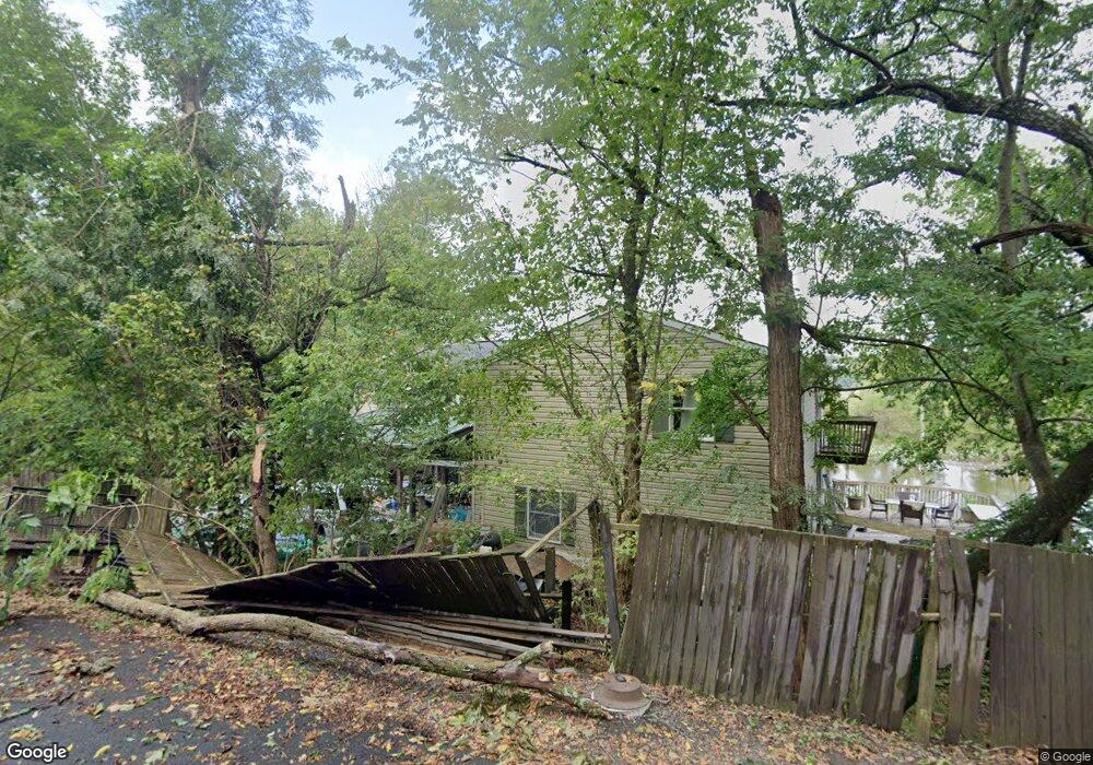
231 Coal Landing Rd Stafford, VA 22554
Estimated Value: $566,000 - $618,000
2
Beds
5
Baths
3,192
Sq Ft
$187/Sq Ft
Est. Value
About This Home
This home is located at 231 Coal Landing Rd, Stafford, VA 22554 and is currently estimated at $595,951, approximately $186 per square foot. 231 Coal Landing Rd is a home located in Stafford County with nearby schools including Stafford Elementary School, Stafford Middle School, and Brooke Point High School.
Ownership History
Date
Name
Owned For
Owner Type
Purchase Details
Closed on
Aug 18, 1999
Sold by
Hohman David R
Bought by
Gollahon Robert S
Current Estimated Value
Home Financials for this Owner
Home Financials are based on the most recent Mortgage that was taken out on this home.
Original Mortgage
$107,100
Outstanding Balance
$30,657
Interest Rate
7.6%
Estimated Equity
$565,294
Create a Home Valuation Report for This Property
The Home Valuation Report is an in-depth analysis detailing your home's value as well as a comparison with similar homes in the area
Home Values in the Area
Average Home Value in this Area
Purchase History
| Date | Buyer | Sale Price | Title Company |
|---|---|---|---|
| Gollahon Robert S | $125,000 | -- |
Source: Public Records
Mortgage History
| Date | Status | Borrower | Loan Amount |
|---|---|---|---|
| Open | Gollahon Robert S | $107,100 |
Source: Public Records
Tax History Compared to Growth
Tax History
| Year | Tax Paid | Tax Assessment Tax Assessment Total Assessment is a certain percentage of the fair market value that is determined by local assessors to be the total taxable value of land and additions on the property. | Land | Improvement |
|---|---|---|---|---|
| 2025 | $4,897 | $540,100 | $125,000 | $415,100 |
| 2024 | $4,897 | $540,100 | $125,000 | $415,100 |
| 2023 | $4,756 | $503,300 | $105,000 | $398,300 |
| 2022 | $4,278 | $503,300 | $105,000 | $398,300 |
| 2021 | $4,492 | $463,100 | $105,000 | $358,100 |
| 2020 | $4,492 | $463,100 | $105,000 | $358,100 |
| 2019 | $2,333 | $231,000 | $105,000 | $126,000 |
| 2018 | $2,287 | $231,000 | $105,000 | $126,000 |
| 2017 | $2,113 | $213,400 | $105,000 | $108,400 |
| 2016 | $2,113 | $213,400 | $105,000 | $108,400 |
| 2015 | -- | $205,800 | $105,000 | $100,800 |
| 2014 | -- | $205,800 | $105,000 | $100,800 |
Source: Public Records
Map
Nearby Homes
- 101 Pilgrim Cove
- 4 Endicott Ln
- N/A Buttgens Ln
- 1032 Isabella Dr
- 270 Olde Concord Rd
- 1019 Isabella Dr
- 103 Portugal Cove
- 63 Confederate Way
- 40 Smokewood Ct Unit 200
- 15 Fern Oak Cir Unit 15202
- 41 Smokewood Ct Unit 200
- 21 Kennesaw Dr
- 1137 Columbus Dr
- 1123 Columbus Dr
- 405 Hatchers Run Ct
- 321 Raft Cove
- 3 Antietam Loop
- 610 Sedgwick Ct
- 3016 Lusitania Dr
- 3221 Titanic Dr
- 222 Coal Landing Rd
- 241 Coal Landing Rd
- 153 Starboard Cove
- 155 Starboard Cove
- 151 Starboard Cove
- 157 Starboard Cove
- 159 Starboard Cove
- 212 Coal Landing Rd
- 149 Starboard Cove
- 161 Starboard Cove
- 252 Coal Landing Rd
- 163 Starboard Cove
- 147 Starboard Cove
- 160 Starboard Cove
- 162 Starboard Cove
- 164 Starboard Cove
- 165 Starboard Cove
- 158 Starboard Cove
- 166 Starboard Cove
- 271 Coal Landing Rd