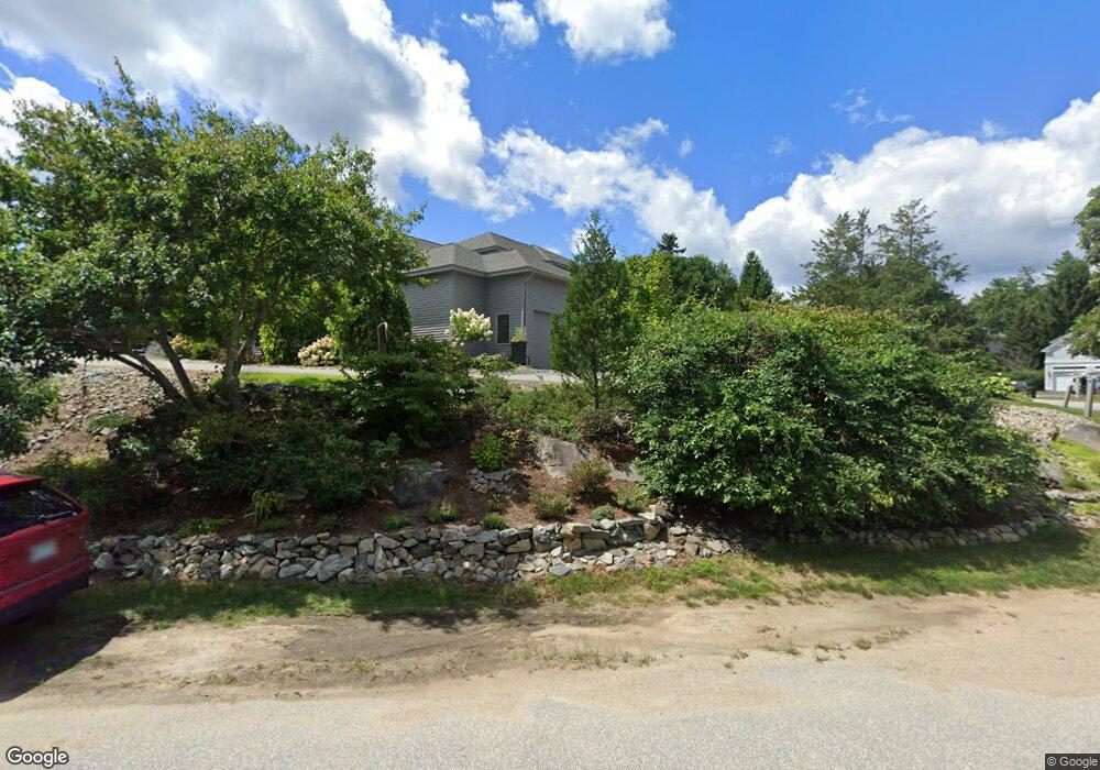
231 Cushing Rd Newmarket, NH 03857
Estimated Value: $815,000 - $878,915
3
Beds
3
Baths
2,320
Sq Ft
$362/Sq Ft
Est. Value
About This Home
This home is located at 231 Cushing Rd, Newmarket, NH 03857 and is currently estimated at $840,479, approximately $362 per square foot. 231 Cushing Rd is a home located in Rockingham County with nearby schools including Newmarket Elementary School, Newmarket Junior High School, and Newmarket Senior High School.
Ownership History
Date
Name
Owned For
Owner Type
Purchase Details
Closed on
Oct 13, 2015
Sold by
Richard K Ormrod Ret and Ormrod Richard K
Bought by
Hibert Cynthia W
Current Estimated Value
Home Financials for this Owner
Home Financials are based on the most recent Mortgage that was taken out on this home.
Original Mortgage
$204,000
Outstanding Balance
$160,505
Interest Rate
3.88%
Estimated Equity
$679,974
Create a Home Valuation Report for This Property
The Home Valuation Report is an in-depth analysis detailing your home's value as well as a comparison with similar homes in the area
Home Values in the Area
Average Home Value in this Area
Purchase History
| Date | Buyer | Sale Price | Title Company |
|---|---|---|---|
| Hibert Cynthia W | $304,000 | -- |
Source: Public Records
Mortgage History
| Date | Status | Borrower | Loan Amount |
|---|---|---|---|
| Open | Hibert Cynthia W | $204,000 |
Source: Public Records
Tax History Compared to Growth
Tax History
| Year | Tax Paid | Tax Assessment Tax Assessment Total Assessment is a certain percentage of the fair market value that is determined by local assessors to be the total taxable value of land and additions on the property. | Land | Improvement |
|---|---|---|---|---|
| 2024 | $13,457 | $782,400 | $0 | $782,400 |
| 2023 | $11,713 | $397,200 | $0 | $397,200 |
| 2022 | $10,720 | $397,200 | $0 | $397,200 |
| 2021 | $10,470 | $397,200 | $0 | $397,200 |
| 2020 | $10,113 | $397,200 | $0 | $397,200 |
| 2018 | $8,202 | $280,500 | $0 | $280,500 |
| 2017 | $7,498 | $280,500 | $0 | $280,500 |
| 2016 | $7,747 | $304,400 | $0 | $304,400 |
| 2015 | $7,598 | $304,400 | $0 | $304,400 |
| 2014 | $7,838 | $304,400 | $0 | $304,400 |
| 2013 | $7,504 | $306,800 | $0 | $306,800 |
| 2012 | $7,262 | $306,800 | $0 | $306,800 |
Source: Public Records
Map
Nearby Homes
- 2 Osprey Ln
- 85 Princeton St
- 23 Columbia Dr
- 90 Colgate Rd
- 54 Brookside Dr
- 5 Brookside Dr
- 125 Main St Unit 39
- 2 Chapel St
- 13 Moonlight Dr
- 16 Railroad St
- 39 Glengarry Dr
- 4 Kildary Dr
- 16 Bennett Way
- 34 Kinloch Dr
- 325 Lita Ln
- 24 Lilac Ln
- 30 Honeycomb Way
- 141 Dearborn Rd
- 0 Pear Tree Ln Unit 9
- 0 Pear Tree Ln Unit 10
- 231 Cushing Rd Unit 231
- 230 Cushing Rd
- 231 Cushing Rd Unit 7-4A
- 232 Cushing Rd
- 229 Cushing Rd
- 235 Cushing Rd
- 233 Cushing Rd
- 228 Cushing Rd
- 228 Cushing Rd Unit 1
- 227 Cushing Rd
- 226 Cushing Rd
- 226 Cushing Rd Unit C
- 237 Cushing Rd
- 225 Cushing Rd
- 236 Cushing Rd
- 224 Cushing Rd
- 224 Cushing Rd Unit 224-B
- 224 Cushing Rd Unit 224-B
- 224 Cushing Rd Unit B
- 1 Osprey Ln