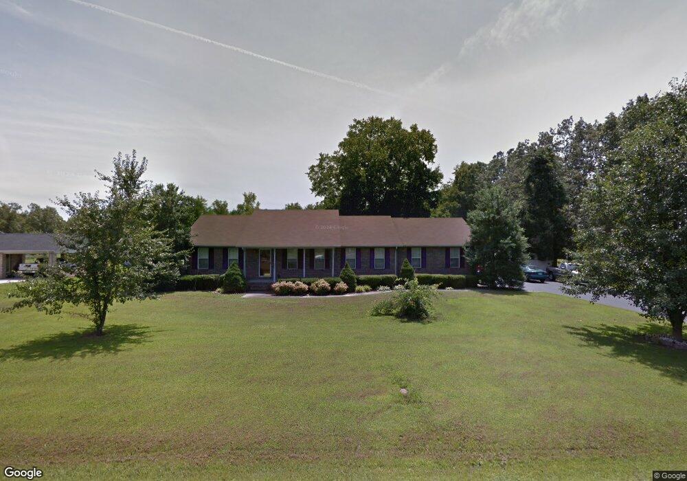
231 Dale Dr Manchester, TN 37355
Estimated Value: $324,000 - $396,000
4
Beds
2
Baths
2,268
Sq Ft
$159/Sq Ft
Est. Value
About This Home
This home is located at 231 Dale Dr, Manchester, TN 37355 and is currently estimated at $361,639, approximately $159 per square foot. 231 Dale Dr is a home located in Coffee County with nearby schools including East Coffee Elementary School, Coffee County Middle School, and Coffee County Central High School.
Ownership History
Date
Name
Owned For
Owner Type
Purchase Details
Closed on
Jan 21, 2006
Bought by
Hammox Wesley E
Current Estimated Value
Purchase Details
Closed on
Oct 3, 2002
Sold by
Umbarger David M
Bought by
Hammox Wesley E and Hammox Carolyn
Purchase Details
Closed on
May 15, 1995
Bought by
Umbarger David M
Purchase Details
Closed on
Oct 26, 1992
Bought by
Umbarger David Mitchell Etvir Rhonda C
Purchase Details
Closed on
Aug 11, 1989
Bought by
Tabor Mark P and Tabor Tracey
Purchase Details
Closed on
Apr 21, 1989
Create a Home Valuation Report for This Property
The Home Valuation Report is an in-depth analysis detailing your home's value as well as a comparison with similar homes in the area
Home Values in the Area
Average Home Value in this Area
Purchase History
| Date | Buyer | Sale Price | Title Company |
|---|---|---|---|
| Hammox Wesley E | -- | -- | |
| Hammox Wesley E | $105,000 | -- | |
| Umbarger David M | -- | -- | |
| Umbarger David Mitchell Etvir Rhonda C | $74,000 | -- | |
| Tabor Mark P | $3,500 | -- | |
| -- | $3,500 | -- |
Source: Public Records
Tax History Compared to Growth
Tax History
| Year | Tax Paid | Tax Assessment Tax Assessment Total Assessment is a certain percentage of the fair market value that is determined by local assessors to be the total taxable value of land and additions on the property. | Land | Improvement |
|---|---|---|---|---|
| 2024 | $1,104 | $47,375 | $3,750 | $43,625 |
| 2023 | $1,104 | $47,375 | $0 | $0 |
| 2022 | $987 | $47,375 | $3,750 | $43,625 |
| 2021 | $987 | $35,400 | $2,500 | $32,900 |
| 2020 | $987 | $35,400 | $2,500 | $32,900 |
| 2019 | $987 | $35,400 | $2,500 | $32,900 |
| 2018 | $987 | $35,400 | $2,500 | $32,900 |
| 2017 | $987 | $30,250 | $1,250 | $29,000 |
| 2016 | $987 | $30,250 | $1,250 | $29,000 |
| 2015 | $987 | $30,250 | $1,250 | $29,000 |
| 2014 | $987 | $30,245 | $0 | $0 |
Source: Public Records
Map
Nearby Homes
- 837 Circle Dr
- 781 Circle Dr
- 2635 Pete Sain Rd
- 670 Old McMinnville Hwy
- 4282 McMinnville Hwy Unit 4270
- 363 Willow Brook Dr
- 300 Willow Brook Dr
- 0 Pete Sain Rd
- 3313 McMinnville Hwy
- 667 Pete Sain Rd
- 1270 Taylor Rd
- 499 Ridgewood Dr
- 166 Keele Rd
- 621 Brandon Rd
- 2498 Sp Anderson Rd
- 493 Maple Springs Rd
- 2315 Ragsdale Rd
- 676 Riddle Rd
- 304 W Lynn Dr
- 106 Grandview Dr