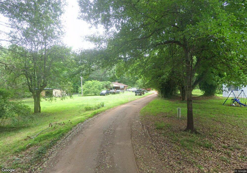
231 Neal Rd Spartanburg, SC 29307
Estimated Value: $191,000 - $225,131
3
Beds
2
Baths
1,368
Sq Ft
$151/Sq Ft
Est. Value
About This Home
This home is located at 231 Neal Rd, Spartanburg, SC 29307 and is currently estimated at $207,033, approximately $151 per square foot. 231 Neal Rd is a home located in Spartanburg County with nearby schools including Broome High School.
Ownership History
Date
Name
Owned For
Owner Type
Purchase Details
Closed on
Sep 26, 2006
Sold by
Sharonview Fcu
Bought by
Lemmonds Raymond S and Lemmonds Angela M
Current Estimated Value
Home Financials for this Owner
Home Financials are based on the most recent Mortgage that was taken out on this home.
Original Mortgage
$89,176
Outstanding Balance
$52,643
Interest Rate
6.36%
Mortgage Type
VA
Estimated Equity
$154,390
Purchase Details
Closed on
May 15, 2006
Sold by
Brown Royce R and Brown Cynthia L
Bought by
Sharonview Fcu
Create a Home Valuation Report for This Property
The Home Valuation Report is an in-depth analysis detailing your home's value as well as a comparison with similar homes in the area
Home Values in the Area
Average Home Value in this Area
Purchase History
| Date | Buyer | Sale Price | Title Company |
|---|---|---|---|
| Lemmonds Raymond S | $87,300 | Jasmine Title Agency Llc | |
| Sharonview Fcu | $2,500 | None Available |
Source: Public Records
Mortgage History
| Date | Status | Borrower | Loan Amount |
|---|---|---|---|
| Open | Lemmonds Raymond S | $89,176 |
Source: Public Records
Tax History Compared to Growth
Tax History
| Year | Tax Paid | Tax Assessment Tax Assessment Total Assessment is a certain percentage of the fair market value that is determined by local assessors to be the total taxable value of land and additions on the property. | Land | Improvement |
|---|---|---|---|---|
| 2025 | $737 | $4,303 | $795 | $3,508 |
| 2024 | $737 | $4,303 | $795 | $3,508 |
| 2023 | $737 | $4,303 | $795 | $3,508 |
| 2022 | $662 | $3,742 | $756 | $2,986 |
| 2021 | $662 | $3,742 | $756 | $2,986 |
| 2020 | $647 | $3,742 | $756 | $2,986 |
| 2019 | $751 | $3,742 | $756 | $2,986 |
| 2018 | $606 | $3,742 | $756 | $2,986 |
| 2017 | $540 | $3,254 | $858 | $2,396 |
| 2016 | $540 | $3,254 | $858 | $2,396 |
| 2015 | $535 | $3,254 | $858 | $2,396 |
| 2014 | $530 | $3,254 | $858 | $2,396 |
Source: Public Records
Map
Nearby Homes
- 00 Hammett Grove Rd
- 0 Hammett Grove Rd
- 0 Cowpens Pacolet Rd Unit 23075109
- 0 Cowpens Pacolet Rd Unit SPN322230
- 0 Cowpens Pacolet Rd Unit SPN327370
- 0 Cowpens Pacolet Rd Unit 1565627
- 019 Goldmine Rd
- 01 Goldmine Rd
- 0 Poole Springs Rd
- Lot B Poole Springs Rd
- 0 Goldmine Rd
- 00 Goldmine Rd
- 301 Sweet Gum Rd
- 1145 Granite St
- 265 Green St Unit 267
- 251 Green St
- 1130 Cleveland St
- 248 Green St
- 0 Pacolet Hwy
- 121 Love Ln
- 281 Neal Rd
- 150 Neal Rd
- 690 Hammett Grove Rd
- 670 Hammett Grove Rd Unit 668
- 640 Hammett Grove Rd
- 705 Hammett Grove Rd
- 715 Hammett Grove Rd
- 643 Hammett Grove Rd
- 546 Hammett Grove Rd
- 620 Hammett Grove Rd
- 370 Lyda Rd
- 366 Lyda Rd
- 340 Lyda Rd
- 106 Hill Rd
- 201 Hill Rd Unit 204
- 161 Lyda Rd
- 510 Hammett Grove Rd
- 1010 Hammett Grove Rd
- 295 Hill Rd Unit 195
- 511 Hammett Grove Rd